Old Maps of Stronghurst, Illinois for Hiking & Exploration
Hike through history with 21 historic maps of Stronghurst. Explore old trails, ghost towns, and forgotten backroads — perfect for outdoor adventurers and local explorers.
- Rediscover forgotten places: Map out old mining camps, roads, and footpaths that no longer exist on modern maps.
- Layer with modern tools: Combine with LiDAR or satellite views to plan hikes through historical terrain.
- Made for exploration: Popular among hikers, overlanders, and local history lovers.
Use these maps to find adventure and explore the hidden past of Stronghurst.
Stronghurst, IL maps
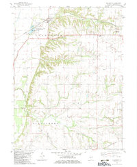
(21)- 1918 Map of La Harpe
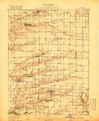 1918 La Harpe1918 Print · USGSWestern Illinois farm life in the late teens is captured here through a remarkably dense grid of rural schools and rail-fed townships. Genealogists can trace family footprints across dozens of local districts like Sunny Ridge School and Waggy School or along the Santa Fe line.4 unique versions available
 - 1934 Map of Oquawka
 1934 Oquawka1934 Print · USGSHenderson County river life and prairie farming are captured here in the mid-thirties, from the Mississippi sloughs to the railroad towns. Genealogists can locate family landmarks including the County Farm, Coghill Cem, and the Little Brick Sch.3 unique versions available
 - 1940 Map of Oquawka
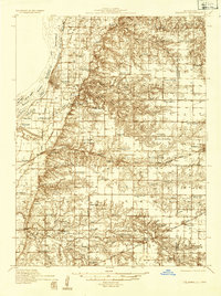
 1940 Oquawka1940 Print · USGSHenderson County's river-and-rail economy is captured here during the 1930s as the Mississippi River environment meets an expanding network of rural towns. Genealogists and historians can trace dozens of country schoolhouses and cemeteries, from the Little Brick Sch to South Henderson Cem.2 unique versions available
 - 1958 Map of Burlington, 1968 Print
 1958 Burlington1968 Print · USGSThe tri-state river country of Iowa, Illinois, and Missouri is captured here in the mid-fifties, dominated by the Mississippi River and major rail lines. Genealogists and historians can trace the development of river towns like Keokuk or locate the sprawling Iowa Army Ammunition Plant.4 unique versions available
 - 1961 Map of Burlington
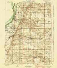
 1961 Burlington1961 Print · USGSThe tri-state borderlands along the Mississippi River are captured here during the late fifties and early sixties, showing the vital river-and-rail economy of Iowa, Illinois, and Missouri. Genealogists and historians can trace the development of major hubs like Galesburg and Macomb alongside landmark sites such as the Iowa Ordnance Plant and the historic river town of Nauvoo.
 - 1963 Map of Burlington
 1963 Burlington1963 Print · USGSThe tri-state river country of the Mississippi and Illinois valleys comes alive in this mid-century survey. Genealogists and historians can trace the industrial and academic growth of the region, from the Iowa Ordnance Plant to campuses like Knox College and Western Illinois University.
 - 1974 Map of Stronghurst, 1978 Print
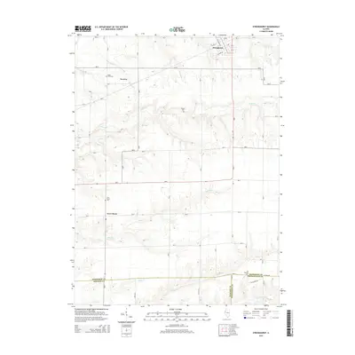
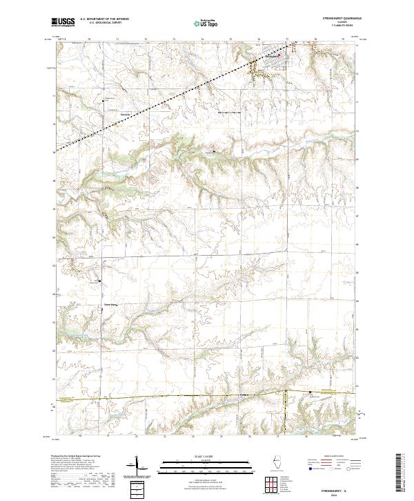
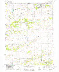 1974 Stronghurst1978 Print · USGSWestern Illinois farmland and the villages along the Santa Fe and Topeka Atchison railroad appear in this mid-seventies survey. Researchers can locate remote rural sites like the Old Bedford Ch, Smith Landing Strip, and Peasley Cem.
 - 1982 Map of Gladstone, 1983 Print
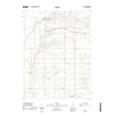
 1982 Gladstone1983 Print · USGSHenderson County's rural landscape is captured here in the early eighties, centered on the Gladstone rail corridor and surrounding farm country. Genealogists and local historians can trace family roots through numerous sites like Olena Cem, Hopper, and South Henderson Ch.
 - 1985 Map of Galesburg, 1986 Print
 1985 Galesburg1986 Print · USGSWestern Illinois in the mid-eighties was a landscape of riverfront forests and industrial rail hubs. Genealogists and historians can trace the growth of Galesburg and Monmouth alongside rural landmarks like Stronghurst and the coal operations of the Strip Mine near Canton.2 unique versions available
 - 1989 Map of Galesburg
 1989 Galesburg1989 Print · USGSWestern Illinois in the late eighties reveals a landscape of industrial rail hubs and riverfront timberland. Genealogists and historians can trace the routes of the Atchison Topeka and Santa Fe RR through small towns like Stronghurst, London Mills, and Middle Grove (Middlepoint).
 - 1990 Map of Burlington
 1990 Burlington1990 Print · USGSThe tri-state confluence of Iowa, Illinois, and Missouri is mapped here at the end of the twentieth century. Genealogists and historians can trace the riverfront heritage of Burlington, Keokuk, and Fort Madison, or locate sites like the Battle of Athens State Historic Site.2 unique versions available
 - 2012 Map of Gladstone, 2012 Print
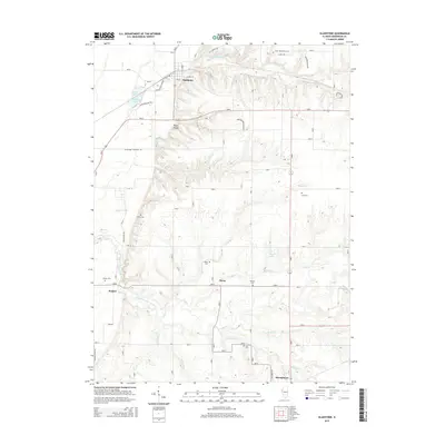
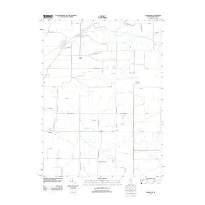 2012 Gladstone2012 Print · USGSCovers Stronghurst, including Gladstone, Hopper, and other nearby areas
 - 2012 Map of Stronghurst, 2012 Print
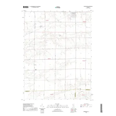
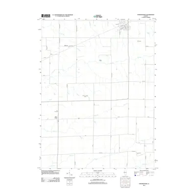 2012 Stronghurst2012 Print · USGSCovers Stronghurst, including Terre Haute, Decorra, and other nearby areas
 - 2015 Map of Stronghurst, 2015 Print
 2015 Stronghurst2015 Print · USGSCovers Stronghurst, including Terre Haute, Decorra, and other nearby areas
 - 2015 Map of Gladstone, 2015 Print
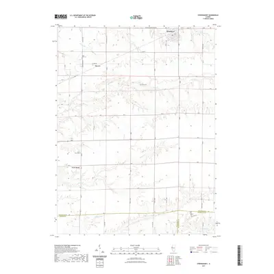
 2015 Gladstone2015 Print · USGSCovers Stronghurst, including Gladstone, Hopper, and other nearby areas
 - 2018 Map of Stronghurst, 2018 Print
 2018 Stronghurst2018 Print · USGSCovers Stronghurst, including Terre Haute, Decorra, and other nearby areas
 - 2018 Map of Gladstone, 2018 Print
 2018 Gladstone2018 Print · USGSCovers Stronghurst, including Gladstone, Hopper, and other nearby areas
 - 2021 Map of Stronghurst, 2021 Print
 2021 Stronghurst2021 Print · USGSCovers Stronghurst, including Terre Haute, Decorra, and other nearby areas
 - 2021 Map of Gladstone, 2021 Print
 2021 Gladstone2021 Print · USGSCovers Stronghurst, including Gladstone, Hopper, and other nearby areas
 - 2024 Map of Gladstone, 2024 Print
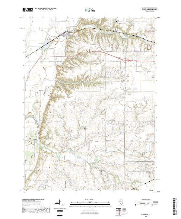 2024 Gladstone2024 Print · USGSHenderson County's agricultural heartland and rural settlements are shown here as they appeared in 2024. Genealogists can locate several family and community burial grounds like Best Cem, Huss Cem, and Kemp Cem, while tracing the course of South Henderson Creek.
 - 2024 Map of Stronghurst, 2024 Print
 2024 Stronghurst2024 Print · USGSWestern Illinois farm country and the village of Stronghurst are mapped in detail during this recent era. Genealogists can locate family burial sites at Maple Grove Cem and Terre Haute Cem or trace the winding banks of Honey Creek.
End of results
Showing maps 1-21 of 21
Top cities near Stronghurst
- Burlington historical maps
- Oquawka historical maps
- La Harpe historical maps
- Blandinsville historical maps
- Kirkwood historical maps
- Lomax historical maps
See more
Frequently asked questions
- What are the different types of historical maps available for Stronghurst?
- What is the oldest map of Stronghurst?
- Where can I purchase historical maps of Stronghurst for my home or office?
- Where can I download high-res historical maps of Stronghurst?
- Are there historical topographic maps available for Stronghurst?
- Is there historical aerial imagery available for Stronghurst?
- Where are historical maps of Stronghurst sourced from?