Old Maps of North Hooper, Illinois for Hiking & Exploration
Hike through history with 14 historic maps of North Hooper. Explore old trails, ghost towns, and forgotten backroads — perfect for outdoor adventurers and local explorers.
- Rediscover forgotten places: Map out old mining camps, roads, and footpaths that no longer exist on modern maps.
- Layer with modern tools: Combine with LiDAR or satellite views to plan hikes through historical terrain.
- Made for exploration: Popular among hikers, overlanders, and local history lovers.
Use these maps to find adventure and explore the hidden past of North Hooper.
North Hooper, IL maps
(14)- 1935 Map of Watseka
 1935 Watseka1935 Print · USGSIroquois County in the mid-1930s is a landscape of thriving rail-side villages and rural school districts connected by a dense rail network. Researchers can trace family history through dozens of landmarks like Independence Sch, Mt Taber Ch, and St Joseph Cem.
 - 1939 Map of Watseka
 1939 Watseka1939 Print · USGSIroquois County and the Illinois-Indiana borderlands are captured here during the mid-1930s as a thriving rail and agricultural corridor. Researchers can trace dozens of country schools like Weygandt Sch, small communities like Beaverville, and the grounds of the County Farm.2 unique versions available
 - 1953 Map of Danville, 1965 Print
 1953 Danville1965 Print · USGSIndiana and Illinois crossroads come to life in this mid-century survey as the interstate era begins to reshape the river-and-rail landscape. Genealogists and collectors can trace the historic paths of the Nickel Plate railroad or locate smaller communities like Veedersburg, Goodland, and Bismarck.3 unique versions available
 - 1955 Map of Danville
 1955 Danville1955 Print · USGSThe Indiana-Illinois borderlands during the mid-fifties reveal a landscape of thriving rail hubs and university towns. Researchers can trace the legacy of Purdue University, the Tippecanoe Battlefield, and the path of the Pennsylvania RR.
 - 1956 Map of Danville
 1956 Danville1956 Print · USGSMid-century Indiana and Illinois are captured here as the river-and-rail economy evolved into the modern highway era. Researchers can trace ancestral roots and old transport lines through Logansport, Battle Ground, and the dams at Lake Shafer.
 - 1964 Map of Donovan, 1965 Print
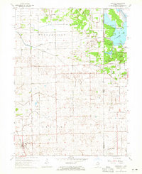 1964 Donovan1965 Print · USGSDonovan and the eastern edge of Iroquois County appear in the mid-1960s as a productive agricultural landscape bisected by two major railroads. Genealogists and local historians can trace family locations near Beaver Ch, Beaver Cem, and the rail stops at Hooper or North Hooper.
 - 1984 Map of Watseka, 1985 Print
 1984 Watseka1985 Print · USGSThe Illinois-Indiana borderlands thrived on a dense rail and river network during the mid-eighties. Genealogists and local historians can trace the foundations of rural life through landmarks like St Josephs College, the Iroquois Hospital, and towns like Milford and Beaverville.
 - 1990 Map of Watseka, 1991 Print
 1990 Watseka1991 Print · USGSThe Illinois and Indiana borderlands are captured here in the early nineties, showing a landscape defined by prairie drainage and rail lines. You can trace family roots through settlements like L'Erable and Raub or locate landmarks such as Saint Josephs College.
 - 2010 Map of Donovan, 2010 Print
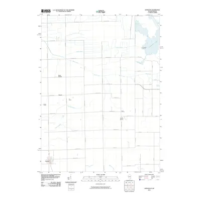 2010 Donovan2010 Print · USGSIroquois County and the Indiana borderlands are captured here in the first decade of the millennium, showing a landscape defined by prairie drainage. Researchers can trace local lineages through Beaver Cemetery and J H Grant Memorial Cemetery or locate the rural hubs of Donovan and Hooper.
 - 2012 Map of Donovan, 2012 Print
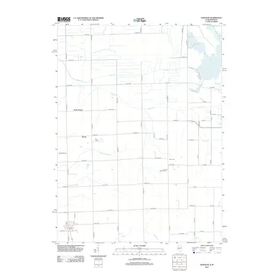 2012 Donovan2012 Print · USGSThe Illinois-Indiana borderlands appear as a meticulously drained agricultural landscape in this early twenty-first-century survey. Researchers can trace family history at the Beaver Cem or locate local landmarks like Loy Airport and North Hooper.
 - 2015 Map of Donovan, 2015 Print
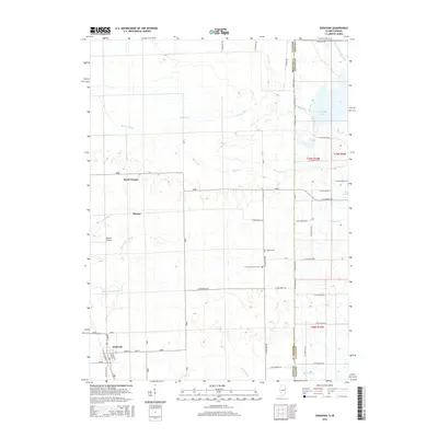 2015 Donovan2015 Print · USGSThe Illinois-Indiana borderlands appear here in the early twenty-first century, showcasing a landscape of intensive agricultural drainage and rural settlements. Researchers can trace family roots at Beaver Cem or locate the site of North Hooper and Russell Airport.
 - 2018 Map of Donovan, 2018 Print
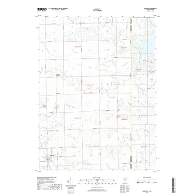 2018 Donovan2018 Print · USGSThe Illinois-Indiana border near Donovan is revealed in this 2018 survey, highlighting a rural landscape shaped by prairie drainage. Trace local history through the J H Grant Memorial Cem and old settlements like North Hooper and Hooper.
 - 2021 Map of Donovan, 2021 Print
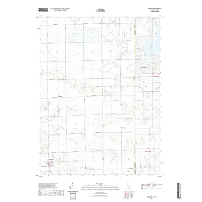 2021 Donovan2021 Print · USGSIroquois County farm country and the Indiana borderlands meet in this recent survey of the Donovan area. Genealogists and local historians can locate Donovan, Hooper, and family landmarks like the J H Grant Memorial Cem or Russell Airport.
 - 2024 Map of Donovan, 2024 Print
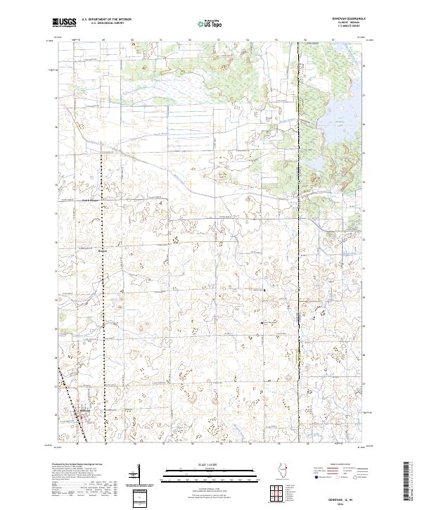 2024 Donovan2024 Print · USGSIroquois County farmland meets the Indiana border in this recent survey of a landscape defined by its prairie drainage systems. Genealogists can trace family sites near Donovan or locate the Beaver Cem and J H Grant Memorial Cem.
End of results
Showing maps 1-14 of 14
Top cities near North Hooper
- Kankakee historical maps
- Bradley historical maps
- Watseka historical maps
- Momence historical maps
- Kentland historical maps
- Sheldon historical maps
See more
Frequently asked questions
- What are the different types of historical maps available for North Hooper?
- What is the oldest map of North Hooper?
- Where can I purchase historical maps of North Hooper for my home or office?
- Where can I download high-res historical maps of North Hooper?
- Are there historical topographic maps available for North Hooper?
- Is there historical aerial imagery available for North Hooper?
- Where are historical maps of North Hooper sourced from?