2020s Maps of Watseka, Illinois
Explore 4 historic maps of Watseka from the 2020s. These maps offer a rare glimpse into what life looked like during the 2020s — showing old roads, neighborhoods, homes, and landmarks that have changed or disappeared over time.
Whether you're researching your family's past, planning a metal detecting trip, or studying how Watseka's landscape evolved across the 2020s, these high-resolution maps are a powerful tool for exploring the history of this region.
- Focus on a specific era: All maps on this page are from the 2020s, giving you a focused view of this time period.
- See what’s changed: Compare century-old streets, trails, and buildings to today's modern landscape using overlays and satellite layers.
- Research with precision: Use these maps for genealogy, historical research, land use analysis, or educational projects.
- View, download, or print: Maps are fully viewable online in high resolution, and can be downloaded or printed for your own records.
Start exploring Watseka's history through authentic maps from the 2020s. This is your window into the past.
Watseka, IL maps
(4)- 2021 Map of Crescent City, 2021 Print
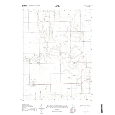 2021 Crescent City2021 Print · USGSCovers Watseka, including Crescent City, Iroquois County, and other nearby areas
 - 2021 Map of Watseka, 2021 Print
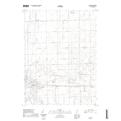 2021 Watseka2021 Print · USGSCovers Watseka, including Eastburn, Pittwood, and other nearby areas
 - 2024 Map of Watseka, 2024 Print
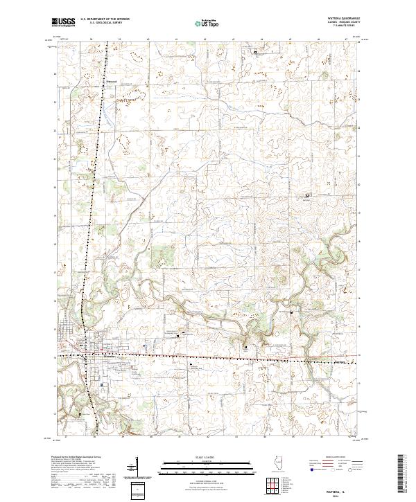 2024 Watseka2024 Print · USGSWatseka and its surrounding Iroquois County townships are shown here in the 2020s as a landscape of river-confluence settlements and quiet rural cemeteries. Researchers can locate family sites at the Grand Army of the Republic Cem or trace the Iroquois River past Eastburn and Pittwood.
 - 2024 Map of Crescent City, 2024 Print
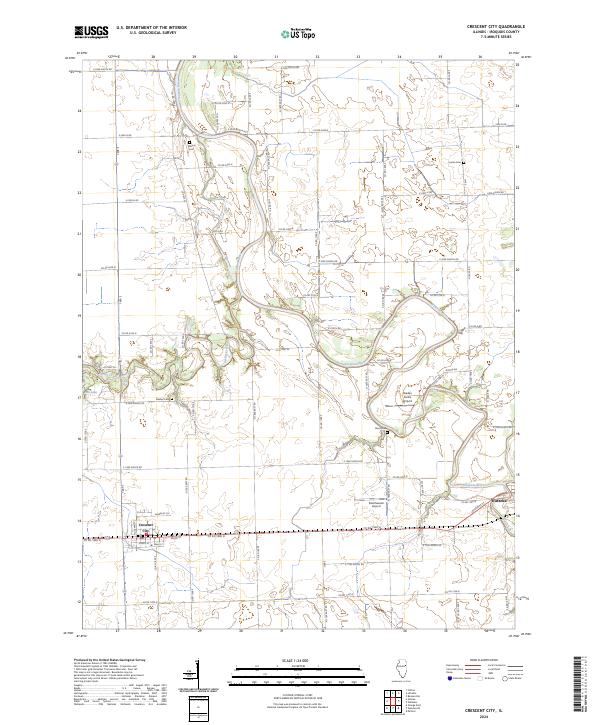 2024 Crescent City2024 Print · USGSIroquois County's agricultural heartland is documented here in the early 2020s, centered on the intersection of rural life and the Iroquois River valley. Researchers can pinpoint long-standing local landmarks like Wilson Cem, Crescent City, and Braden Farms Airport.
End of results
Showing maps 1-4 of 4
Top cities near Watseka
- Milford historical maps
- Clifton historical maps
- Sheldon historical maps
- Chebanse historical maps
- Cissna Park historical maps
- Ashkum historical maps
See more
Frequently asked questions
- What are the different types of historical maps available for Watseka?
- What is the oldest map of Watseka?
- Where can I purchase historical maps of Watseka for my home or office?
- Where can I download high-res historical maps of Watseka?
- Are there historical topographic maps available for Watseka?
- Is there historical aerial imagery available for Watseka?
- Where are historical maps of Watseka sourced from?