Old Maps of Watseka, Illinois for Academic Research
Study the evolution of Watseka with 21 high-resolution historic maps. Whether you're teaching, researching, or modeling changes in land use, these maps provide essential visual documentation of urban, environmental, and geographic change.
- Analyze long-term change: Track patterns in development, transportation, and natural features.
- Ideal for environmental or urban studies: Support academic projects with primary historical map data.
- Use in the classroom or lab: Educators and researchers rely on these maps to bring historical context to life.
These maps are a powerful tool for teaching, research, and visualizing how Watseka has changed over the decades.
Watseka, IL maps
(21)- 1935 Map of Watseka
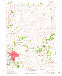
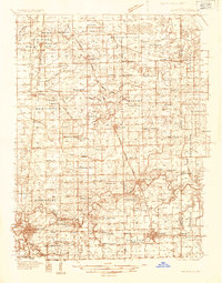 1935 Watseka1935 Print · USGSIroquois County in the mid-1930s is a landscape of thriving rail-side villages and rural school districts connected by a dense rail network. Researchers can trace family history through dozens of landmarks like Independence Sch, Mt Taber Ch, and St Joseph Cem.
 - 1939 Map of Watseka
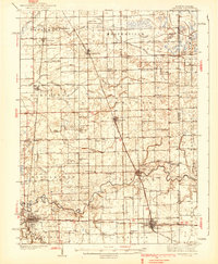 1939 Watseka1939 Print · USGSIroquois County and the Illinois-Indiana borderlands are captured here during the mid-1930s as a thriving rail and agricultural corridor. Researchers can trace dozens of country schools like Weygandt Sch, small communities like Beaverville, and the grounds of the County Farm.2 unique versions available
 - 1944 Map of Gilman, 1966 Print
 1944 Gilman1966 Print · USGSIroquois County at the end of the Second World War reveals a dense network of prairie schoolhouses and rail towns. Genealogists can trace family names through Clark Cem and dozens of country schools like Swival Sch or Ross Farm Sch.2 unique versions available
 - 1946 Map of Gilman
 1946 Gilman1946 Print · USGSIroquois County at the close of World War II is a landscape defined by the iron rails and the prairie. Researchers can trace rural school districts like Old Burg Sch and locate ancestral burial grounds such as Bardon Cem and Pierce Cem.2 unique versions available
 - 1953 Map of Danville, 1965 Print
 1953 Danville1965 Print · USGSIndiana and Illinois crossroads come to life in this mid-century survey as the interstate era begins to reshape the river-and-rail landscape. Genealogists and collectors can trace the historic paths of the Nickel Plate railroad or locate smaller communities like Veedersburg, Goodland, and Bismarck.3 unique versions available
 - 1955 Map of Danville
 1955 Danville1955 Print · USGSThe Indiana-Illinois borderlands during the mid-fifties reveal a landscape of thriving rail hubs and university towns. Researchers can trace the legacy of Purdue University, the Tippecanoe Battlefield, and the path of the Pennsylvania RR.
 - 1956 Map of Danville
 1956 Danville1956 Print · USGSMid-century Indiana and Illinois are captured here as the river-and-rail economy evolved into the modern highway era. Researchers can trace ancestral roots and old transport lines through Logansport, Battle Ground, and the dams at Lake Shafer.
 - 1964 Map of Watseka, 1965 Print
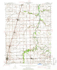
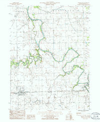
 1964 Watseka1965 Print · USGSWatseka sits at a strategic river confluence in the mid-1960s, serving as a vital rail junction for the Chicago and Eastern Illinois. Local historians can trace family plots at Oak Hill Cemetery and locate vanished rural landmarks like Prairie Dell Ch.
 - 1984 Map of Watseka, 1985 Print
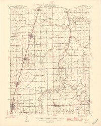
 1984 Watseka1985 Print · USGSThe Illinois-Indiana borderlands thrived on a dense rail and river network during the mid-eighties. Genealogists and local historians can trace the foundations of rural life through landmarks like St Josephs College, the Iroquois Hospital, and towns like Milford and Beaverville.
 - 1986 Map of Crescent City
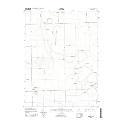
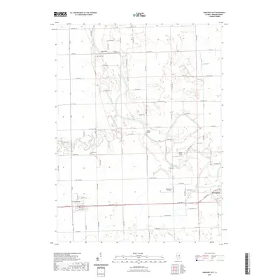
 1986 Crescent City1986 Print · USGSIroquois County at the mid-eighties shows a landscape of river confluences and rural infrastructure. Researchers can trace the paths of the Iroquois River and Spring Creek or locate local landmarks like the Radio Towers WGFA and the Cem.
 - 1990 Map of Watseka, 1991 Print
 1990 Watseka1991 Print · USGSThe Illinois and Indiana borderlands are captured here in the early nineties, showing a landscape defined by prairie drainage and rail lines. You can trace family roots through settlements like L'Erable and Raub or locate landmarks such as Saint Josephs College.
 - 2012 Map of Crescent City, 2012 Print
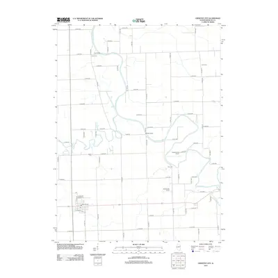 2012 Crescent City2012 Print · USGSCovers Watseka, including Crescent City, Iroquois County, and other nearby areas
 - 2012 Map of Watseka, 2012 Print
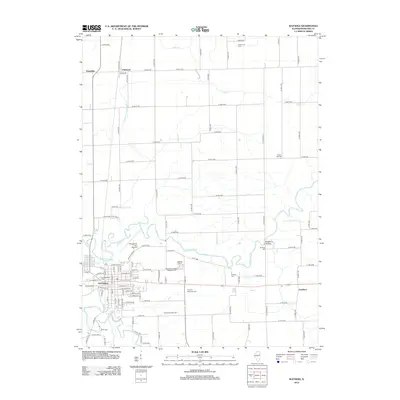 2012 Watseka2012 Print · USGSCovers Watseka, including Eastburn, Pittwood, and other nearby areas
 - 2015 Map of Crescent City, 2015 Print
 2015 Crescent City2015 Print · USGSCovers Watseka, including Crescent City, Iroquois County, and other nearby areas
 - 2015 Map of Watseka, 2015 Print
 2015 Watseka2015 Print · USGSCovers Watseka, including Eastburn, Pittwood, and other nearby areas
 - 2018 Map of Watseka, 2018 Print
 2018 Watseka2018 Print · USGSCovers Watseka, including Eastburn, Pittwood, and other nearby areas
 - 2018 Map of Crescent City, 2018 Print
 2018 Crescent City2018 Print · USGSCovers Watseka, including Crescent City, Iroquois County, and other nearby areas
 - 2021 Map of Crescent City, 2021 Print
 2021 Crescent City2021 Print · USGSCovers Watseka, including Crescent City, Iroquois County, and other nearby areas
 - 2021 Map of Watseka, 2021 Print
 2021 Watseka2021 Print · USGSCovers Watseka, including Eastburn, Pittwood, and other nearby areas
 - 2024 Map of Watseka, 2024 Print
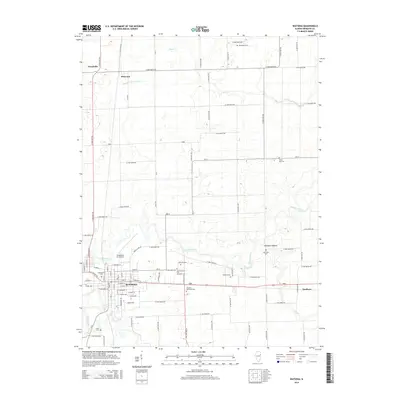
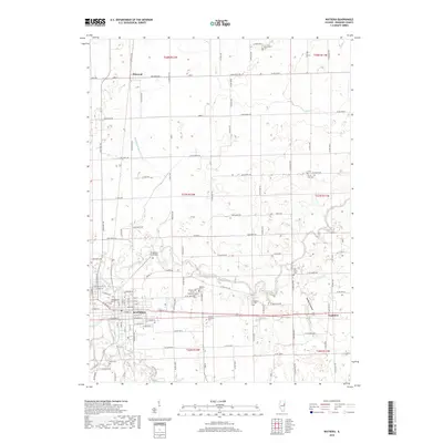
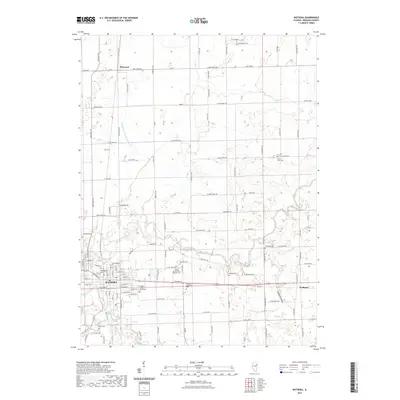
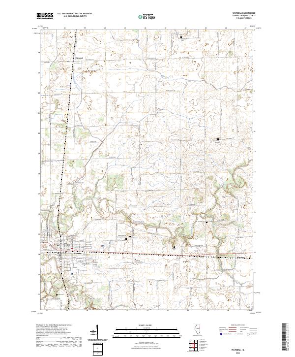 2024 Watseka2024 Print · USGSWatseka and its surrounding Iroquois County townships are shown here in the 2020s as a landscape of river-confluence settlements and quiet rural cemeteries. Researchers can locate family sites at the Grand Army of the Republic Cem or trace the Iroquois River past Eastburn and Pittwood.
 - 2024 Map of Crescent City, 2024 Print
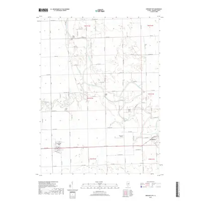
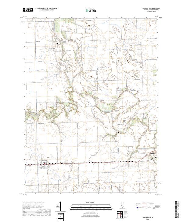 2024 Crescent City2024 Print · USGSIroquois County's agricultural heartland is documented here in the early 2020s, centered on the intersection of rural life and the Iroquois River valley. Researchers can pinpoint long-standing local landmarks like Wilson Cem, Crescent City, and Braden Farms Airport.
End of results
Showing maps 1-21 of 21
Top cities near Watseka
- Milford historical maps
- Clifton historical maps
- Sheldon historical maps
- Chebanse historical maps
- Cissna Park historical maps
- Ashkum historical maps
See more
Frequently asked questions
- What are the different types of historical maps available for Watseka?
- What is the oldest map of Watseka?
- Where can I purchase historical maps of Watseka for my home or office?
- Where can I download high-res historical maps of Watseka?
- Are there historical topographic maps available for Watseka?
- Is there historical aerial imagery available for Watseka?
- Where are historical maps of Watseka sourced from?