2020s Maps of Aurora Township, Illinois
Explore 9 historic maps of Aurora Township from the 2020s. These maps offer a rare glimpse into what life looked like during the 2020s — showing old roads, neighborhoods, homes, and landmarks that have changed or disappeared over time.
Whether you're researching your family's past, planning a metal detecting trip, or studying how Aurora Township's landscape evolved across the 2020s, these high-resolution maps are a powerful tool for exploring the history of this region.
- Focus on a specific era: All maps on this page are from the 2020s, giving you a focused view of this time period.
- See what’s changed: Compare century-old streets, trails, and buildings to today's modern landscape using overlays and satellite layers.
- Research with precision: Use these maps for genealogy, historical research, land use analysis, or educational projects.
- View, download, or print: Maps are fully viewable online in high resolution, and can be downloaded or printed for your own records.
Start exploring Aurora Township's history through authentic maps from the 2020s. This is your window into the past.
Aurora Township, IL maps
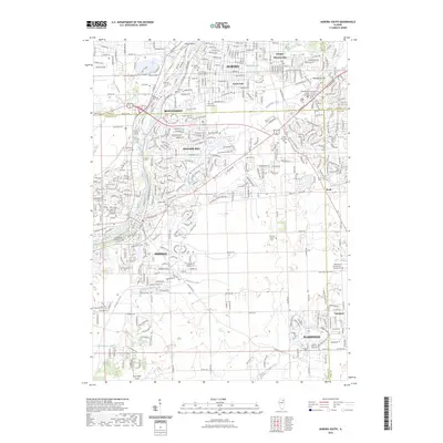
(9)- 2021 Map of Aurora North, 2021 Print
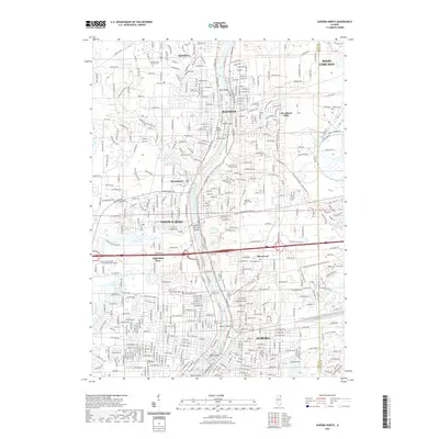 2021 Aurora North2021 Print · USGSCovers Aurora Township, including Aurora, Batavia, and other nearby areas
 - 2021 Map of Aurora South, 2021 Print
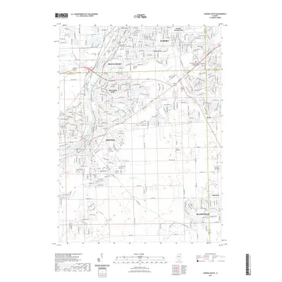 2021 Aurora South2021 Print · USGSCovers Aurora Township, including Aurora, Plainfield, and other nearby areas
 - 2021 Map of Sugar Grove, 2021 Print
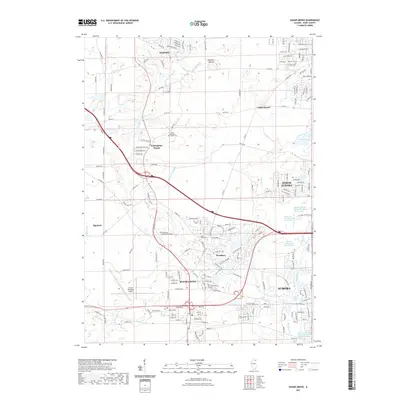 2021 Sugar Grove2021 Print · USGSCovers Aurora Township, including Aurora, North Aurora, and other nearby areas
 - 2021 Map of Yorkville, 2021 Print
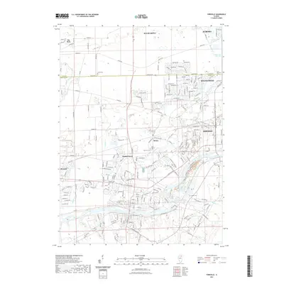 2021 Yorkville2021 Print · USGSCovers Aurora Township, including Aurora, Oswego, and other nearby areas
 - 2023 Map of Aurora South, 2023 Print
 2023 Aurora South2023 Print · USGSCovers Aurora Township, including Aurora, Plainfield, and other nearby areas
 - 2024 Map of Yorkville, 2024 Print
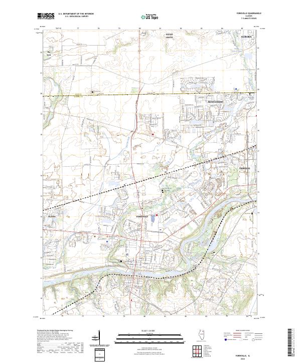 2024 Yorkville2024 Print · USGSKendall County enters a new era of suburban expansion while maintaining its river-valley roots in this recent survey. Researchers can trace the development of Yorkville and Oswego or locate historic sites like the Kendall County Courthouse and Jericho Cem.
 - 2024 Map of Sugar Grove, 2024 Print
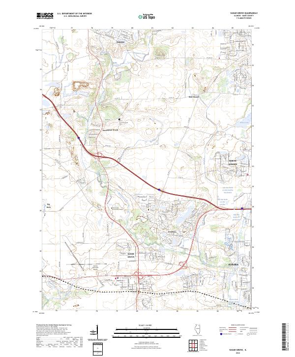 2024 Sugar Grove2024 Print · USGSSugar Grove and its Kane County neighbors are captured in this contemporary look at a growing Illinois community. Local historians can trace the development of Sugar Grove and Prestbury while locating family roots at Sugar Grove Cem and Lance-Saunders Family Cem.
 - 2024 Map of Aurora North, 2024 Print
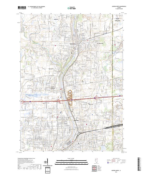 2024 Aurora North2024 Print · USGSThe Fox River valley is seen here in the modern era, showing the continuous urban corridor from Geneva down to Aurora. Genealogists and historians can trace numerous local burial sites like Westside Cem and Pioneer Cem alongside landmarks such as Stolp Island.
 - 2024 Map of Aurora South, 2024 Print
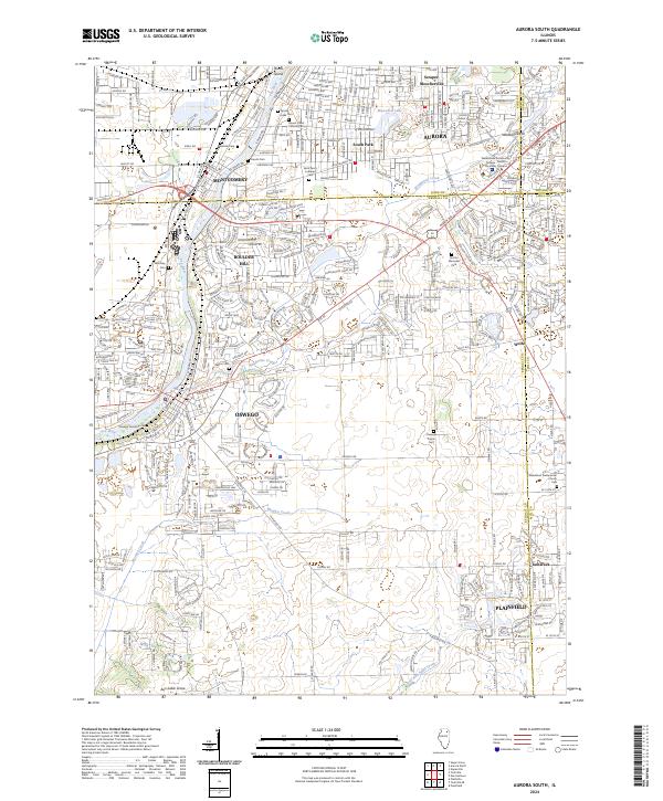 2024 Aurora South2024 Print · USGSThe Fox River corridor south of Aurora is shown in contemporary detail during this period of suburban growth. Genealogists can trace family sites at Oswego Township Cem and Wormley Cem, or locate landmarks like Mastodon Lake.
End of results
Showing maps 1-9 of 9
Top cities near Aurora Township
- Aurora historical maps
- Joliet historical maps
- Naperville historical maps
- Elgin historical maps
- Schaumburg historical maps
- Bolingbrook historical maps
See more
Top neighborhoods of Aurora Township
- South Park historical maps
- Scraper-Moecherville historical maps
- Marywood historical maps
- Exposition View historical maps
Frequently asked questions
- What are the different types of historical maps available for Aurora Township?
- What is the oldest map of Aurora Township?
- Where can I purchase historical maps of Aurora Township for my home or office?
- Where can I download high-res historical maps of Aurora Township?
- Are there historical topographic maps available for Aurora Township?
- Is there historical aerial imagery available for Aurora Township?
- Where are historical maps of Aurora Township sourced from?