Old Maps of Aurora Township, Illinois for Academic Research
Study the evolution of Aurora Township with 38 high-resolution historic maps. Whether you're teaching, researching, or modeling changes in land use, these maps provide essential visual documentation of urban, environmental, and geographic change.
- Analyze long-term change: Track patterns in development, transportation, and natural features.
- Ideal for environmental or urban studies: Support academic projects with primary historical map data.
- Use in the classroom or lab: Educators and researchers rely on these maps to bring historical context to life.
These maps are a powerful tool for teaching, research, and visualizing how Aurora Township has changed over the decades.
Aurora Township, IL maps
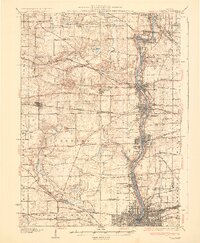
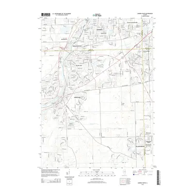
(38)- 1925 Map of Yorkville
 1925 Yorkville1925 Print · USGSKendall County in the mid-twenties shows a landscape of river-valley commerce and a dense network of interurban electric rail lines. Genealogists can locate family-named schoolhouses like Tamarack School and rural hubs such as Platteville and Helmar.2 unique versions available
 - 1932 Map of Geneva
 1932 Geneva1932 Print · USGSThe Fox River valley is a hive of early twentieth-century industry and civic life. Genealogists can trace family names through rural landmarks like Johnsons Mound or the many country schools, including Red Brick Sch and Stewart Sch.3 unique versions available
 - 1948 Map of Geneva, 1964 Print
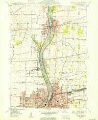
 1948 Geneva1964 Print · USGSThe Fox River valley thrives in the late 1940s, showing the industrial cores of Geneva and Batavia before the suburban boom. Trace the complex rail network through Elburn and St Charles, or locate rural landmarks like Johnsons Mound and Red Brick Sch.
 - 1950 Map of Aurora North
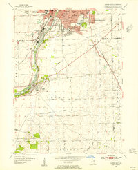
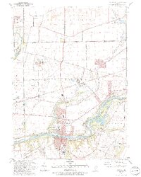
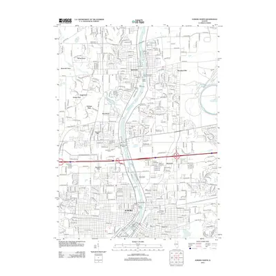
 1950 Aurora North1950 Print · USGSKane County's river-driven industrial corridor is in full mid-century expansion between Batavia and Aurora. Genealogists and researchers can trace local institutions and schools such as Mooseheart, Aurora College, and Neilson Grove Sch.
 - 1953 Map of Yorkville, 1955 Print
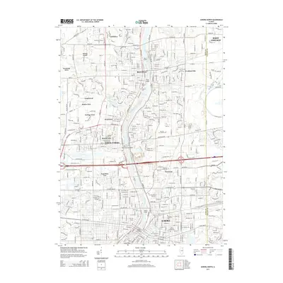
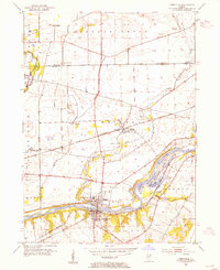 1953 Yorkville1955 Print · USGSThe Fox River valley in the early 1950s shows the development of Kendall County just as suburban patterns began to reach the prairie. Researchers can trace historic family burial sites at Jericho Cem or locate the site of the Keck Sch (Abandoned) and Bristol (PO and Sta).3 unique versions available
 - 1954 Map of Aurora South, 1955 Print
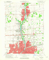
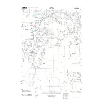
 1954 Aurora South1955 Print · USGSThe Fox River valley and the southern reaches of Aurora are captured in the mid-fifties, showing a landscape of growing suburbs and rural prairie. Genealogists can trace family names at Mt Olivet Cem or locate the rural Oswego Prairie Ch and Scotch Sch.4 unique versions available
 - 1954 Map of Yorkville, 1959 Print
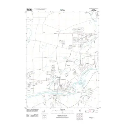
 1954 Yorkville1959 Print · USGSKendall County in the mid-1950s shows a balance between growing riverside towns and an expansive agricultural interior. Genealogists can trace family roots through rural landmarks like Naausay Ch, Jericho Cem, and the long-standing diagonal of the Old Indian Boundary.2 unique versions available
 - 1958 Map of Aurora, 1969 Print
 1958 Aurora1969 Print · USGSNorthern Illinois in the late fifties shows a landscape of powerful river industry and expanding transport corridors. Genealogists and historians can trace the development of Aurora and Joliet or locate sites like the Elwood Ordnance Plant and Starved Rock.3 unique versions available
 - 1961 Map of Aurora
 1961 Aurora1961 Print · USGSNorthern Illinois at the height of the post-war era reveals a landscape of massive industrial works and thriving river towns. Genealogists and historians can trace the paths of the Lincoln Highway or locate long-standing landmarks like the Green River Ordnance Plant and Starved Rock State Park.
 - 1964 Map of Aurora North, 1965 Print
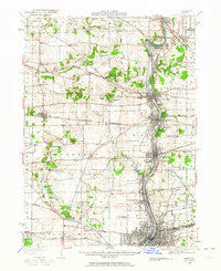
 1964 Aurora North1965 Print · USGSThe Fox River valley in the mid-sixties shows the transition from industrial river towns to expanding suburbs. Researchers can trace the development of civic life through sites like Mooseheart, the Aurora Downs track, and the historic Campana landmark.3 unique versions available
 - 1964 Map of Sugar Grove, 1965 Print
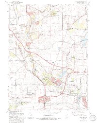
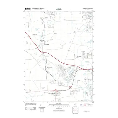
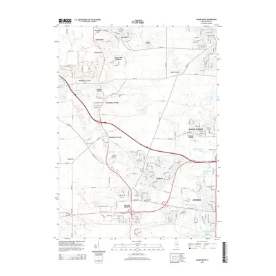
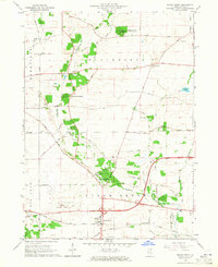 1964 Sugar Grove1965 Print · USGSSugar Grove and its surrounding Kane County townships are shown in the mid-1960s as the area balanced its rural roots with new infrastructure. Genealogists and local historians can locate the Sugar Grove Cem, Camp Ka-De-Ka, and the early layout of the Aurora Municipal Airport.3 unique versions available
 - 1985 Map of Aurora, 1989 Print
 1985 Aurora1989 Print · USGSNortheastern Illinois is captured in the mid-1980s as suburban growth began to bridge the gap between the Fox River cities and the outer prairies. Researchers can trace the development of Naperville and Aurora or locate rural landmarks like Fairview Cem and the Illinois and Michigan Canal.
 - 1993 Map of Aurora South, 1994 Print
 1993 Aurora South1994 Print · USGSThe Fox River corridor shows significant suburban growth in the early nineties as residential developments expand around Oswego. Genealogists and local historians can trace family sites at Oswego Prairie Cemetery and the small settlement of Wolfs.
 - 1993 Map of Yorkville, 1994 Print
 1993 Yorkville1994 Print · USGSThe Fox River valley in the early nineties shows a landscape of river-front parks and historic transit routes. Genealogists can trace family names at St Patricks Cem and Oak Grove Cem or locate the Glen D Palmer State Game Farm.
 - 1993 Map of Aurora North, 1994 Print
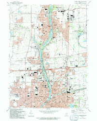 1993 Aurora North1994 Print · USGSThe Fox River valley was thriving in the 1990s as it balanced industrial heritage with cutting-edge science and education. Genealogists and researchers can locate numerous landmarks including Mt Olivet Cem, the Marmion Military Academy, and the Fermi National Accelerater Laboratory.
 - 1993 Map of Sugar Grove, 1994 Print
 1993 Sugar Grove1994 Print · USGSThe Kane County countryside near the end of the twentieth century shows a landscape transitioning from rural gravel mining to suburban expansion. Genealogists and historians can trace family landmarks like Sugar Grove Cem, Johnsons Mound, and the Waubonsee Community College campus.
 - 1998 Map of Aurora North, 2002 Print
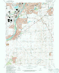
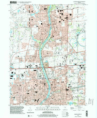 1998 Aurora North2002 Print · USGSThe Fox River valley in the late 1990s shows a unique mix of high-tech research and historic riverfront communities. Researchers can trace the development of Fermilab, locate family plots at Pioneer Cem, or find the campus of Marmion Military Academy.
 - 2012 Map of Aurora South, 2012 Print
 2012 Aurora South2012 Print · USGSCovers Aurora Township, including Aurora, Plainfield, and other nearby areas
 - 2012 Map of Yorkville, 2012 Print
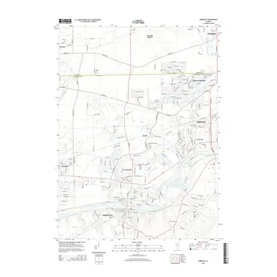
 2012 Yorkville2012 Print · USGSCovers Aurora Township, including Aurora, Oswego, and other nearby areas
 - 2012 Map of Sugar Grove, 2012 Print
 2012 Sugar Grove2012 Print · USGSCovers Aurora Township, including Aurora, North Aurora, and other nearby areas
 - 2012 Map of Aurora North, 2012 Print
 2012 Aurora North2012 Print · USGSCovers Aurora Township, including Aurora, Batavia, and other nearby areas
 - 2015 Map of Aurora South, 2015 Print
 2015 Aurora South2015 Print · USGSCovers Aurora Township, including Aurora, Plainfield, and other nearby areas
 - 2015 Map of Aurora North, 2015 Print
 2015 Aurora North2015 Print · USGSCovers Aurora Township, including Aurora, Batavia, and other nearby areas
 - 2015 Map of Yorkville, 2015 Print
 2015 Yorkville2015 Print · USGSCovers Aurora Township, including Aurora, Oswego, and other nearby areas
 - 2015 Map of Sugar Grove, 2015 Print
 2015 Sugar Grove2015 Print · USGSCovers Aurora Township, including Aurora, North Aurora, and other nearby areas
Showing maps 1-25 of 38
Top cities near Aurora Township
- Aurora historical maps
- Joliet historical maps
- Naperville historical maps
- Elgin historical maps
- Schaumburg historical maps
- Bolingbrook historical maps
See more
Top neighborhoods of Aurora Township
- South Park historical maps
- Scraper-Moecherville historical maps
- Marywood historical maps
- Exposition View historical maps
Frequently asked questions
- What are the different types of historical maps available for Aurora Township?
- What is the oldest map of Aurora Township?
- Where can I purchase historical maps of Aurora Township for my home or office?
- Where can I download high-res historical maps of Aurora Township?
- Are there historical topographic maps available for Aurora Township?
- Is there historical aerial imagery available for Aurora Township?
- Where are historical maps of Aurora Township sourced from?