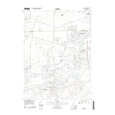
2015 Map of Yorkville
USGS Topo · Published 2015About this map
The Fox River corridor serves as the geographic anchor for this Kendall and Kane County landscape, where the growing communities of Yorkville, Oswego, and Montgomery define the region's modern layout. This survey documents the transition from the expansive agricultural plains of Big Rock and Bristol to the suburban expansion south of Aurora. The presence of several established cemeteries, including Elmwood Cem and Keck Memorial Cem, offers a detailed record for genealogists tracing family roots near the historic river crossings.
Find a feature on this map
55 named features on this map. Tap any name to fly to it.
Don’t see what you’re looking for? This feature index may not catch every label — zoom into the map to look around manually.
Map Details
Editions of this 2015 Yorkville Map
This is the sole edition of this map. No revisions or reprints were ever made.
Other maps of this area

1925 · Yorkville
USGS Topo · 1:62,500

1932 · Geneva
USGS Topo · 1:62,500

1937 · Sycamore
USGS Topo · 1:62,500

1948 · Geneva
USGS Topo · 1:62,500

1948 · Sandwich
USGS Topo · 1:62,500

1950 · Sandwich
USGS Topo · 1:62,500

1950 · Aurora North
USGS Topo · 1:24,000

1953 · Plattville
USGS Topo · 1:24,000

1953 · Yorkville
USGS Topo · 1:24,000

1953 · Yorkville SE
USGS Topo · 1:24,000