Old Maps of Blackberry Township, Illinois for Metal Detecting
Plan your next treasure hunt with 19 historic maps of Blackberry Township. Find old homesites, ghost towns, trails, and gathering spots that may be lost to time — perfect for identifying promising metal detecting locations.
- Locate forgotten sites: Uncover places like long-lost settlements, abandoned rail lines, or gathering spots.
- Plan better hunts: Use map overlays combined with LiDAR or satellite views to narrow in on historically rich areas.
- Made for detectorists: Thousands of hobbyists use these maps to discover relics, coins, and hidden history.
Use these historic maps to boost your research and find new opportunities beneath the surface of Blackberry Township.
Blackberry Township, IL maps
(19)- 1932 Map of Geneva
 1932 Geneva1932 Print · USGSThe Fox River valley is a hive of early twentieth-century industry and civic life. Genealogists can trace family names through rural landmarks like Johnsons Mound or the many country schools, including Red Brick Sch and Stewart Sch.3 unique versions available
 - 1948 Map of Geneva, 1964 Print
 1948 Geneva1964 Print · USGSThe Fox River valley thrives in the late 1940s, showing the industrial cores of Geneva and Batavia before the suburban boom. Trace the complex rail network through Elburn and St Charles, or locate rural landmarks like Johnsons Mound and Red Brick Sch.
 - 1958 Map of Aurora, 1969 Print
 1958 Aurora1969 Print · USGSNorthern Illinois in the late fifties shows a landscape of powerful river industry and expanding transport corridors. Genealogists and historians can trace the development of Aurora and Joliet or locate sites like the Elwood Ordnance Plant and Starved Rock.3 unique versions available
 - 1961 Map of Aurora
 1961 Aurora1961 Print · USGSNorthern Illinois at the height of the post-war era reveals a landscape of massive industrial works and thriving river towns. Genealogists and historians can trace the paths of the Lincoln Highway or locate long-standing landmarks like the Green River Ordnance Plant and Starved Rock State Park.
 - 1964 Map of Elburn, 1965 Print
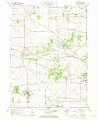 1964 Elburn1965 Print · USGSKane County in the mid-sixties shows a landscape of steady growth along the Chicago and North Western and Chicago Great Western railroads. Genealogists can trace family names through numerous burial sites like Lily Lake Cem or Baker Cem and explore institutions like Broadview Academy.3 unique versions available
 - 1964 Map of Sugar Grove, 1965 Print
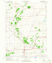 1964 Sugar Grove1965 Print · USGSSugar Grove and its surrounding Kane County townships are shown in the mid-1960s as the area balanced its rural roots with new infrastructure. Genealogists and local historians can locate the Sugar Grove Cem, Camp Ka-De-Ka, and the early layout of the Aurora Municipal Airport.3 unique versions available
 - 1985 Map of Aurora, 1989 Print
 1985 Aurora1989 Print · USGSNortheastern Illinois is captured in the mid-1980s as suburban growth began to bridge the gap between the Fox River cities and the outer prairies. Researchers can trace the development of Naperville and Aurora or locate rural landmarks like Fairview Cem and the Illinois and Michigan Canal.
 - 1993 Map of Elburn, 1994 Print
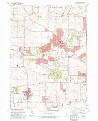 1993 Elburn1994 Print · USGSKane County is captured here in the early nineties as rural townships began to interface with suburban growth. Genealogists can trace family names at Blackberry Cem or New Hampshire Cem and follow the old Chicago and North Western rail line.
 - 1993 Map of Sugar Grove, 1994 Print
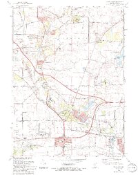 1993 Sugar Grove1994 Print · USGSThe Kane County countryside near the end of the twentieth century shows a landscape transitioning from rural gravel mining to suburban expansion. Genealogists and historians can trace family landmarks like Sugar Grove Cem, Johnsons Mound, and the Waubonsee Community College campus.
 - 2012 Map of Sugar Grove, 2012 Print
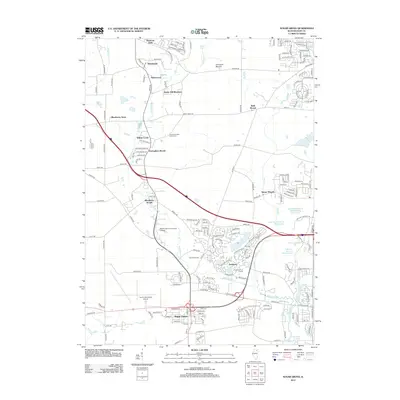 2012 Sugar Grove2012 Print · USGSSugar Grove and southern Kane County show a landscape of growing residential developments and regional infrastructure in the early 2010s. Researchers can locate the Lance-Saunders Family Cem or trace the drainage of Lake Run near Waubonsee Community College.
 - 2012 Map of Elburn, 2012 Print
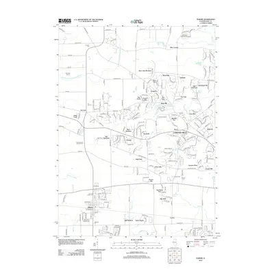 2012 Elburn2012 Print · USGSKane County's transition from agricultural prairie to suburban enclaves is captured here during the early twenty-first century. Genealogists and local historians can trace legacy sites like the New Hampshire Settlement Cem, Blackberry Cem, and the historic Garfield Farm Cem.
 - 2015 Map of Sugar Grove, 2015 Print
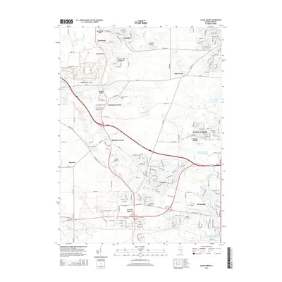 2015 Sugar Grove2015 Print · USGSThe western edges of the Fox Valley were undergoing significant suburbanization in the mid-2010s. Researchers can trace the layout of Sugar Grove and Prestbury, or locate local landmarks like Johnsons Mound and the Sugar Grove Cem.
 - 2015 Map of Elburn, 2015 Print
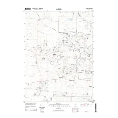 2015 Elburn2015 Print · USGSCentral Kane County in the mid-2010s reveals a blend of suburban growth and preserved pioneer heritage. Genealogists can locate several historic burial grounds including Lily Lake Cem, Whitney Cem, and the New Hampshire Settlement Cem.
 - 2018 Map of Elburn, 2018 Print
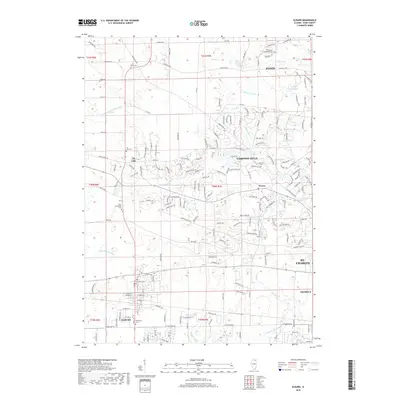 2018 Elburn2018 Print · USGSKane County's agricultural heartland and the growing village of Elburn are documented here in the late twenty-teens. Genealogists and local historians can locate numerous pioneer burial grounds including New Hampshire Cem, Whitney Cem, and Lily Lake Cem.
 - 2018 Map of Sugar Grove, 2018 Print
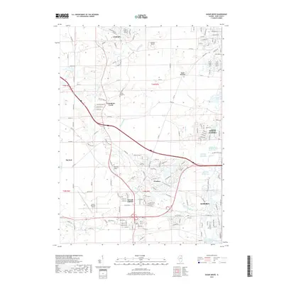 2018 Sugar Grove2018 Print · USGSThe western suburbs of Aurora were entering a period of significant growth and infrastructural change during the late twenty-teens. Researchers can trace the intersection of legacy sites like Sugar Grove Cem with modern landmarks such as Waubonsee Community College and Aurora Municipal Airport.
 - 2021 Map of Elburn, 2021 Print
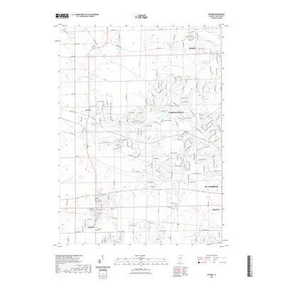 2021 Elburn2021 Print · USGSKane County's transition from rural farmsteads to modern residential communities is captured here in the early twenty-first century. Genealogists and local historians can map out old burial grounds like New Hampshire Cem and Campton Cem alongside the growth of Elburn and Wasco.
 - 2021 Map of Sugar Grove, 2021 Print
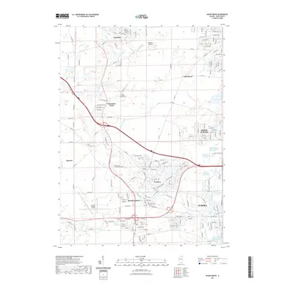 2021 Sugar Grove2021 Print · USGSSugar Grove and the Aurora outskirts are shown here during their early twenty-first-century expansion. Researchers can identify old family plots like the Lance-Sounders Family Cem and trace the paths of Blackberry Cr and the BNSF Railway.
 - 2024 Map of Sugar Grove, 2024 Print
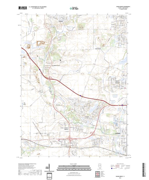 2024 Sugar Grove2024 Print · USGSSugar Grove and its Kane County neighbors are captured in this contemporary look at a growing Illinois community. Local historians can trace the development of Sugar Grove and Prestbury while locating family roots at Sugar Grove Cem and Lance-Saunders Family Cem.
 - 2024 Map of Elburn, 2024 Print
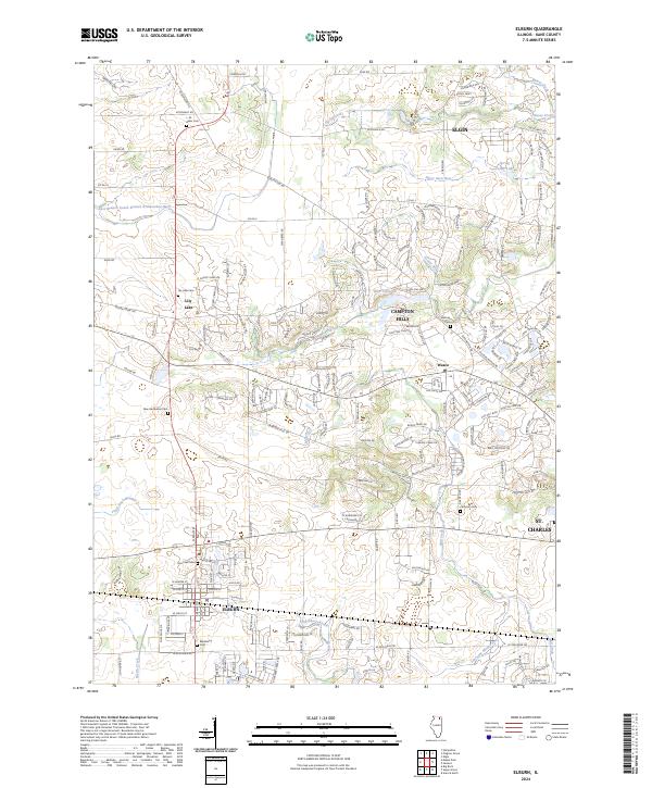 2024 Elburn2024 Print · USGSThe Illinois prairie meets modern growth in this Kane County survey of the Elburn and Campton Hills area. Genealogists can trace several local burial grounds, including Saint Gall Cem, Lily Lake Cem, and the Whitney Cem.
End of results
Showing maps 1-19 of 19
Top cities near Blackberry Township
- Aurora historical maps
- Naperville historical maps
- Elgin historical maps
- Wayne historical maps
- Hoffman Estates historical maps
- Bartlett historical maps
See more
Top neighborhoods of Blackberry Township
- Willow Creek historical maps
- La Fox historical maps
- Blackberry Acres historical maps
- Blackberry Woods historical maps
- Nottingham Woods historical maps
- Elburn historical maps
See more
Frequently asked questions
- What are the different types of historical maps available for Blackberry Township?
- What is the oldest map of Blackberry Township?
- Where can I purchase historical maps of Blackberry Township for my home or office?
- Where can I download high-res historical maps of Blackberry Township?
- Are there historical topographic maps available for Blackberry Township?
- Is there historical aerial imagery available for Blackberry Township?
- Where are historical maps of Blackberry Township sourced from?