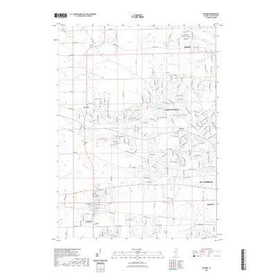
2021 Map of Elburn
USGS Topo · Published 2021About this map
Elburn and the developing suburbs of Campton Hills define this Kane County landscape during a period of significant residential expansion. The map details a complex network of residential roads like Sturbridge Way and Open Pkwy weaving through former farmland, yet it preserves a clear record of the area's rural foundations. Numerous family and community burial grounds, including the L. M. Baker Cem and Whitney Cem, remain as markers of the 19th-century pioneer era.
Find a feature on this map
164 named features on this map. Tap any name to fly to it.
Don’t see what you’re looking for? This feature index may not catch every label — zoom into the map to look around manually.
Map Details
Editions of this 2021 Elburn Map
This is the sole edition of this map. No revisions or reprints were ever made.
Other maps of this area

1925 · Elgin
USGS Topo · 1:62,500

1932 · Geneva
USGS Topo · 1:62,500

1937 · Sycamore
USGS Topo · 1:62,500

1938 · Genoa
USGS Topo · 1:62,500

1940 · Elgin
USGS Topo · 1:62,500

1948 · Geneva
USGS Topo · 1:62,500

1949 · Geneva
USGS Topo · 1:24,000

1950 · Aurora North
USGS Topo · 1:24,000

1954 · Rockford
USGS Topo · 1:250,000

1955 · Rockford
USGS Topo · 1:250,000