2000s (21st Century) Maps of Elgin Township, Illinois
Explore 20 historic maps of Elgin Township from the 2000s (21st Century). These maps offer a rare glimpse into what life looked like during the 2000s — showing old roads, neighborhoods, homes, and landmarks that have changed or disappeared over time.
Whether you're researching your family's past, planning a metal detecting trip, or studying how Elgin Township's landscape evolved across the 2000s, these high-resolution maps are a powerful tool for exploring the history of this region.
- Focus on a specific era: All maps on this page are from the 2000s, giving you a focused view of this time period.
- See what’s changed: Compare century-old streets, trails, and buildings to today's modern landscape using overlays and satellite layers.
- Research with precision: Use these maps for genealogy, historical research, land use analysis, or educational projects.
- View, download, or print: Maps are fully viewable online in high resolution, and can be downloaded or printed for your own records.
Start exploring Elgin Township's history through authentic maps from the 2000s. This is your window into the past.
Elgin Township, IL maps
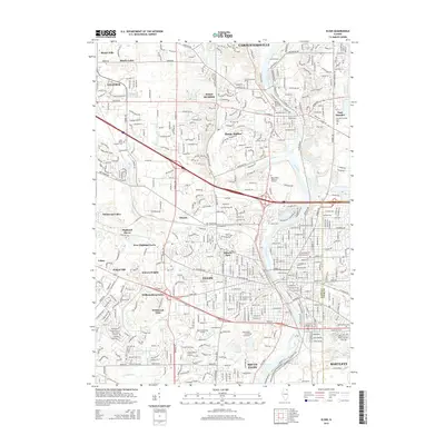
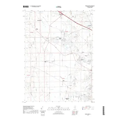
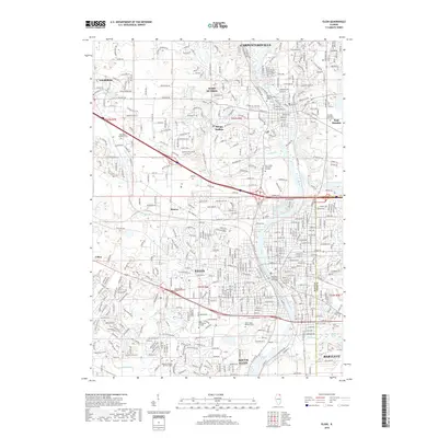
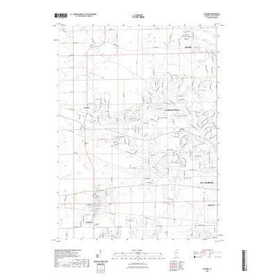
(20)- 2012 Map of Elgin, 2012 Print
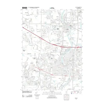 2012 Elgin2012 Print · USGSCovers Elgin Township, including Elgin, Bartlett, and other nearby areas
 - 2012 Map of Pingree Grove, 2012 Print
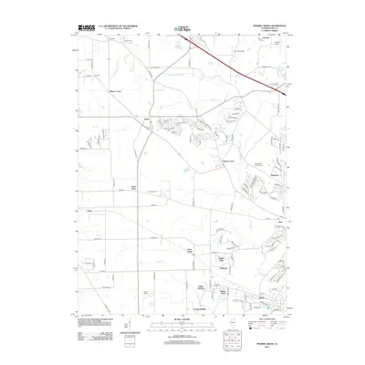 2012 Pingree Grove2012 Print · USGSCovers Elgin Township, including Elgin, Rutland Township, and other nearby areas
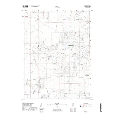
 - 2012 Map of Elburn, 2012 Print
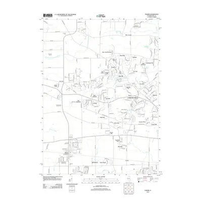 2012 Elburn2012 Print · USGSCovers Elgin Township, including Elgin, St. Charles, and other nearby areas
 - 2012 Map of Geneva, 2012 Print
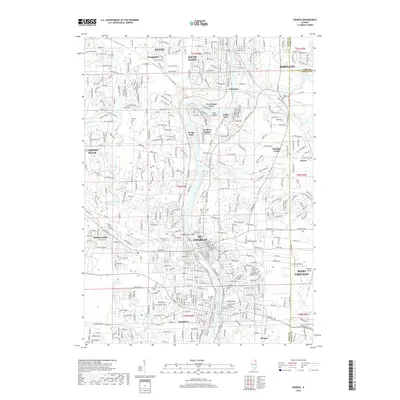
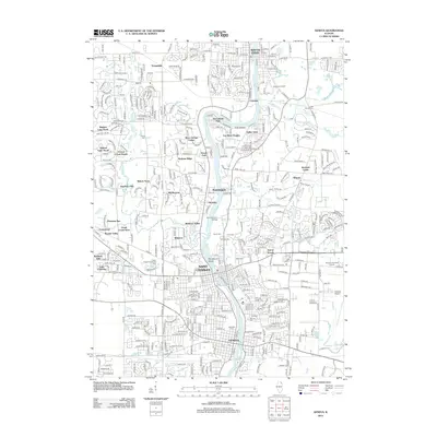 2012 Geneva2012 Print · USGSCovers Elgin Township, including Elgin, Wayne, and other nearby areas
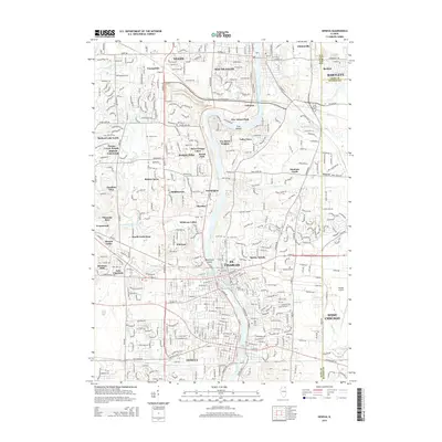
 - 2015 Map of Elgin, 2015 Print
 2015 Elgin2015 Print · USGSCovers Elgin Township, including Elgin, Bartlett, and other nearby areas
 - 2015 Map of Geneva, 2015 Print
 2015 Geneva2015 Print · USGSCovers Elgin Township, including Elgin, Wayne, and other nearby areas
 - 2015 Map of Pingree Grove, 2015 Print
 2015 Pingree Grove2015 Print · USGSCovers Elgin Township, including Elgin, Rutland Township, and other nearby areas
 - 2015 Map of Elburn, 2015 Print
 2015 Elburn2015 Print · USGSCovers Elgin Township, including Elgin, St. Charles, and other nearby areas
 - 2018 Map of Pingree Grove, 2018 Print
 2018 Pingree Grove2018 Print · USGSCovers Elgin Township, including Elgin, Rutland Township, and other nearby areas
 - 2018 Map of Elgin, 2018 Print
 2018 Elgin2018 Print · USGSCovers Elgin Township, including Elgin, Bartlett, and other nearby areas
 - 2018 Map of Elburn, 2018 Print
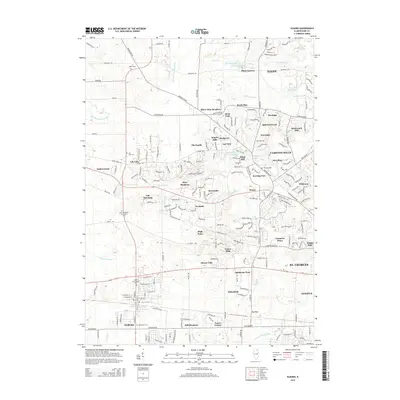
 2018 Elburn2018 Print · USGSCovers Elgin Township, including Elgin, St. Charles, and other nearby areas
 - 2018 Map of Geneva, 2018 Print
 2018 Geneva2018 Print · USGSCovers Elgin Township, including Elgin, Wayne, and other nearby areas
 - 2021 Map of Pingree Grove, 2021 Print
 2021 Pingree Grove2021 Print · USGSCovers Elgin Township, including Elgin, Rutland Township, and other nearby areas
 - 2021 Map of Elburn, 2021 Print
 2021 Elburn2021 Print · USGSCovers Elgin Township, including Elgin, St. Charles, and other nearby areas
 - 2021 Map of Geneva, 2021 Print
 2021 Geneva2021 Print · USGSCovers Elgin Township, including Elgin, Wayne, and other nearby areas
 - 2021 Map of Elgin, 2021 Print
 2021 Elgin2021 Print · USGSCovers Elgin Township, including Elgin, Bartlett, and other nearby areas
 - 2024 Map of Elgin, 2024 Print
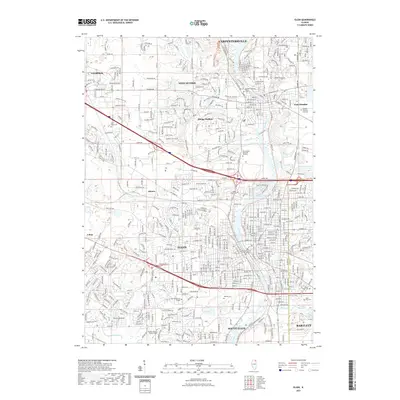
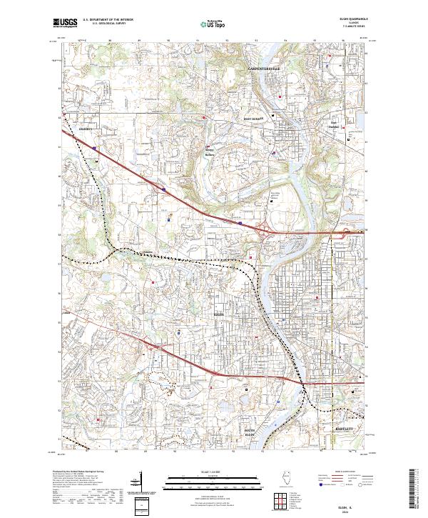 2024 Elgin2024 Print · USGSKane and Cook counties are mapped in detail during this era of suburban density and river-valley growth. Genealogists can locate several local burial grounds such as Bluff City Cem and Saint Marys Cem or trace the Metra rail corridor.
 - 2024 Map of Pingree Grove, 2024 Print
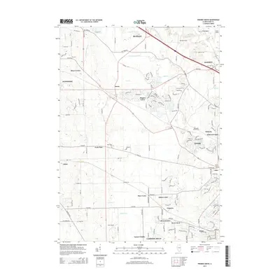
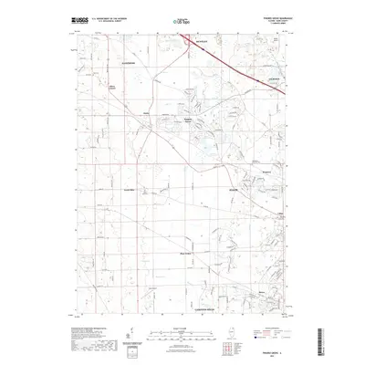
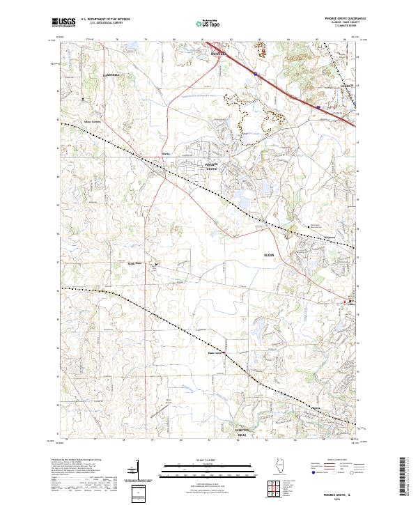 2024 Pingree Grove2024 Print · USGSKane County's evolving landscape is captured here in the mid-2020s, showcasing the expansion of Pingree Grove alongside longstanding rural communities. Researchers can locate family landmarks like Doty Cem, Olson Airport, and the historic crossroads of Plato Center.
 - 2024 Map of Geneva, 2024 Print
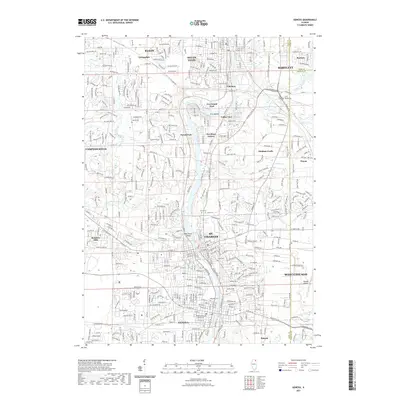
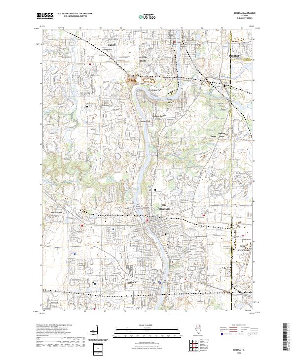 2024 Geneva2024 Print · USGSThe Fox River Valley in the twenty-first century reveals a dense network of suburban growth anchored by the historic riverfronts of Geneva and St. Charles. Researchers can trace local heritage through sites like Dunham Castle, the Kane County Courthouse, and numerous grounds including Oak Hill Cem.
 - 2024 Map of Elburn, 2024 Print
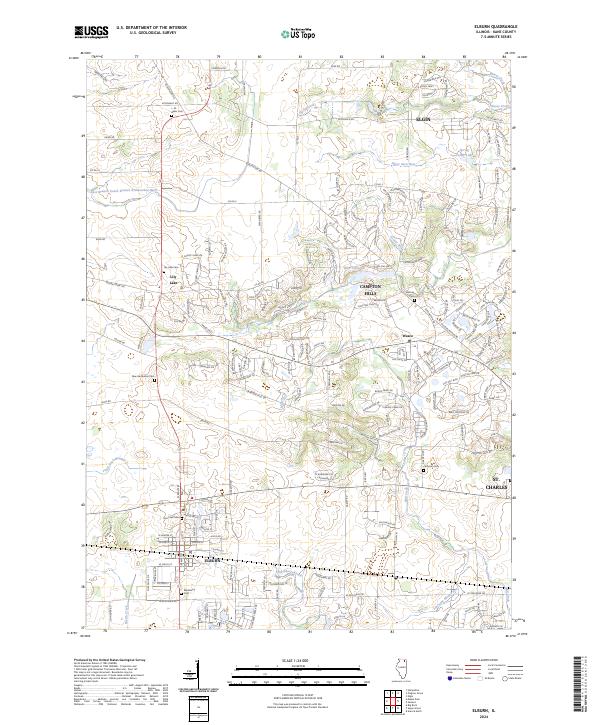 2024 Elburn2024 Print · USGSThe Illinois prairie meets modern growth in this Kane County survey of the Elburn and Campton Hills area. Genealogists can trace several local burial grounds, including Saint Gall Cem, Lily Lake Cem, and the Whitney Cem.
End of results
Showing maps 1-20 of 20
Top cities near Elgin Township
- Aurora historical maps
- Naperville historical maps
- Elgin historical maps
- Schaumburg historical maps
- Palatine historical maps
- Wayne historical maps
See more
Top neighborhoods of Elgin Township
- Udina historical maps
- Boulevard Villa historical maps
- Century Oaks West historical maps
- Clintonville historical maps
- College Green historical maps
- College Park historical maps
See more
Frequently asked questions
- What are the different types of historical maps available for Elgin Township?
- What is the oldest map of Elgin Township?
- Where can I purchase historical maps of Elgin Township for my home or office?
- Where can I download high-res historical maps of Elgin Township?
- Are there historical topographic maps available for Elgin Township?
- Is there historical aerial imagery available for Elgin Township?
- Where are historical maps of Elgin Township sourced from?