2000s (21st Century) Maps of Knox County, Illinois
Explore 125 historic maps of Knox County from the 2000s (21st Century). These maps offer a rare glimpse into what life looked like during the 2000s — showing old roads, neighborhoods, homes, and landmarks that have changed or disappeared over time.
Whether you're researching your family's past, planning a metal detecting trip, or studying how Knox County's landscape evolved across the 2000s, these high-resolution maps are a powerful tool for exploring the history of this region.
- Focus on a specific era: All maps on this page are from the 2000s, giving you a focused view of this time period.
- See what’s changed: Compare century-old streets, trails, and buildings to today's modern landscape using overlays and satellite layers.
- Research with precision: Use these maps for genealogy, historical research, land use analysis, or educational projects.
- View, download, or print: Maps are fully viewable online in high resolution, and can be downloaded or printed for your own records.
Start exploring Knox County's history through authentic maps from the 2000s. This is your window into the past.
Knox County, IL maps
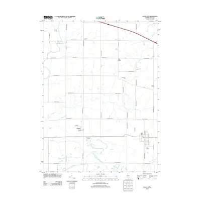
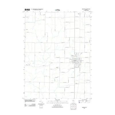
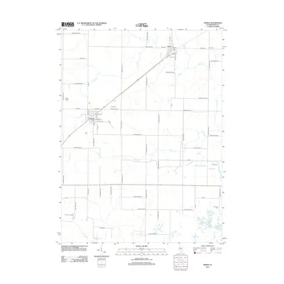
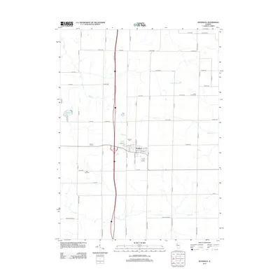
(125)- 2012 Map of Galesburg West, 2012 Print
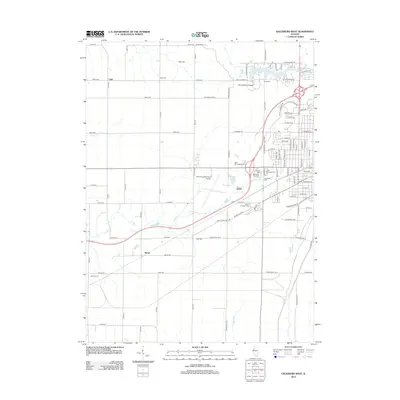 2012 Galesburg West2012 Print · USGSCovers Knox County, including Galesburg, Surrey, and other nearby areas
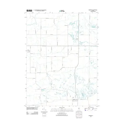
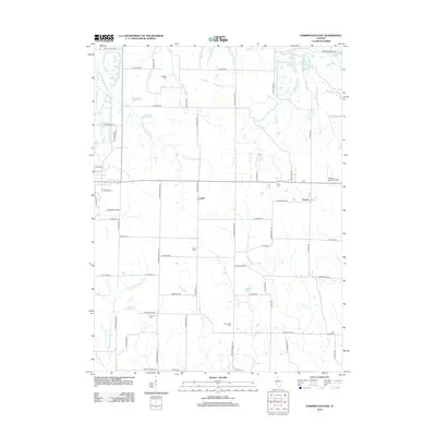
 - 2012 Map of Farmington West, 2012 Print
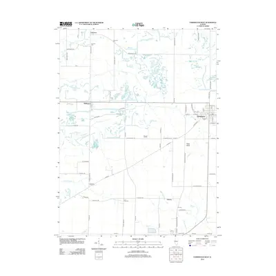 2012 Farmington West2012 Print · USGSCovers Knox County, including Farmington, Norris, and other nearby areas
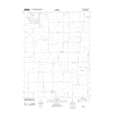
 - 2012 Map of Galesburg East, 2012 Print
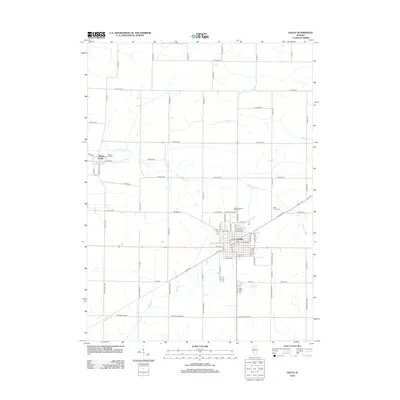
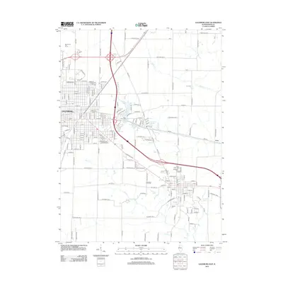 2012 Galesburg East2012 Print · USGSCovers Knox County, including Galesburg, Knoxville, and other nearby areas
 - 2012 Map of London Mills, 2012 Print
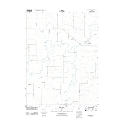 2012 London Mills2012 Print · USGSCovers Knox County, including Ellisville, London Mills, and other nearby areas
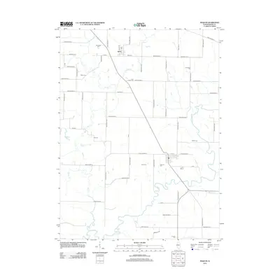
 - 2012 Map of Yates City, 2012 Print
 2012 Yates City2012 Print · USGSCovers Knox County, including Yates City, Elba Center, and other nearby areas
 - 2012 Map of Fairview, 2012 Print
 2012 Fairview2012 Print · USGSCovers Knox County, including Fairview, Rapatee, and other nearby areas
 - 2012 Map of DeLong, 2012 Print
 2012 DeLong2012 Print · USGSCovers Knox County, including Lake Bracken, DeLong, and other nearby areas
 - 2012 Map of Maquon, 2012 Print
 2012 Maquon2012 Print · USGSCovers Knox County, including Maquon, Gilson, and other nearby areas
 - 2012 Map of Williamsfield, 2012 Print
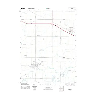
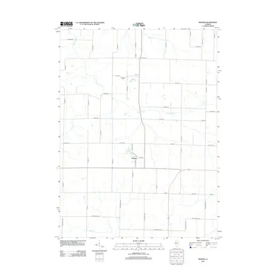
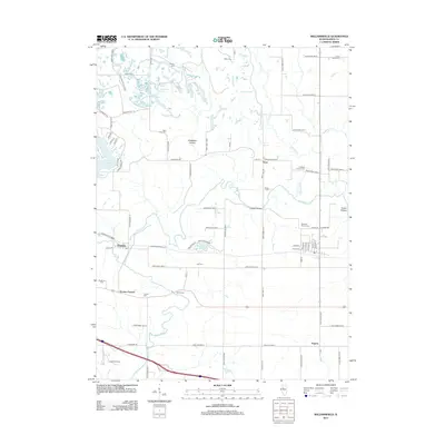 2012 Williamsfield2012 Print · USGSCovers Knox County, including Williamsfield, Dahinda, and other nearby areas
 - 2012 Map of Elmwood, 2012 Print
 2012 Elmwood2012 Print · USGSCovers Knox County, including Elmwood, Brimfield, and other nearby areas
 - 2012 Map of Laura, 2012 Print
 2012 Laura2012 Print · USGSCovers Knox County, including Elmore, Laura, and other nearby areas
 - 2012 Map of Appleton, 2012 Print
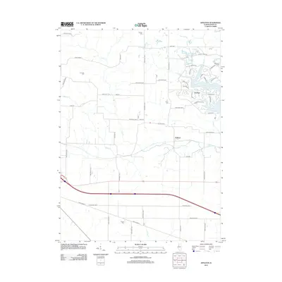 2012 Appleton2012 Print · USGSCovers Knox County, including Oak Run, Appleton, and other nearby areas
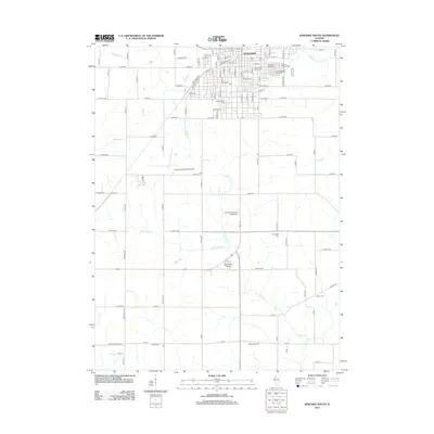
 - 2012 Map of Abingdon, 2012 Print
 2012 Abingdon2012 Print · USGSCovers Knox County, including Abingdon, Warren County, and other nearby areas
 - 2012 Map of Avon, 2012 Print
 2012 Avon2012 Print · USGSCovers Knox County, including Avon, Prairie City, and other nearby areas
 - 2012 Map of Kewanee South, 2012 Print
 2012 Kewanee South2012 Print · USGSCovers Knox County, including Kewanee, Henry County, and other nearby areas
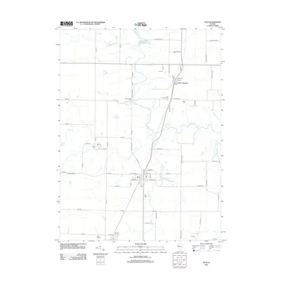
 - 2012 Map of Lafayette, 2012 Print
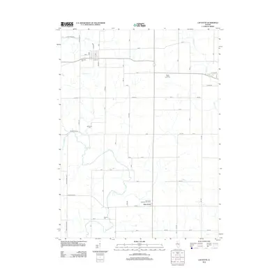 2012 Lafayette2012 Print · USGSCovers Knox County, including Toulon, West Jersey, and other nearby areas
 - 2012 Map of Oneida, 2012 Print
 2012 Oneida2012 Print · USGSCovers Knox County, including Oneida, Altona, and other nearby areas
 - 2012 Map of New Windsor, 2012 Print
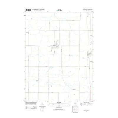 2012 New Windsor2012 Print · USGSCovers Knox County, including Alpha, Griffin, and other nearby areas
 - 2012 Map of Nekoma, 2012 Print
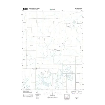
 2012 Nekoma2012 Print · USGSCovers Knox County, including Nekoma, Henry County, and other nearby areas
 - 2012 Map of Galva, 2012 Print
 2012 Galva2012 Print · USGSCovers Knox County, including Galva, Bishop Hill, and other nearby areas
 - 2012 Map of Woodhull, 2012 Print
 2012 Woodhull2012 Print · USGSCovers Knox County, including Woodhull, Henry County, and other nearby areas
 - 2012 Map of North Henderson, 2012 Print
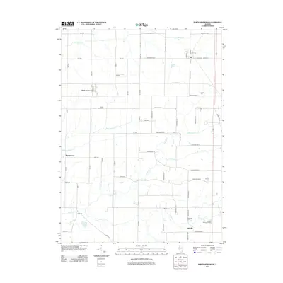 2012 North Henderson2012 Print · USGSCovers Knox County, including Rio, North Henderson, and other nearby areas
 - 2012 Map of Victoria, 2012 Print
 2012 Victoria2012 Print · USGSCovers Knox County, including Victoria, Centerville, and other nearby areas
 - 2012 Map of Wataga, 2012 Print
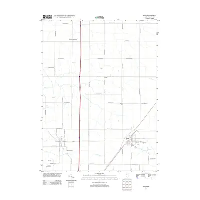 2012 Wataga2012 Print · USGSCovers Knox County, including Ontario, Wataga, and other nearby areas
 - 2012 Map of Farmington East, 2012 Print
 2012 Farmington East2012 Print · USGSCovers Knox County, including Farmington, Trivoli, and other nearby areas
Showing maps 1-25 of 125
Top cities of Knox County
- Galesburg historical maps
- Abingdon historical maps
- Knoxville historical maps
- Ontario historical maps
- Wataga historical maps
- East Galesburg historical maps
See more
Frequently asked questions
- What are the different types of historical maps available for Knox County?
- What is the oldest map of Knox County?
- Where can I purchase historical maps of Knox County for my home or office?
- Where can I download high-res historical maps of Knox County?
- Are there historical topographic maps available for Knox County?
- Is there historical aerial imagery available for Knox County?
- Where are historical maps of Knox County sourced from?