Old Maps of Pontiac, Pontiac Township for Metal Detecting
Plan your next treasure hunt with 35 historic maps of Pontiac. Find old homesites, ghost towns, trails, and gathering spots that may be lost to time — perfect for identifying promising metal detecting locations.
- Locate forgotten sites: Uncover places like long-lost settlements, abandoned rail lines, or gathering spots.
- Plan better hunts: Use map overlays combined with LiDAR or satellite views to narrow in on historically rich areas.
- Made for detectorists: Thousands of hobbyists use these maps to discover relics, coins, and hidden history.
Use these historic maps to boost your research and find new opportunities beneath the surface of Pontiac.
Pontiac, Pontiac Township maps
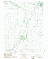
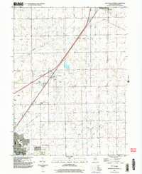
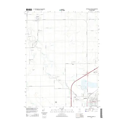
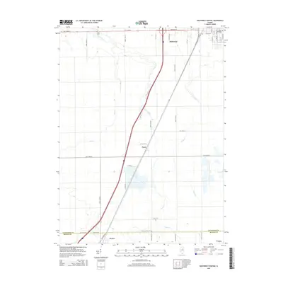
(35)- 1935 Map of Pontiac, 1968 Print
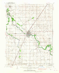 1935 Pontiac1968 Print · USGSLivingston County in the mid-1930s is a landscape of thriving rail-side towns and small agricultural townships. Researchers can trace the lineage of early rural education and community at State Reformatory, Eppards Point Ch, and Bunnard Cem.2 unique versions available
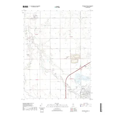
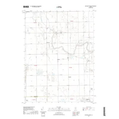
 - 1939 Map of Pontiac
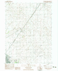
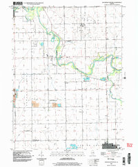
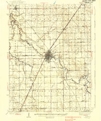 1939 Pontiac1939 Print · USGSLivingston County in the late 1930s reveals a landscape of productive prairie farmland and vital rail junctions centered on Pontiac. Researchers can trace the heritage of rural communities through dozens of country schoolhouses like Edgewood Sch and the grounds of the State Retormatory.2 unique versions available
 - 1958 Map of Peoria, 1969 Print
 1958 Peoria1969 Print · USGSCentral Illinois thrived as a hub of education and transport during the late sixties, as the new interstate system began to reshape the prairie. Genealogists and historians can trace local landmarks like Springdale Cem, Bradley University, and the sprawling grounds of Chanute AFB.4 unique versions available
 - 1961 Map of Peoria
 1961 Peoria1961 Print · USGSCentral Illinois thrived at the intersection of river trade and rail power during the late fifties. Genealogists and local historians can trace the rail networks of the Illinois Central and Wabash, alongside landmarks like Chanute AFB and Weldon Springs State Park.
 - 1963 Map of Peoria
 1963 Peoria1963 Print · USGSCentral Illinois thrived as a rail and highway crossroads during the early sixties, centered on the bustling Illinois River valley. Genealogists and historians can trace the mid-century layout of Peoria, locate the grounds of Chanute Air Force Base, and follow historic lines like the Toledo Peoria and Western Railway.
 - 1983 Map of Southeast Pontiac
 1983 Southeast Pontiac1983 Print · USGSLivingston County's agricultural heartland is documented here in the early eighties, showcasing a landscape of river-bend settlements and prairie townships. Local researchers can locate family-named cemeteries like Houder Cem and Patty Cem or trace rural aviation history at Ziller Landing Strip.
 - 1983 Map of Northwest Pontiac
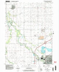
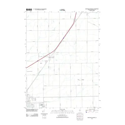
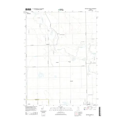
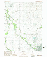 1983 Northwest Pontiac1983 Print · USGSNorthwest of the Livingston county seat in the early eighties, the prairie landscape is defined by the winding Vermilion River. Researchers can trace the Illinois Central Gulf rail line through Pontiac or locate rural landmarks like Zooks Cem and Esmen Ch.
 - 1983 Map of Southwest Pontiac
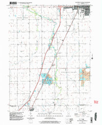
 1983 Southwest Pontiac1983 Print · USGSLivingston County in the early eighties shows a landscape shaped by rail, aviation, and institutional history. Researchers can trace the grounds of the State Correctional Center or locate smaller sites like Ocoya and Payne Cem.
 - 1983 Map of Northeast Pontiac
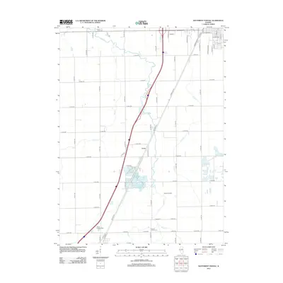
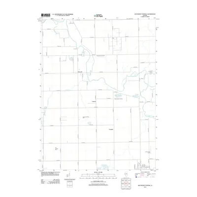
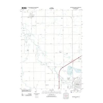
 1983 Northeast Pontiac1983 Print · USGSLivingston County grain-farming country is shown here in the early eighties as the rail-and-road corridor between Pontiac and Odell remained vital. Researchers can locate vanished rural landmarks like the Owego Sch, the Schott Landing Strip, and the crossroads at Swygert.
 - 1985 Map of Fairbury
 1985 Fairbury1985 Print · USGSCentral Illinois in the mid-1980s reveals a landscape shaped by the Illinois Central Gulf rail network and the Vermilion River basin. Trace the roots of local communities from Fairbury to Pontiac, and locate landmarks like the State Correctional Center and High Chapel.2 unique versions available
 - 1990 Map of Peoria
 1990 Peoria1990 Print · USGSCentral Illinois at the start of the nineties reveals a landscape of industrial river towns and sprawling university campuses. Researchers can trace the legacy of major institutions like Chanute Air Force Base and the University of Illinois alongside regional landmarks such as Sand Ridge State Forest.
 - 1998 Map of Southwest Pontiac, 2003 Print
 1998 Southwest Pontiac2003 Print · USGSThe rural landscape between Pontiac and Chenoa is captured at the end of the century as the region balanced farming with industrial growth. Local researchers can trace family landmarks like Rooks Creek Cem or the extractive operations at the Ocoya quarries.
 - 1998 Map of Northwest Pontiac, 2003 Print
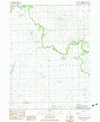
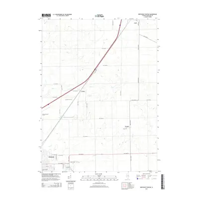
 1998 Northwest Pontiac2003 Print · USGSIn the late nineties, the rural landscape near Pontiac was defined by the winding Vermilion River and a network of prairie townships. Researchers can trace family history through numerous burial sites like Zooks Cem and McMillan Cem, or locate landmarks such as Cornell and the Fairground.
 - 2001 Map of Northeast Pontiac, 2003 Print
 2001 Northeast Pontiac2003 Print · USGSLivingston County's agricultural heartland is documented here at the opening of the twenty-first century, showing the rural landscape around Pontiac. Researchers can trace old transportation routes and local landmarks like the OLD RAILROAD GRADE, Owego Sch, and Cayuga.
 - 2001 Map of Southeast Pontiac, 2003 Print
 2001 Southeast Pontiac2003 Print · USGSLivingston County's agricultural heartland is documented here at the turn of the millennium, showing the rural grid south of Pontiac. Genealogists and historians can trace family landmarks like Houder Cem or locate private runways such as Riverode Farms Landing Strip and Lodemia.
 - 2012 Map of Southwest Pontiac, 2012 Print
 2012 Southwest Pontiac2012 Print · USGSCovers Pontiac, including Chenoa, Ocoya, and other nearby areas
 - 2012 Map of Southeast Pontiac, 2012 Print
 2012 Southeast Pontiac2012 Print · USGSCovers Pontiac, including Fairbury, McDowell, and other nearby areas
 - 2012 Map of Northwest Pontiac, 2012 Print
 2012 Northwest Pontiac2012 Print · USGSCovers Pontiac, including Cornell, Rooks Creek Township, and other nearby areas
 - 2012 Map of Northeast Pontiac, 2012 Print
 2012 Northeast Pontiac2012 Print · USGSCovers Pontiac, including Odell, Swygert, and other nearby areas
 - 2015 Map of Northeast Pontiac, 2015 Print
 2015 Northeast Pontiac2015 Print · USGSCovers Pontiac, including Odell, Swygert, and other nearby areas
 - 2015 Map of Southeast Pontiac, 2015 Print
 2015 Southeast Pontiac2015 Print · USGSCovers Pontiac, including Fairbury, McDowell, and other nearby areas
 - 2015 Map of Northwest Pontiac, 2015 Print
 2015 Northwest Pontiac2015 Print · USGSCovers Pontiac, including Cornell, Rooks Creek Township, and other nearby areas
 - 2015 Map of Southwest Pontiac, 2015 Print
 2015 Southwest Pontiac2015 Print · USGSCovers Pontiac, including Chenoa, Ocoya, and other nearby areas
 - 2018 Map of Northwest Pontiac, 2018 Print
 2018 Northwest Pontiac2018 Print · USGSCovers Pontiac, including Cornell, Rooks Creek Township, and other nearby areas
 - 2018 Map of Southeast Pontiac, 2018 Print
 2018 Southeast Pontiac2018 Print · USGSCovers Pontiac, including Fairbury, McDowell, and other nearby areas
Showing maps 1-25 of 35
Top cities near Pontiac
- Streator historical maps
- Dwight historical maps
- Fairbury historical maps
- Chenoa historical maps
- Gridley historical maps
- Nevada historical maps
See more
Top neighborhoods of Pontiac
- Brookside Subdivision historical maps
- Deer Creek Estates historical maps
- Illini Subdivision historical maps
Frequently asked questions
- What are the different types of historical maps available for Pontiac?
- What is the oldest map of Pontiac?
- Where can I purchase historical maps of Pontiac for my home or office?
- Where can I download high-res historical maps of Pontiac?
- Are there historical topographic maps available for Pontiac?
- Is there historical aerial imagery available for Pontiac?
- Where are historical maps of Pontiac sourced from?