Old Maps of Reader, Illinois for Hiking & Exploration
Hike through history with 10 historic maps of Reader. Explore old trails, ghost towns, and forgotten backroads — perfect for outdoor adventurers and local explorers.
- Rediscover forgotten places: Map out old mining camps, roads, and footpaths that no longer exist on modern maps.
- Layer with modern tools: Combine with LiDAR or satellite views to plan hikes through historical terrain.
- Made for exploration: Popular among hikers, overlanders, and local history lovers.
Use these maps to find adventure and explore the hidden past of Reader.
Reader, IL maps
(10)- 1932 Map of Greenfield
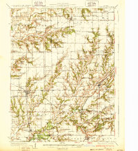 1932 Greenfield1932 Print · USGSGreene and Macoupin counties thrive as a rail-centered agricultural heartland during the early thirties. Genealogists can trace family homesteads near numerous rural schools like Oak Hill Sch and Landreth Sch, or churches such as Mt Moriah Ch.3 unique versions available
 - 1948 Map of Quincy
 1948 Quincy1948 Print · USGSThe Mississippi and Illinois River valleys are captured at a post-war crossroads as rail and river travel met the expanding highway system. Genealogists can trace family settlements from Quincy to Hannibal and smaller towns like Vandalia and Jerseyville.2 unique versions available
 - 1956 Map of Quincy, 1967 Print
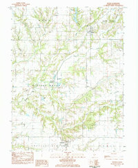
 1956 Quincy1967 Print · USGSThe river and rail corridors of the Illinois-Missouri border are documented here during the mid-1950s. Researchers can trace historic river landings and regional transit hubs from Quincy and Hannibal to smaller settlements like Meredosia and Roodhouse.3 unique versions available
 - 1983 Map of Hettick, 1984 Print
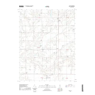
 1983 Hettick1984 Print · USGSMacoupin County in the early 1980s retains its deep rural roots and traditional township structures. Genealogists and local historians can trace family ties through numerous small burial sites like St Catherine Cem or Upton Cem and the settlement at Hettick.
 - 1985 Map of Jerseyville
 1985 Jerseyville1985 Print · USGSThe confluence of the Illinois and Mississippi rivers defines this 1980s landscape of fertile bottomlands and rail-hub towns. Genealogists and historians can trace the foundations of communities like Jerseyville and White Hall alongside the Oak Grove Cem and St Mary Church.2 unique versions available
 - 2012 Map of Hettick, 2012 Print
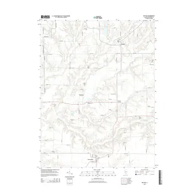
 2012 Hettick2012 Print · USGSCovers Reader, including Chesterfield, Hettick, and other nearby areas
 - 2015 Map of Hettick, 2015 Print
 2015 Hettick2015 Print · USGSCovers Reader, including Chesterfield, Hettick, and other nearby areas
 - 2018 Map of Hettick, 2018 Print
 2018 Hettick2018 Print · USGSCovers Reader, including Chesterfield, Hettick, and other nearby areas
 - 2021 Map of Hettick, 2021 Print
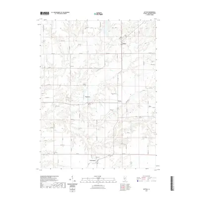 2021 Hettick2021 Print · USGSCovers Reader, including Chesterfield, Hettick, and other nearby areas
 - 2024 Map of Hettick, 2024 Print
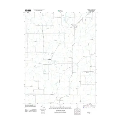
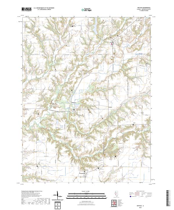 2024 Hettick2024 Print · USGSMacoupin County, Illinois, is captured here in its modern agricultural character, preserving the footprints of historic rural hamlets. Local researchers can trace family roots through the Upton Family Cem, find the Jacobie School, or explore the drainages of Otter Creek.
End of results
Showing maps 1-10 of 10
Top cities near Reader
- Carlinville historical maps
- Gillespie historical maps
- Greenfield historical maps
- Palmyra historical maps
- Shipman historical maps
- Medora historical maps
See more
Frequently asked questions
- What are the different types of historical maps available for Reader?
- What is the oldest map of Reader?
- Where can I purchase historical maps of Reader for my home or office?
- Where can I download high-res historical maps of Reader?
- Are there historical topographic maps available for Reader?
- Is there historical aerial imagery available for Reader?
- Where are historical maps of Reader sourced from?