2020s Maps of Gridley, Illinois
Explore 8 historic maps of Gridley from the 2020s. These maps offer a rare glimpse into what life looked like during the 2020s — showing old roads, neighborhoods, homes, and landmarks that have changed or disappeared over time.
Whether you're researching your family's past, planning a metal detecting trip, or studying how Gridley's landscape evolved across the 2020s, these high-resolution maps are a powerful tool for exploring the history of this region.
- Focus on a specific era: All maps on this page are from the 2020s, giving you a focused view of this time period.
- See what’s changed: Compare century-old streets, trails, and buildings to today's modern landscape using overlays and satellite layers.
- Research with precision: Use these maps for genealogy, historical research, land use analysis, or educational projects.
- View, download, or print: Maps are fully viewable online in high resolution, and can be downloaded or printed for your own records.
Start exploring Gridley's history through authentic maps from the 2020s. This is your window into the past.
Gridley, IL maps
(8)- 2021 Map of Flanagan South, 2021 Print
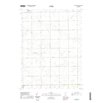 2021 Flanagan South2021 Print · USGSCovers Gridley, including Flanagan, Waldo, and other nearby areas
 - 2021 Map of Lexington, 2021 Print
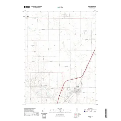 2021 Lexington2021 Print · USGSCovers Gridley, including Lexington, Chenoa, and other nearby areas
 - 2021 Map of Gridley, 2021 Print
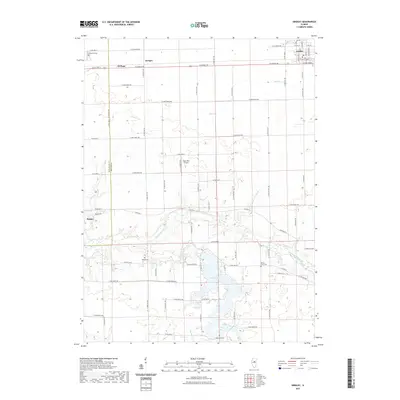 2021 Gridley2021 Print · USGSCovers Gridley, including El Paso, Kappa, and other nearby areas
 - 2021 Map of Flanagan SW, 2021 Print
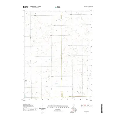 2021 Flanagan SW2021 Print · USGSCovers Gridley, including McLean County, Woodford County, and other nearby areas
 - 2024 Map of Flanagan SW, 2024 Print
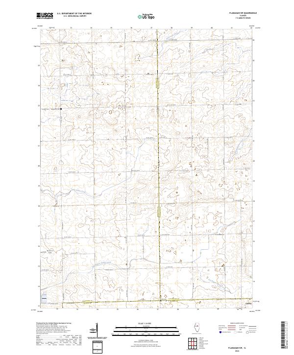 2024 Flanagan SW2024 Print · USGSWoodford, Livingston, and McLean counties converge in this detailed modern prairie survey. Genealogists and local historians can trace family locations near the Baughman Cem, locate the village of Gridley, and identify land parcels along East Branch Panther Creek.
 - 2024 Map of Flanagan South, 2024 Print
 2024 Flanagan South2024 Print · USGSThe rural landscapes of Livingston County are captured here in the contemporary era as they straddle the McLean County line. Genealogists can locate several ancestral burial grounds including Waldo Cem, Pike Cem, and Saint Josephs Cem near Flanagan.
 - 2024 Map of Lexington, 2024 Print
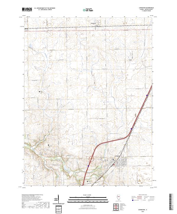 2024 Lexington2024 Print · USGSThe Lexington area in recent years remains a quintessential Illinois prairie landscape defined by the Mackinaw River and historic road networks. Genealogists and local historians can trace family burial sites at Hibbs Bigger Cem, Scrogin Cem, and the rural Clarksville Cem.
 - 2024 Map of Gridley, 2024 Print
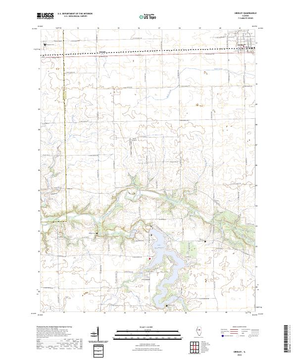 2024 Gridley2024 Print · USGSCentral Illinois prairie and river valleys define this area during the early 2020s. Genealogists and local historians can trace rural roots at Evergreen Cem, Messer Cem, and the shores of Lake Bloomington.
End of results
Showing maps 1-8 of 8
Top cities near Gridley
- Normal historical maps
- Pontiac historical maps
- El Paso historical maps
- Minonk historical maps
- Lexington historical maps
- Chenoa historical maps
See more
Frequently asked questions
- What are the different types of historical maps available for Gridley?
- What is the oldest map of Gridley?
- Where can I purchase historical maps of Gridley for my home or office?
- Where can I download high-res historical maps of Gridley?
- Are there historical topographic maps available for Gridley?
- Is there historical aerial imagery available for Gridley?
- Where are historical maps of Gridley sourced from?