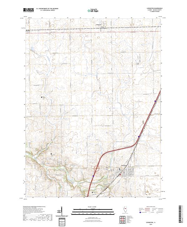
2024 Map of Lexington
USGS Topo · Published 2024About this map
The Lexington area of McLean County is defined by its deep agricultural grid and the meandering path of the Mackinaw River across the southwestern corner of the quadrangle. The settlement of Meadow sits near the northern boundary, while Lexington dominates the south-central landscape, bounded by the modern interstate and historic routes like Old 66. The mapping of local cemeteries, including the Hibbs Bigger Cem and Clarksville Cem, offers a detailed record for genealogical research, identifying specific family-named burial sites across the township lines. The terrain is further shaped by the drainage patterns of Buck Creek and Turkey Creek, which cut through the level prairie. Notable landmarks like Thacker Airport and various rural roads such as Clarksville Rd and N 2180 East Rd illustrate the persistent importance of transportation in this central Illinois farming corridor.
Find a feature on this map
63 named features on this map. Tap any name to fly to it.
Don’t see what you’re looking for? This feature index may not catch every label — zoom into the map to look around manually.
Map Details
Editions of this 2024 Lexington Map
This is the sole edition of this map. No revisions or reprints were ever made.
Other maps of this area

1926 · Normal
USGS Topo · 1:62,500

1930 · Normal
USGS Topo · 1:62,500

1935 · Pontiac
USGS Topo · 1:62,500

1939 · Pontiac
USGS Topo · 1:62,500

1957 · Colfax
USGS Topo · 1:62,500

1958 · Flanagan
USGS Topo · 1:62,500

1958 · Peoria
USGS Topo · 1:250,000

1961 · Peoria
USGS Topo · 1:250,000

1963 · Peoria
USGS Topo · 1:250,000

1981 · Lexington
USGS Topo · 1:24,000