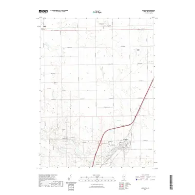
2021 Map of Lexington
USGS Topo · Published 2021About this map
The Mackinaw River flows through the southern portion of this landscape, carving a winding path beneath the town of Lexington. This McLean County corridor is defined by its transition from the structured agricultural grid to the riparian breaks along Turkey Cr and the river. The presence of several smaller burial grounds, including the Scrogin Cem and Dawson Cem, suggests deep-rooted family ties across this prairie landscape.
Find a feature on this map
75 named features on this map. Tap any name to fly to it.
Don’t see what you’re looking for? This feature index may not catch every label — zoom into the map to look around manually.
Map Details
Editions of this 2021 Lexington Map
This is the sole edition of this map. No revisions or reprints were ever made.
Other maps of this area

1926 · Normal
USGS Topo · 1:62,500

1930 · Normal
USGS Topo · 1:62,500

1935 · Pontiac
USGS Topo · 1:62,500

1939 · Pontiac
USGS Topo · 1:62,500

1957 · Colfax
USGS Topo · 1:62,500

1958 · Flanagan
USGS Topo · 1:62,500

1958 · Peoria
USGS Topo · 1:250,000

1961 · Peoria
USGS Topo · 1:250,000

1963 · Peoria
USGS Topo · 1:250,000

1981 · Lexington
USGS Topo · 1:24,000