Old Maps of Aledo, Illinois for Hiking & Exploration
Hike through history with 23 historic maps of Aledo. Explore old trails, ghost towns, and forgotten backroads — perfect for outdoor adventurers and local explorers.
- Rediscover forgotten places: Map out old mining camps, roads, and footpaths that no longer exist on modern maps.
- Layer with modern tools: Combine with LiDAR or satellite views to plan hikes through historical terrain.
- Made for exploration: Popular among hikers, overlanders, and local history lovers.
Use these maps to find adventure and explore the hidden past of Aledo.
Aledo, IL maps
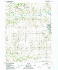
(23)- 1923 Map of Alexis
 1923 Alexis1923 Print · USGSNorthwestern Illinois at the height of the steam-rail era shows a countryside dotted with local schools and coal-hauling branch lines. Genealogists and historians can trace family ties to Ohio Grove Church, Mann Cemetery, or vanished stops like Shale City.2 unique versions available
 - 1925 Map of Alexis
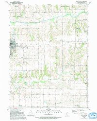
 1925 Alexis1925 Print · USGSThe Illinois prairie of the 1920s is preserved here through a remarkably detailed network of rural schoolhouses and railroad stops. Trace the paths of the Rock Island Southern through Shale City or locate family roots at Ohio Grove Church and Mann Cemetery.
 - 1935 Map of Keithsburg
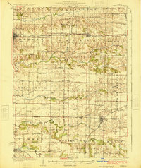
 1935 Keithsburg1935 Print · USGSMercer County during the mid-thirties reveals a landscape of river towns and railroad junctions along the Mississippi. Genealogists and local historians can trace rural roots at Peniel Ch, Brick Cem, and numerous schoolhouses like Hazel Dell Sch.4 unique versions available
 - 1941 Map of Keithsburg
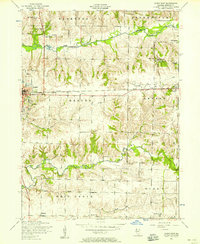
 1941 Keithsburg1941 Print · USGSThe Mississippi River front in Mercer County thrived during the early 1940s as a hub of rail and river commerce. Genealogists can trace family footprints through dozens of rural landmarks, from Peniel Ch to schoolhouses like Prouty Sch and Lee Sch.2 unique versions available
 - 1953 Map of Aledo East, 1958 Print
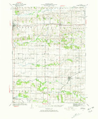
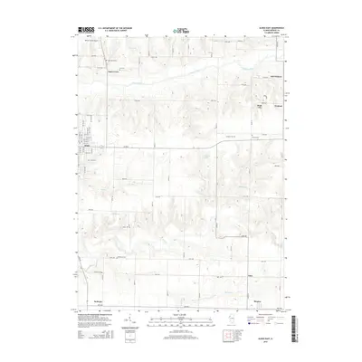
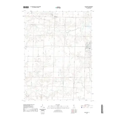
 1953 Aledo East1958 Print · USGSMercer County's rural townships are captured here in the early 1950s, showing a landscape defined by small rail towns and country crossroads. Genealogists can trace family names through sites like Motherred Cemetery, Shale City, and the Mercer County Nursing Home.2 unique versions available
 - 1953 Map of Aledo West, 1958 Print
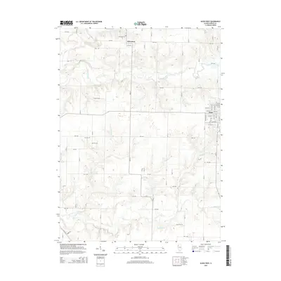
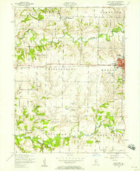 1953 Aledo West1958 Print · USGSMercer County farmland in the early fifties shows a landscape of busy rural townships and established schools. Researchers can locate the Roosevelt Military Academy in Aledo or trace family sites like Griffith Cemetery and Peniel Church.2 unique versions available
 - 1958 Map of Davenport, 1968 Print
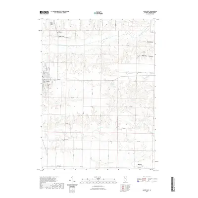
 1958 Davenport1968 Print · USGSEastern Iowa and western Illinois thrive along the river during the late fifties, defined by the industrial Quad Cities and a robust rail network. Genealogists can trace family roots through settlements like Oasis and Stanwood or along the Cedar River.2 unique versions available
 - 1961 Map of Davenport
 1961 Davenport1961 Print · USGSThe Quad Cities and the eastern Iowa riverlands are captured here in the early sixties, showing the region's transition into a modern industrial and transit hub. Genealogists and historians can trace the paths of major railroads and find river landmarks like Rock Island Arsenal, Huron Island, and the Coralville Reservoir.
 - 1962 Map of Davenport
 1962 Davenport1962 Print · USGSThe Quad Cities and the Mississippi River corridor are shown at their industrial peak just before the interstate era fully transformed the region. Researchers can trace the sprawling rail networks of the Chicago Rock Island and Pacific and find landmarks like the Rock Island Arsenal and Wild Cat Den State Park.
 - 1984 Map of Aledo, 1985 Print
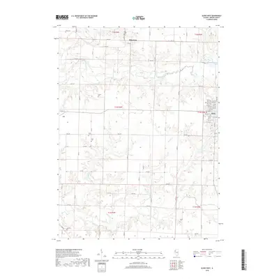
 1984 Aledo1985 Print · USGSThe Mississippi River borderlands and Illinois heartland are captured here in the mid-eighties as industry and agriculture overlap. Trace the Hennepin Canal, the historic Swedish colony at Bishop Hill, and the rail corridors of the Burlington Northern.
 - 1989 Map of Aledo
 1989 Aledo1989 Print · USGSWestern Illinois and eastern Iowa are shown here during the late twentieth century, when the river-and-rail economy still defined the Quad Cities and the surrounding prairie. Researchers can trace historic settlements like Bishop Hill and Millersburg alongside active routes like the Chicago Rock Island & Pacific RR.
 - 1992 Map of Aledo West
 1992 Aledo West1992 Print · USGSMercer County at the close of the twentieth century shows a landscape of steady agricultural roots and transitioning infrastructure. Genealogists and local historians can pinpoint Oak Ridge Cem, the western edge of Aledo, and the Old Railroad Grade as it appeared before further development.
 - 1992 Map of Aledo East
 1992 Aledo East1992 Print · USGSMercer County at the start of the nineties shows the eastern expansion of Aledo and the quiet reaches of the Edwards River valley. Trace family history through rural sites like McPherson Cem, Shale City, and the Old Railroad Grade.
 - 2012 Map of Aledo East, 2012 Print
 2012 Aledo East2012 Print · USGSCovers Aledo, including Sunbeam, Burgess, and other nearby areas
 - 2012 Map of Aledo West, 2012 Print
 2012 Aledo West2012 Print · USGSCovers Aledo, including Millersburg, Joy, and other nearby areas
 - 2015 Map of Aledo East, 2015 Print
 2015 Aledo East2015 Print · USGSCovers Aledo, including Sunbeam, Burgess, and other nearby areas
 - 2015 Map of Aledo West, 2015 Print
 2015 Aledo West2015 Print · USGSCovers Aledo, including Millersburg, Joy, and other nearby areas
 - 2018 Map of Aledo West, 2018 Print
 2018 Aledo West2018 Print · USGSCovers Aledo, including Millersburg, Joy, and other nearby areas
 - 2018 Map of Aledo East, 2018 Print
 2018 Aledo East2018 Print · USGSCovers Aledo, including Sunbeam, Burgess, and other nearby areas
 - 2021 Map of Aledo West, 2021 Print
 2021 Aledo West2021 Print · USGSCovers Aledo, including Millersburg, Joy, and other nearby areas
 - 2021 Map of Aledo East, 2021 Print
 2021 Aledo East2021 Print · USGSCovers Aledo, including Sunbeam, Burgess, and other nearby areas
 - 2024 Map of Aledo West, 2024 Print
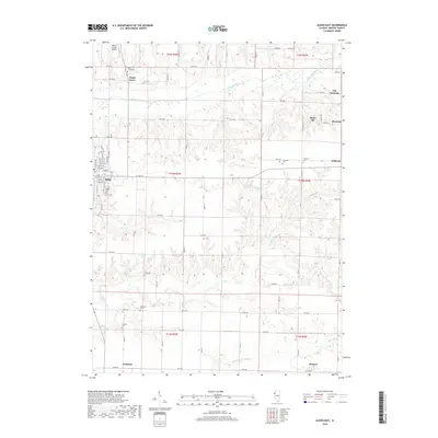
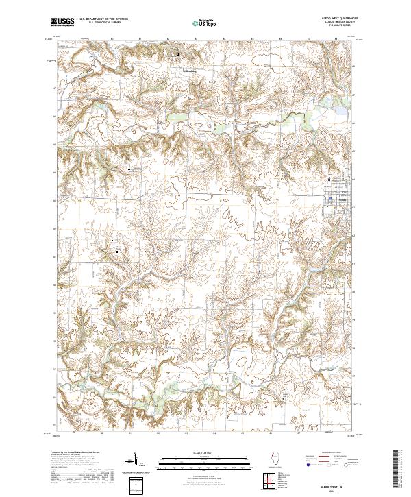 2024 Aledo West2024 Print · USGSMercer County's prairie landscapes and stream valleys are captured here in the contemporary era. Genealogists can locate rural burying grounds like Peniel Cem and Candor Cem while tracing the winding course of the Edwards River.
 - 2024 Map of Aledo East, 2024 Print
 2024 Aledo East2024 Print · USGSMercer County's agricultural heartland is documented here in the early twenty-first century, centered on the city of Aledo. Local researchers can locate several family burial sites like Graham Cem and Mcpheren Cem or trace the drainage of Dugout Run and Pike Run.
End of results
Showing maps 1-23 of 23
Top cities near Aledo
- Moline historical maps
- Rock Island historical maps
- Milan historical maps
- Preemption historical maps
- Edgington historical maps
- Buffalo Prairie historical maps
See more
Frequently asked questions
- What are the different types of historical maps available for Aledo?
- What is the oldest map of Aledo?
- Where can I purchase historical maps of Aledo for my home or office?
- Where can I download high-res historical maps of Aledo?
- Are there historical topographic maps available for Aledo?
- Is there historical aerial imagery available for Aledo?
- Where are historical maps of Aledo sourced from?