2000s (21st Century) Maps of Witt, Illinois
Explore 10 historic maps of Witt from the 2000s (21st Century). These maps offer a rare glimpse into what life looked like during the 2000s — showing old roads, neighborhoods, homes, and landmarks that have changed or disappeared over time.
Whether you're researching your family's past, planning a metal detecting trip, or studying how Witt's landscape evolved across the 2000s, these high-resolution maps are a powerful tool for exploring the history of this region.
- Focus on a specific era: All maps on this page are from the 2000s, giving you a focused view of this time period.
- See what’s changed: Compare century-old streets, trails, and buildings to today's modern landscape using overlays and satellite layers.
- Research with precision: Use these maps for genealogy, historical research, land use analysis, or educational projects.
- View, download, or print: Maps are fully viewable online in high resolution, and can be downloaded or printed for your own records.
Start exploring Witt's history through authentic maps from the 2000s. This is your window into the past.
Witt, IL maps
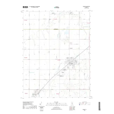
(10)- 2012 Map of Nokomis, 2012 Print
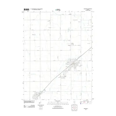 2012 Nokomis2012 Print · USGSCovers Witt, including Nokomis, Coalton, and other nearby areas
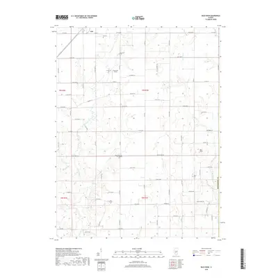
 - 2012 Map of Bald Knob, 2012 Print
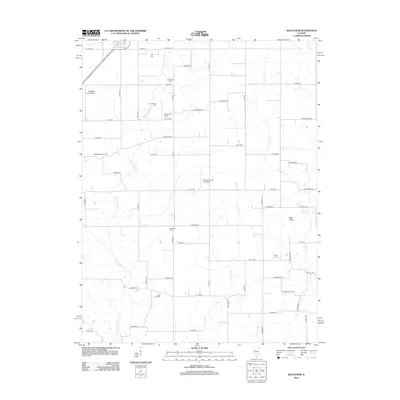 2012 Bald Knob2012 Print · USGSCovers Witt, including Montgomery County, Fayette County, and other nearby areas
 - 2015 Map of Nokomis, 2015 Print
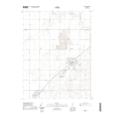
 2015 Nokomis2015 Print · USGSCovers Witt, including Nokomis, Coalton, and other nearby areas
 - 2015 Map of Bald Knob, 2015 Print
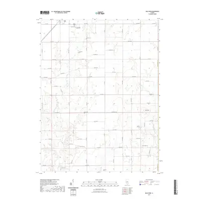
 2015 Bald Knob2015 Print · USGSCovers Witt, including Montgomery County, Fayette County, and other nearby areas
 - 2018 Map of Nokomis, 2018 Print
 2018 Nokomis2018 Print · USGSCovers Witt, including Nokomis, Coalton, and other nearby areas
 - 2018 Map of Bald Knob, 2018 Print
 2018 Bald Knob2018 Print · USGSCovers Witt, including Montgomery County, Fayette County, and other nearby areas
 - 2021 Map of Bald Knob, 2021 Print
 2021 Bald Knob2021 Print · USGSCovers Witt, including Montgomery County, Fayette County, and other nearby areas
 - 2021 Map of Nokomis, 2021 Print
 2021 Nokomis2021 Print · USGSCovers Witt, including Nokomis, Coalton, and other nearby areas
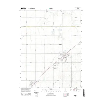
 - 2024 Map of Nokomis, 2024 Print
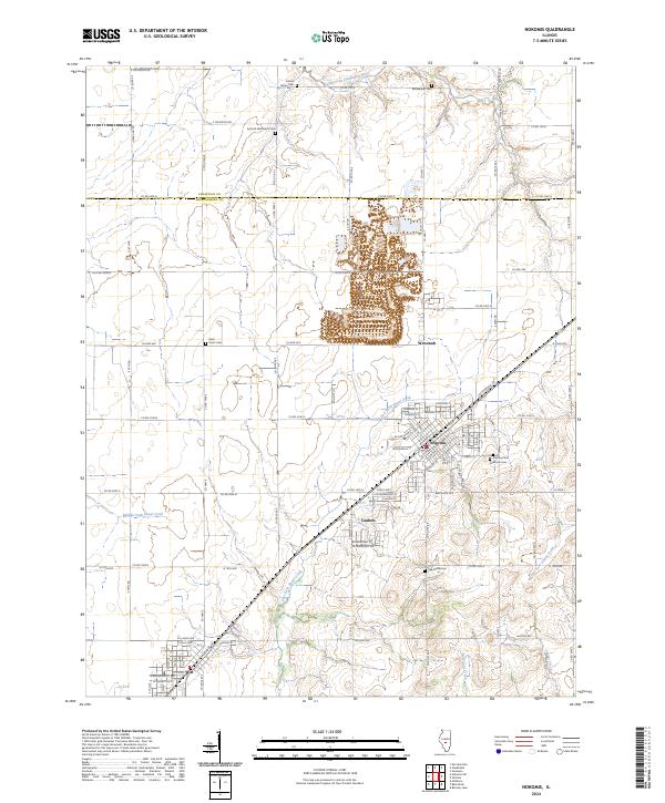 2024 Nokomis2024 Print · USGSCentral Illinois prairie and creek-side settlements are captured here in the 2020s. Researchers can locate family plots at Antioch Methodist Cem or Calvary Cem and trace the early town layouts of Nokomis and Coalton.
 - 2024 Map of Bald Knob, 2024 Print
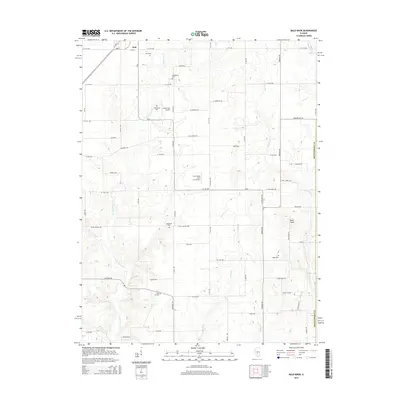
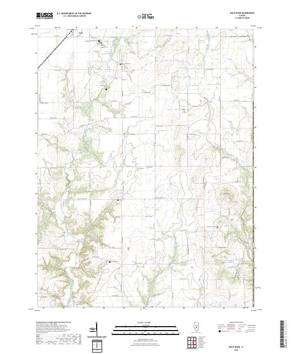 2024 Bald Knob2024 Print · USGSMontgomery County’s rural landscape is captured here in the early twenty-first century, showing the enduring agricultural and community boundaries of central Illinois. Genealogists can trace family heritage across numerous local burial sites, including the Russian Orthodox Cem, Bost Hill Cem, and Gooseneck Cem.
End of results
Showing maps 1-10 of 10
Top cities near Witt
- Taylorville historical maps
- Hillsboro historical maps
- Nokomis historical maps
- Morrisonville historical maps
- Raymond historical maps
- Coffeen historical maps
See more
Frequently asked questions
- What are the different types of historical maps available for Witt?
- What is the oldest map of Witt?
- Where can I purchase historical maps of Witt for my home or office?
- Where can I download high-res historical maps of Witt?
- Are there historical topographic maps available for Witt?
- Is there historical aerial imagery available for Witt?
- Where are historical maps of Witt sourced from?