2020s Maps of Murrayville, Illinois
Explore 4 historic maps of Murrayville from the 2020s. These maps offer a rare glimpse into what life looked like during the 2020s — showing old roads, neighborhoods, homes, and landmarks that have changed or disappeared over time.
Whether you're researching your family's past, planning a metal detecting trip, or studying how Murrayville's landscape evolved across the 2020s, these high-resolution maps are a powerful tool for exploring the history of this region.
- Focus on a specific era: All maps on this page are from the 2020s, giving you a focused view of this time period.
- See what’s changed: Compare century-old streets, trails, and buildings to today's modern landscape using overlays and satellite layers.
- Research with precision: Use these maps for genealogy, historical research, land use analysis, or educational projects.
- View, download, or print: Maps are fully viewable online in high resolution, and can be downloaded or printed for your own records.
Start exploring Murrayville's history through authentic maps from the 2020s. This is your window into the past.
Murrayville, IL maps
(4)- 2021 Map of Nortonville, 2021 Print
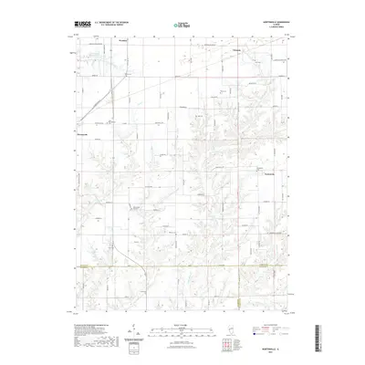 2021 Nortonville2021 Print · USGSCovers Murrayville, including Nortonville, Clements, and other nearby areas
 - 2021 Map of Manchester, 2021 Print
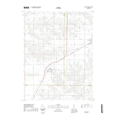 2021 Manchester2021 Print · USGSCovers Murrayville, including Manchester, Morgan County, and other nearby areas
 - 2024 Map of Nortonville, 2024 Print
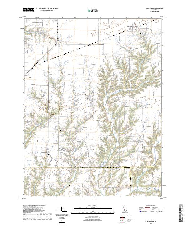 2024 Nortonville2024 Print · USGSThis modern record of central Illinois captures the rural character and family history of Morgan and Macoupin counties. Genealogists can trace numerous local landmarks including Youngblood Cem, Saint Bartholomew Cem, and the quiet crossroads of Nortonville.
 - 2024 Map of Manchester, 2024 Print
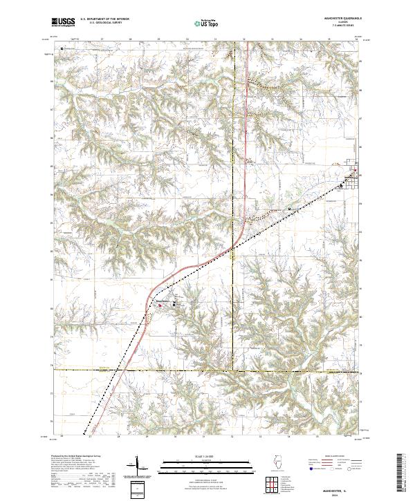 2024 Manchester2024 Print · USGSThe agricultural borders of Scott, Morgan, and Greene counties are detailed here in the early twenty-first century. Genealogists can locate several local burial grounds, including Old Manchester Cem, Bethel Cem, and Canatsey Cem.
End of results
Showing maps 1-4 of 4
Top cities near Murrayville
- Jacksonville historical maps
- South Jacksonville historical maps
- White Hall historical maps
- Winchester historical maps
- Roodhouse historical maps
- Chapin historical maps
See more
Frequently asked questions
- What are the different types of historical maps available for Murrayville?
- What is the oldest map of Murrayville?
- Where can I purchase historical maps of Murrayville for my home or office?
- Where can I download high-res historical maps of Murrayville?
- Are there historical topographic maps available for Murrayville?
- Is there historical aerial imagery available for Murrayville?
- Where are historical maps of Murrayville sourced from?