2000s (21st Century) Maps of Ogle County, Illinois
Explore 105 historic maps of Ogle County from the 2000s (21st Century). These maps offer a rare glimpse into what life looked like during the 2000s — showing old roads, neighborhoods, homes, and landmarks that have changed or disappeared over time.
Whether you're researching your family's past, planning a metal detecting trip, or studying how Ogle County's landscape evolved across the 2000s, these high-resolution maps are a powerful tool for exploring the history of this region.
- Focus on a specific era: All maps on this page are from the 2000s, giving you a focused view of this time period.
- See what’s changed: Compare century-old streets, trails, and buildings to today's modern landscape using overlays and satellite layers.
- Research with precision: Use these maps for genealogy, historical research, land use analysis, or educational projects.
- View, download, or print: Maps are fully viewable online in high resolution, and can be downloaded or printed for your own records.
Start exploring Ogle County's history through authentic maps from the 2000s. This is your window into the past.
Ogle County, IL maps
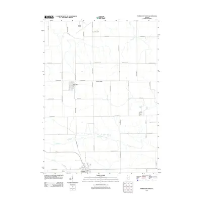
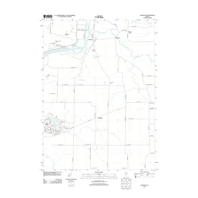
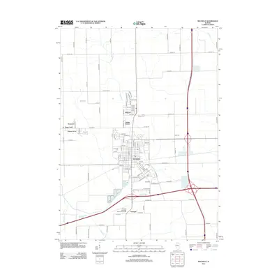
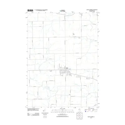
(105)- 2012 Map of Oregon, 2012 Print
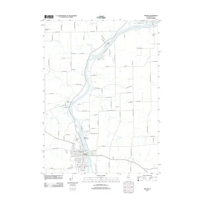 2012 Oregon2012 Print · USGSCovers Ogle County, including Oregon, Byron, and other nearby areas
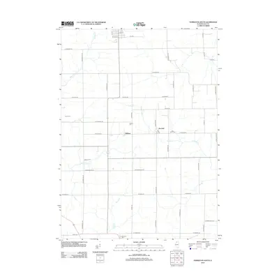
 - 2012 Map of Brookville, 2012 Print
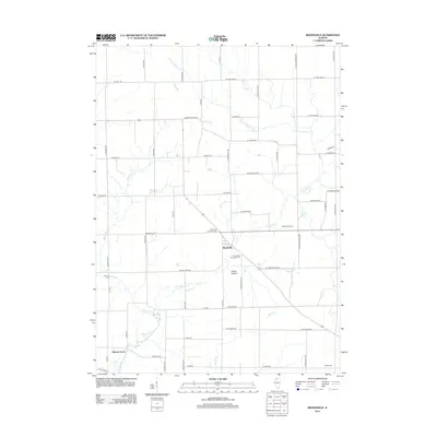 2012 Brookville2012 Print · USGSCovers Ogle County, including Elkhorn Grove, Brookville, and other nearby areas
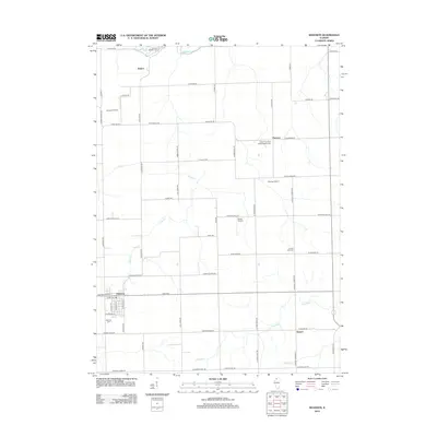
 - 2012 Map of Stillman Valley, 2012 Print
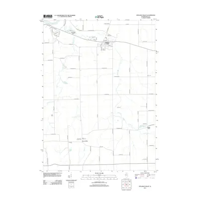 2012 Stillman Valley2012 Print · USGSCovers Ogle County, including Byron, Stillman Valley, and other nearby areas
 - 2012 Map of Seward, 2012 Print
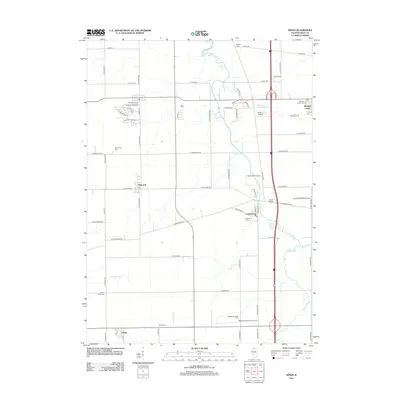
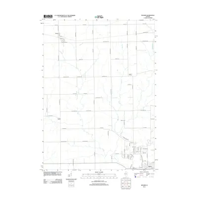 2012 Seward2012 Print · USGSCovers Ogle County, including Byron, Seward, and other nearby areas
 - 2012 Map of Forreston North, 2012 Print
 2012 Forreston North2012 Print · USGSCovers Ogle County, including Forreston, South Freeport, and other nearby areas
 - 2012 Map of Forreston South, 2012 Print
 2012 Forreston South2012 Print · USGSCovers Ogle County, including Forreston, Maryland, and other nearby areas
 - 2012 Map of Shannon, 2012 Print
 2012 Shannon2012 Print · USGSCovers Ogle County, including Freeport, Florence, and other nearby areas
 - 2012 Map of Kishwaukee, 2012 Print
 2012 Kishwaukee2012 Print · USGSCovers Ogle County, including Rockford, Byron, and other nearby areas
 - 2012 Map of Daysville, 2012 Print
 2012 Daysville2012 Print · USGSCovers Ogle County, including Oregon, Ashton Township, and other nearby areas
 - 2012 Map of Chana, 2012 Print
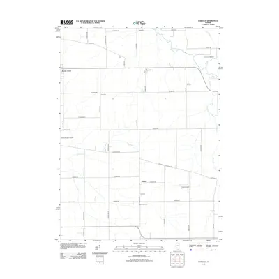
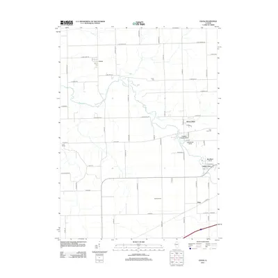 2012 Chana2012 Print · USGSCovers Ogle County, including Reynolds Township, Ashton Township, and other nearby areas
 - 2012 Map of Hazelhurst, 2012 Print
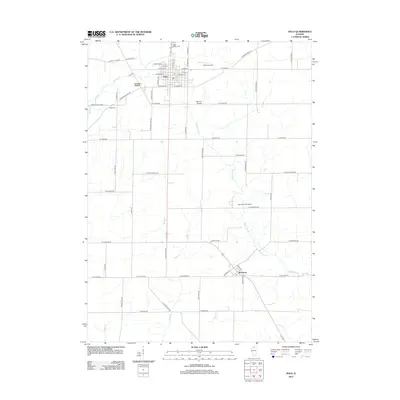
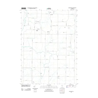 2012 Hazelhurst2012 Print · USGSCovers Ogle County, including Eagle Point, Woosung Township, and other nearby areas
 - 2012 Map of Creston, 2012 Print
 2012 Creston2012 Print · USGSCovers Ogle County, including Rochelle, Malta, and other nearby areas
 - 2012 Map of Rochelle, 2012 Print
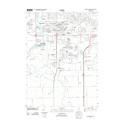
 2012 Rochelle2012 Print · USGSCovers Ogle County, including Rochelle, Hillcrest, and other nearby areas
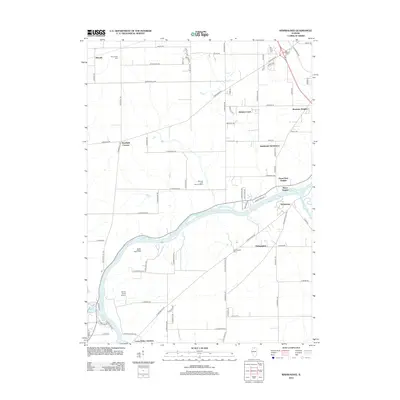
 - 2012 Map of Grand Detour, 2012 Print
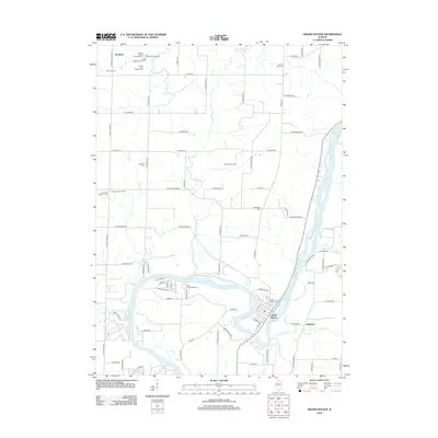 2012 Grand Detour2012 Print · USGSCovers Ogle County, including Dixon, Grand Detour, and other nearby areas
 - 2012 Map of Polo, 2012 Print
 2012 Polo2012 Print · USGSCovers Ogle County, including Polo, Woosung, and other nearby areas
 - 2012 Map of Fairdale, 2012 Print
 2012 Fairdale2012 Print · USGSCovers Ogle County, including Kirkland, Monroe Center, and other nearby areas
 - 2012 Map of Mount Morris, 2012 Print
 2012 Mount Morris2012 Print · USGSCovers Ogle County, including Mount Morris, Leaf River, and other nearby areas
 - 2012 Map of Kings, 2012 Print
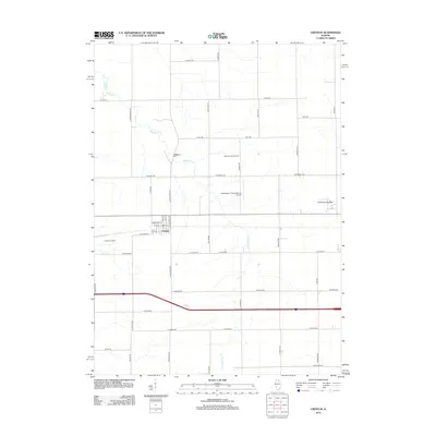
 2012 Kings2012 Print · USGSCovers Ogle County, including Davis Junction, Monroe Center, and other nearby areas
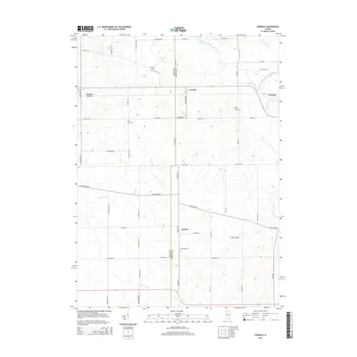
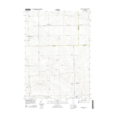
 - 2012 Map of German Valley, 2012 Print
 2012 German Valley2012 Print · USGSCovers Ogle County, including Leaf River, German Valley, and other nearby areas
 - 2012 Map of Rockford South, 2012 Print
 2012 Rockford South2012 Print · USGSCovers Ogle County, including Rockford, Davis Junction, and other nearby areas
 - 2012 Map of Cherry Valley, 2012 Print
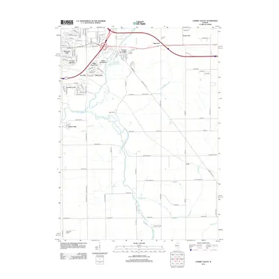 2012 Cherry Valley2012 Print · USGSCovers Ogle County, including Rockford, Belvidere, and other nearby areas
 - 2015 Map of Fairdale, 2015 Print
 2015 Fairdale2015 Print · USGSCovers Ogle County, including Kirkland, Monroe Center, and other nearby areas
 - 2015 Map of Cherry Valley, 2015 Print
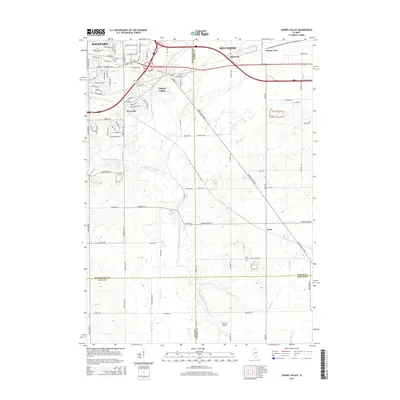 2015 Cherry Valley2015 Print · USGSCovers Ogle County, including Rockford, Belvidere, and other nearby areas
 - 2015 Map of Creston, 2015 Print
 2015 Creston2015 Print · USGSCovers Ogle County, including Rochelle, Malta, and other nearby areas
 - 2015 Map of German Valley, 2015 Print
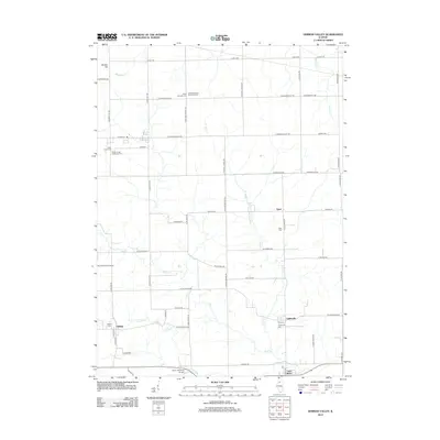
 2015 German Valley2015 Print · USGSCovers Ogle County, including Leaf River, German Valley, and other nearby areas
Showing maps 1-25 of 105
Top cities of Ogle County
Frequently asked questions
- What are the different types of historical maps available for Ogle County?
- What is the oldest map of Ogle County?
- Where can I purchase historical maps of Ogle County for my home or office?
- Where can I download high-res historical maps of Ogle County?
- Are there historical topographic maps available for Ogle County?
- Is there historical aerial imagery available for Ogle County?
- Where are historical maps of Ogle County sourced from?