Old Maps of Princeville, Illinois for Genealogy
Trace your family roots with 26 historic maps of Princeville. These high-res maps reveal old neighborhoods, homesites, landmarks, and streets — helping you uncover where your ancestors lived and how the area evolved over time.
- Explore historic neighborhoods: Identify where your relatives may have lived in the 1800s or 1900s.
- Compare maps over time: Trace the changes in streets, buildings, and landmarks for multi-generational research.
- Perfect for genealogy & ancestry research: Used by family historians and researchers to map out lineage and migration.
These maps are an incredible resource for exploring your personal connection to Princeville's past.
Princeville, IL maps
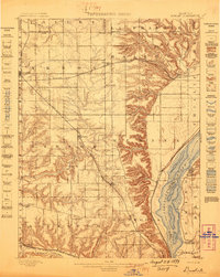
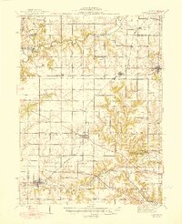
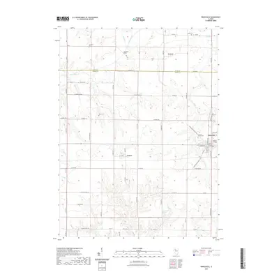
(26)- 1893 Map of Dunlap
 1893 Dunlap1893 Print · USGSPeoria County and the Illinois River valley are seen here in the 1890s, when the region was a bustling network of rail towns and river bluffs. Genealogists can trace family roots in early settlements like Dunlap, Princeville, and the river community of Mossville.
 - 1898 Map of Dunlap
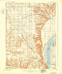
 1898 Dunlap1898 Print · USGSPeoria County and its neighboring townships thrive along the river bluffs and rail lines during the late 1890s. Researchers can trace the path of the Atchison Topeka and Santa Fe Railroad and locate vanished rural centers like Wady Petra and Orange Prairie.4 unique versions available
 - 1932 Map of Dunlap
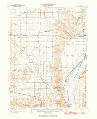
 1932 Dunlap1932 Print · USGSNorth of Peoria in the late nineteenth century, the prairie landscape was being reshaped by a dense network of competing rail lines. Trace old homesteads and vanished stops like Orange Prairie and Wady Petra along the Illinois River bluffs.
 - 1933 Map of Dunlap
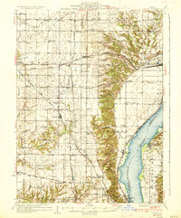
 1933 Dunlap1933 Print · USGSPeoria County's agricultural heartland and river bluffs are captured here between the world wars, when coal mines and early airfields sat alongside rural hamlets. Family historians can locate dozens of country schools, family-named cemeteries like Dickison Cem, and the historic Evans Mill Bridge.
 - 1937 Map of Dunlap
 1937 Dunlap1937 Print · USGSPeoria County and its river bluffs are shown in the 1930s as a vital transportation hub of railroads and early airfields. Researchers can trace rural lineages through the many schools and burial grounds like Lawn Ridge Cem, Prospect Cem, and Hazel Dell Sch.3 unique versions available
 - 1944 Map of Elmwood, 1967 Print
 1944 Elmwood1967 Print · USGSPeoria and Stark counties during the mid-forties reveal a landscape of thriving rail hubs and tightly knit rural school districts. Researchers can trace the legacy of local education and faith at Paradise Chapel Sch, Jubilee College State Park, and the Southport Cem.2 unique versions available
 - 1948 Map of Elmwood
 1948 Elmwood1948 Print · USGSPeoria and Stark counties were bustling agricultural and rail hubs in the late 1940s. Genealogists and historians can trace dozens of country schools and churches, including Paradise Chapel, Dixie Sch, and Southport Cem near the Spoon River.2 unique versions available
 - 1958 Map of Peoria, 1969 Print
 1958 Peoria1969 Print · USGSCentral Illinois thrived as a hub of education and transport during the late sixties, as the new interstate system began to reshape the prairie. Genealogists and historians can trace local landmarks like Springdale Cem, Bradley University, and the sprawling grounds of Chanute AFB.4 unique versions available
 - 1961 Map of Peoria
 1961 Peoria1961 Print · USGSCentral Illinois thrived at the intersection of river trade and rail power during the late fifties. Genealogists and local historians can trace the rail networks of the Illinois Central and Wabash, alongside landmarks like Chanute AFB and Weldon Springs State Park.
 - 1963 Map of Peoria
 1963 Peoria1963 Print · USGSCentral Illinois thrived as a rail and highway crossroads during the early sixties, centered on the bustling Illinois River valley. Genealogists and historians can trace the mid-century layout of Peoria, locate the grounds of Chanute Air Force Base, and follow historic lines like the Toledo Peoria and Western Railway.
 - 1982 Map of Edelstein, 1983 Print
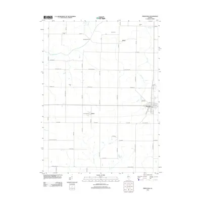
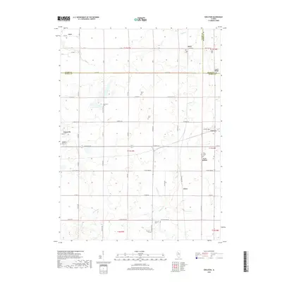
 1982 Edelstein1983 Print · USGSPeoria County farming communities thrived along the rail corridors of central Illinois during the early nineteen-eighties. Genealogists can locate several family-named burial sites like Hitchcock Cem and Prospect Cem or trace the Old Railroad Grade near the village of Stark.
 - 1982 Map of Princeville, 1983 Print
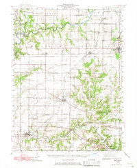
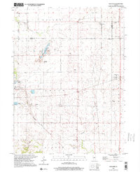
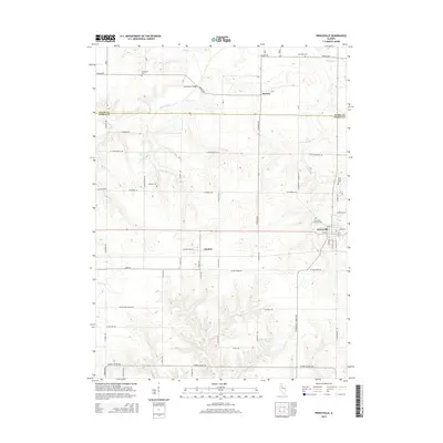
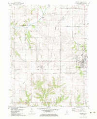 1982 Princeville1983 Print · USGSPeoria County's agricultural heartland is documented here in the early eighties, showcasing the vital rail junction at Princeville. Researchers can locate old burial grounds like Stringtown Cem and trace the paths of the Burlington Northern and Atchison Topeka and Santa Fe railroads.
 - 1985 Map of Peoria
 1985 Peoria1985 Print · USGSThe Illinois River valley and the Tri-County area are captured here in the mid-1980s as industry and infrastructure reshaped the heart of the state. Researchers can trace the grounds of Jubilee College, locate the Stark Mine near Elmwood, or follow the busy tracks of the Norfolk and Western Railroad.
 - 1989 Map of Peoria
 1989 Peoria1989 Print · USGSThe Illinois River valley thrived as a regional center of industry, education, and transport during the late eighties. Researchers can trace the extensive rail networks of the Peoria and Pekin Union Railway or locate landmarks like Bradley University and the Peoria Air National Guard Base.
 - 1990 Map of Peoria
 1990 Peoria1990 Print · USGSCentral Illinois at the start of the nineties reveals a landscape of industrial river towns and sprawling university campuses. Researchers can trace the legacy of major institutions like Chanute Air Force Base and the University of Illinois alongside regional landmarks such as Sand Ridge State Forest.
 - 1998 Map of Edelstein, 2001 Print
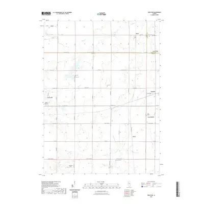
 1998 Edelstein2001 Print · USGSPeoria and Stark counties at the turn of the millennium show a landscape evolving from rail-based industry to modern trails. Genealogists can trace family names through several rural burial grounds like Streitmatter Cem and Lawn Ridge Cem, while the Old Rock Island State Trail marks the area's changing transportation legacy.
 - 2012 Map of Princeville, 2012 Print
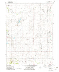
 2012 Princeville2012 Print · USGSCovers Princeville, including Monica, Duncan, and other nearby areas
 - 2012 Map of Edelstein, 2012 Print
 2012 Edelstein2012 Print · USGSCovers Princeville, including Akron, West Hallock, and other nearby areas
 - 2015 Map of Edelstein, 2015 Print
 2015 Edelstein2015 Print · USGSCovers Princeville, including Akron, West Hallock, and other nearby areas
 - 2015 Map of Princeville, 2015 Print
 2015 Princeville2015 Print · USGSCovers Princeville, including Monica, Duncan, and other nearby areas
 - 2018 Map of Edelstein, 2018 Print
 2018 Edelstein2018 Print · USGSCovers Princeville, including Akron, West Hallock, and other nearby areas
 - 2018 Map of Princeville, 2018 Print
 2018 Princeville2018 Print · USGSCovers Princeville, including Monica, Duncan, and other nearby areas
 - 2021 Map of Edelstein, 2021 Print
 2021 Edelstein2021 Print · USGSCovers Princeville, including Akron, West Hallock, and other nearby areas
 - 2021 Map of Princeville, 2021 Print
 2021 Princeville2021 Print · USGSCovers Princeville, including Monica, Duncan, and other nearby areas
 - 2024 Map of Princeville, 2024 Print
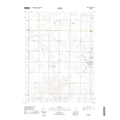
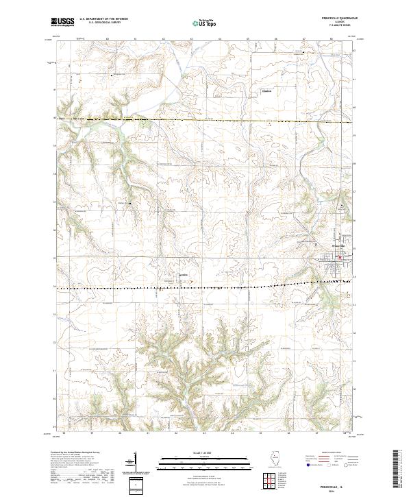 2024 Princeville2024 Print · USGSPeoria and Stark counties are shown in this modern survey of the Illinois prairie. Researchers can trace local lineage through several family and community burial sites like Stringtown Cem, Saint Mary Cem, and the Princeville Township Cem.
Showing maps 1-25 of 26
Top cities near Princeville
- Peoria historical maps
- East Peoria historical maps
- Chillicothe historical maps
- Kickapoo historical maps
- Elmwood historical maps
- Wyoming historical maps
See more
Frequently asked questions
- What are the different types of historical maps available for Princeville?
- What is the oldest map of Princeville?
- Where can I purchase historical maps of Princeville for my home or office?
- Where can I download high-res historical maps of Princeville?
- Are there historical topographic maps available for Princeville?
- Is there historical aerial imagery available for Princeville?
- Where are historical maps of Princeville sourced from?