2020s Maps of Du Quoin, Illinois
Explore 8 historic maps of Du Quoin from the 2020s. These maps offer a rare glimpse into what life looked like during the 2020s — showing old roads, neighborhoods, homes, and landmarks that have changed or disappeared over time.
Whether you're researching your family's past, planning a metal detecting trip, or studying how Du Quoin's landscape evolved across the 2020s, these high-resolution maps are a powerful tool for exploring the history of this region.
- Focus on a specific era: All maps on this page are from the 2020s, giving you a focused view of this time period.
- See what’s changed: Compare century-old streets, trails, and buildings to today's modern landscape using overlays and satellite layers.
- Research with precision: Use these maps for genealogy, historical research, land use analysis, or educational projects.
- View, download, or print: Maps are fully viewable online in high resolution, and can be downloaded or printed for your own records.
Start exploring Du Quoin's history through authentic maps from the 2020s. This is your window into the past.
Du Quoin, IL maps
(8)- 2021 Map of Pyatts, 2021 Print
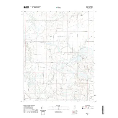 2021 Pyatts2021 Print · USGSCovers Du Quoin, including Pinckneyville, Pyatts, and other nearby areas
 - 2021 Map of Vergennes, 2021 Print
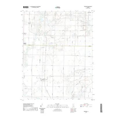 2021 Vergennes2021 Print · USGSCovers Du Quoin, including Vergennes, Matthews, and other nearby areas
 - 2021 Map of Elkville, 2021 Print
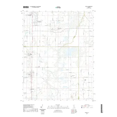 2021 Elkville2021 Print · USGSCovers Du Quoin, including Elkville, Dowell, and other nearby areas
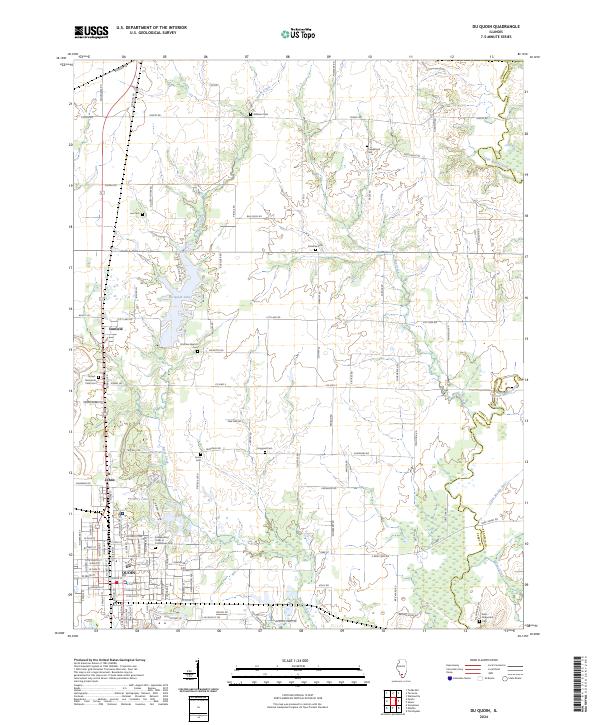
 - 2021 Map of Du Quoin, 2021 Print
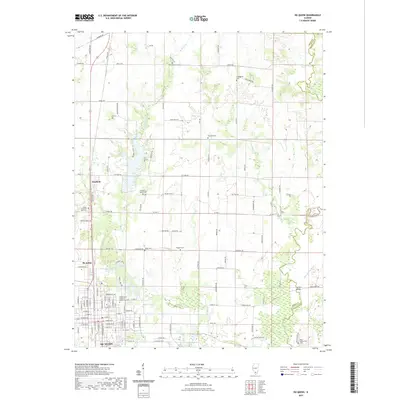 2021 Du Quoin2021 Print · USGSCovers Du Quoin, including Holden, Saint Johns, and other nearby areas
 - 2024 Map of Elkville, 2024 Print
 2024 Elkville2024 Print · USGSSouthern Illinois coal and farm country comes into focus here, showing the communities of Elkville and Old Du Quoin. Genealogists can trace family lines through numerous burial sites like Dutch Hill Cem and Hallidayboro Cem along the Little Muddy River.
 - 2024 Map of Vergennes, 2024 Print
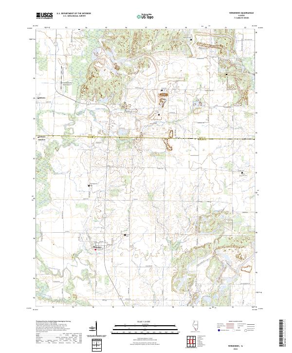 2024 Vergennes2024 Print · USGSSouthern Illinois agricultural and creek-bed landscapes are documented here in the contemporary era. Researchers can trace family history through numerous burial sites like Parrish Cem and Sutter Cem or explore the rail-adjacent settlement of Matthews Junction.
 - 2024 Map of Pyatts, 2024 Print
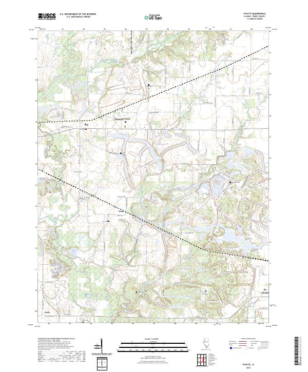 2024 Pyatts2024 Print · USGSPerry County's rural landscape is captured here in the contemporary era, showing the enduring layout of prairie settlements and stream networks. Researchers can trace family history through numerous local sites like Holts Prairie Cem, Dry Cem, and Cudgetown Cem.
 - 2024 Map of Du Quoin, 2024 Print
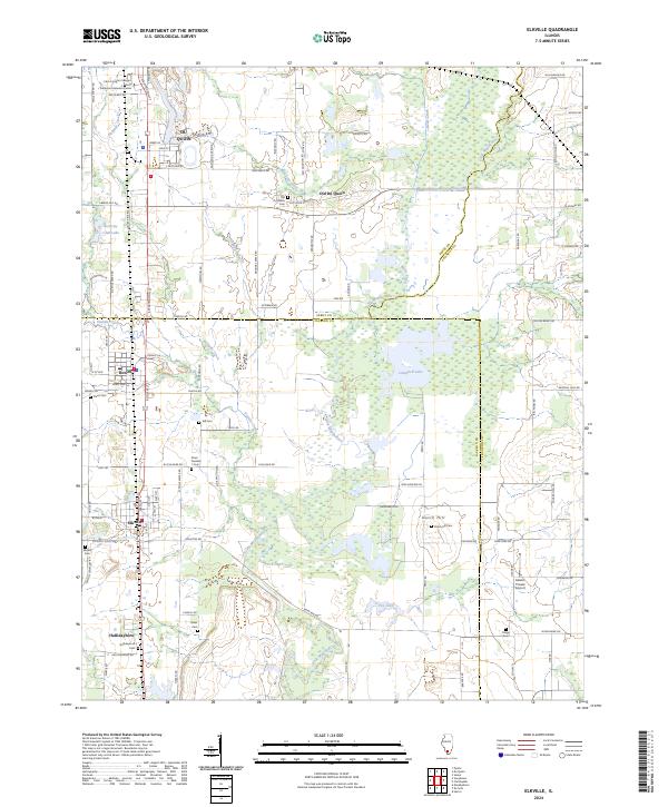
 2024 Du Quoin2024 Print · USGSDu Quoin and the surrounding southern Illinois prairie are shown here in the 2020s, highlighting the intersection of municipal life and rural drainage. Researchers can trace local genealogy through numerous sites like Independent Order of Oddfellows Cem and Jones Cem near St. Johns.
End of results
Showing maps 1-8 of 8
Top cities near Du Quoin
- Herrin historical maps
- Murphysboro historical maps
- Pinckneyville historical maps
- Carterville historical maps
- Christopher historical maps
- Sesser historical maps
See more
Frequently asked questions
- What are the different types of historical maps available for Du Quoin?
- What is the oldest map of Du Quoin?
- Where can I purchase historical maps of Du Quoin for my home or office?
- Where can I download high-res historical maps of Du Quoin?
- Are there historical topographic maps available for Du Quoin?
- Is there historical aerial imagery available for Du Quoin?
- Where are historical maps of Du Quoin sourced from?