Old Maps of Olney, Illinois for Hiking & Exploration
Hike through history with 24 historic maps of Olney. Explore old trails, ghost towns, and forgotten backroads — perfect for outdoor adventurers and local explorers.
- Rediscover forgotten places: Map out old mining camps, roads, and footpaths that no longer exist on modern maps.
- Layer with modern tools: Combine with LiDAR or satellite views to plan hikes through historical terrain.
- Made for exploration: Popular among hikers, overlanders, and local history lovers.
Use these maps to find adventure and explore the hidden past of Olney.
Olney, IL maps
(24)- 1941 Map of Newton, 1972 Print
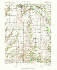 1941 Newton1972 Print · USGSJasper and Richland counties appear here during the early 1940s, showing a landscape of river-valley farms and small rail towns. Genealogists can trace family footprints through dozens of rural landmarks like Onion Prairie Sch, Bethel Cem, and Willow Hill.
 - 1943 Map of Newton
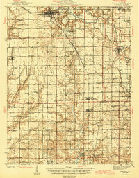 1943 Newton1943 Print · USGSJasper and Richland counties are captured here in the early 1940s, showing a landscape defined by the Embarrass River and the Illinois Central railroad. Genealogists can locate dozens of country schools and churches, from Brush College Sch to Shiloh Ch.2 unique versions available
 - 1949 Map of Olney
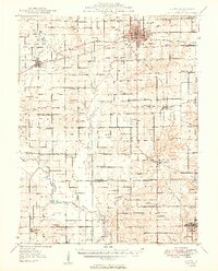 1949 Olney1949 Print · USGSSoutheastern Illinois in the late 1940s is a landscape of thriving rail hubs and scattered oil wells. Genealogists can locate family names and rural landmarks like Sodom Sch, Shields Cem, and the Baltimore and Ohio RR corridor.2 unique versions available
 - 1958 Map of Belleville, 1973 Print
 1958 Belleville1973 Print · USGSSouthern Illinois during the mid-twentieth century reveals a landscape of industrial growth and massive new reservoirs. Genealogists and historians can trace the paths of the Illinois Central RR through towns like Centralia or locate landmarks such as Emerald Mound and the Looking Glass Prairie.3 unique versions available
 - 1962 Map of Belleville
 1962 Belleville1962 Print · USGSSouthern Illinois in the late fifties reveals a landscape of industrial growth and ancient landmarks before the full expansion of the interstate system. Genealogists can trace family names and rural post offices near Centralia, Salem, and the historic Monks Mound.
 - 1971 Map of Olney, 1973 Print
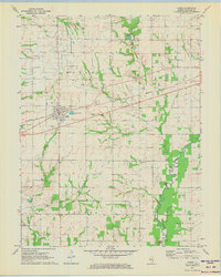
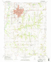 1971 Olney1973 Print · USGSRichland County at the start of the 1970s reveals a landscape shaped by the rail junction at Olney and active petroleum extraction. Genealogists and historians can trace family plots at Haven Hill Cem, locate the Richland Sch, or follow the Illinois Central line to Calhoun.2 unique versions available
 - 1971 Map of Noble, 1973 Print
 1971 Noble1973 Print · USGSRichland County at the start of the 1970s is a landscape of rural crossroads and active energy extraction. Genealogists and historians can trace family locations near Noble using landmarks like Decker Cem, Antioch Ch, and the Noble Oil Field.2 unique versions available
 - 1985 Map of Dundas
 1985 Dundas1985 Print · USGSThe borderlands of Jasper and Richland counties in the mid-1980s show a landscape of quiet rural settlements and expanding reservoirs. Researchers can trace family sites near West Liberty, Dundas, and Rafetown, or locate old burials at several Cem locations near Olney Lake.
 - 1986 Map of Olney
 1986 Olney1986 Print · USGSSouth-central Illinois in the mid-eighties shows a landscape of small agricultural towns linked by historic rail lines and prairie preserves. Trace family roots and vanished rail stops near Kinmundy, the Prairie Chicken Sanctuary, and Salem.2 unique versions available
 - 2012 Map of Dundas, 2012 Print
 2012 Dundas2012 Print · USGSCovers Olney, including Rafetown, West Liberty, and other nearby areas
 - 2012 Map of Noble, 2012 Print
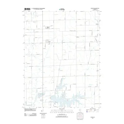
 2012 Noble2012 Print · USGSCovers Olney, including Noble, Gallagher, and other nearby areas
 - 2012 Map of Olney, 2012 Print
 2012 Olney2012 Print · USGSCovers Olney, including Calhoun, Elbow, and other nearby areas
 - 2015 Map of Dundas, 2015 Print
 2015 Dundas2015 Print · USGSCovers Olney, including Rafetown, West Liberty, and other nearby areas
 - 2015 Map of Olney, 2015 Print
 2015 Olney2015 Print · USGSCovers Olney, including Calhoun, Elbow, and other nearby areas
 - 2015 Map of Noble, 2015 Print
 2015 Noble2015 Print · USGSCovers Olney, including Noble, Gallagher, and other nearby areas
 - 2018 Map of Olney, 2018 Print
 2018 Olney2018 Print · USGSCovers Olney, including Calhoun, Elbow, and other nearby areas
 - 2018 Map of Noble, 2018 Print
 2018 Noble2018 Print · USGSCovers Olney, including Noble, Gallagher, and other nearby areas
 - 2018 Map of Dundas, 2018 Print
 2018 Dundas2018 Print · USGSCovers Olney, including Rafetown, West Liberty, and other nearby areas
 - 2021 Map of Dundas, 2021 Print
 2021 Dundas2021 Print · USGSCovers Olney, including Rafetown, West Liberty, and other nearby areas
 - 2021 Map of Noble, 2021 Print
 2021 Noble2021 Print · USGSCovers Olney, including Noble, Gallagher, and other nearby areas
 - 2021 Map of Olney, 2021 Print
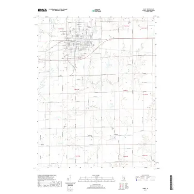
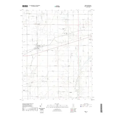
 2021 Olney2021 Print · USGSCovers Olney, including Calhoun, Elbow, and other nearby areas
 - 2024 Map of Olney, 2024 Print
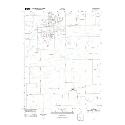
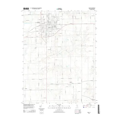
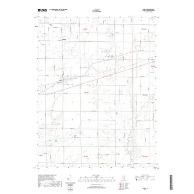
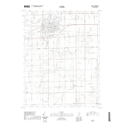
 2024 Olney2024 Print · USGSRichland County's seat and surrounding rural townships are documented in this modern survey of Olney and its outlying settlements. Genealogists and local historians can map out family plots at Haven Hill Cem or trace the early foundations of Calhoun and Elbow.
 - 2024 Map of Dundas, 2024 Print
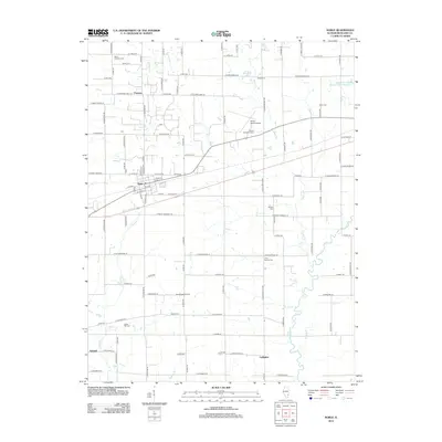
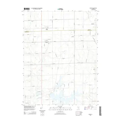
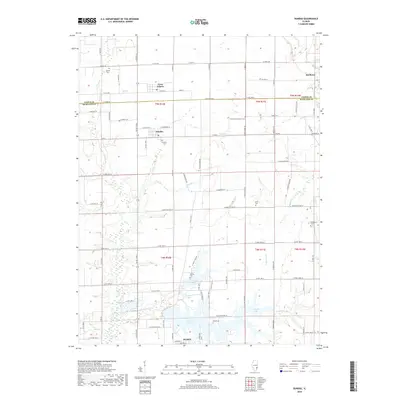
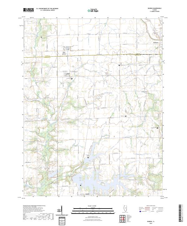 2024 Dundas2024 Print · USGSThe Jasper and Richland county line crosses this Illinois landscape in the early 2020s, revealing a rural network of small settlements and waterways. Researchers can trace family history through numerous local sites like Bethel Cem, McBurg, and Dundas.
 - 2024 Map of Noble, 2024 Print
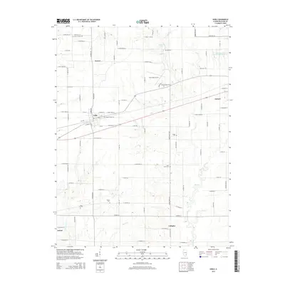
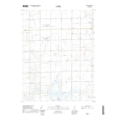
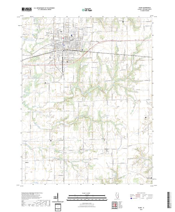
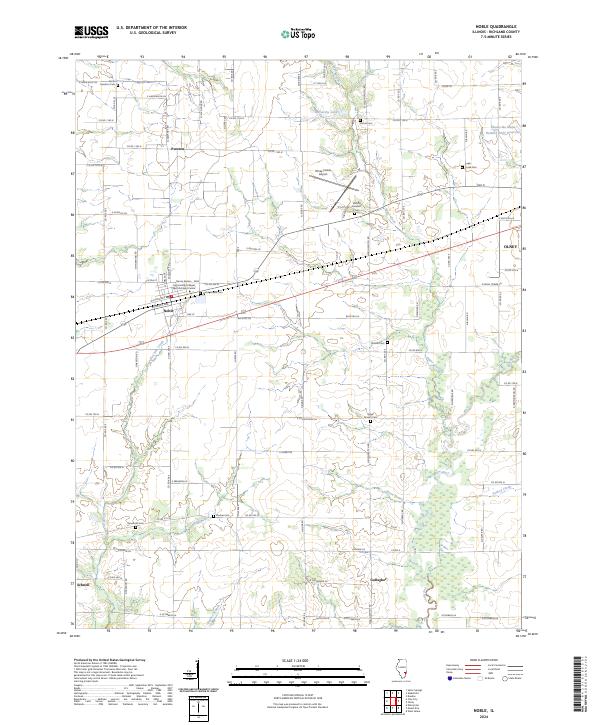 2024 Noble2024 Print · USGSRichland County at the start of the 2020s shows a landscape of established rural settlements and family-named cemeteries. Genealogists and historians can trace lineage across sites like Noble Prairie Cem, Pureton, and the banks of the Fox River.
End of results
Showing maps 1-24 of 24
Top cities near Olney
- Sumner historical maps
- West Salem historical maps
- Noble historical maps
- Parkersburg historical maps
- Calhoun historical maps
- Claremont historical maps
See more
Frequently asked questions
- What are the different types of historical maps available for Olney?
- What is the oldest map of Olney?
- Where can I purchase historical maps of Olney for my home or office?
- Where can I download high-res historical maps of Olney?
- Are there historical topographic maps available for Olney?
- Is there historical aerial imagery available for Olney?
- Where are historical maps of Olney sourced from?