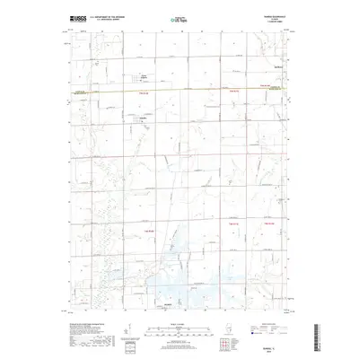
2018 Map of Dundas
USGS Topo · Published 2018About this map
The Fox River valley in Richland and Jasper Counties defines this landscape, where the northern residential reaches of Olney meet a traditional agrarian interior. Central to this survey is the village of Dundas, situated near the confluence of several small watercourses including Long Br and Camp Br. The map reveals a high density of rural burial grounds that speak to the area's genealogical history, from the Dundas Cem to the isolated McBurg Cem near the shores of Olney Lake.
Find a feature on this map
64 named features on this map. Tap any name to fly to it.
Don’t see what you’re looking for? This feature index may not catch every label — zoom into the map to look around manually.
Map Details
Editions of this 2018 Dundas Map
This is the sole edition of this map. No revisions or reprints were ever made.
Other maps of this area

1910 · Hardinville
USGS Topo · 1:62,500

1911 · Sumner
USGS Topo · 1:62,500

1913 · Sumner
USGS Topo · 1:62,500

1941 · Newton
USGS Topo · 1:62,500

1943 · Newton
USGS Topo · 1:62,500

1949 · Olney
USGS Topo · 1:62,500

1956 · Vincennes
USGS Topo · 1:250,000

1957 · Vincennes
USGS Topo · 1:250,000

1958 · Vincennes
USGS Topo · 1:250,000

1958 · Belleville
USGS Topo · 1:250,000