2000s (21st Century) Maps of O'Fallon, Illinois
Explore 15 historic maps of O'Fallon from the 2000s (21st Century). These maps offer a rare glimpse into what life looked like during the 2000s — showing old roads, neighborhoods, homes, and landmarks that have changed or disappeared over time.
Whether you're researching your family's past, planning a metal detecting trip, or studying how O'Fallon's landscape evolved across the 2000s, these high-resolution maps are a powerful tool for exploring the history of this region.
- Focus on a specific era: All maps on this page are from the 2000s, giving you a focused view of this time period.
- See what’s changed: Compare century-old streets, trails, and buildings to today's modern landscape using overlays and satellite layers.
- Research with precision: Use these maps for genealogy, historical research, land use analysis, or educational projects.
- View, download, or print: Maps are fully viewable online in high resolution, and can be downloaded or printed for your own records.
Start exploring O'Fallon's history through authentic maps from the 2000s. This is your window into the past.
O'Fallon, IL maps
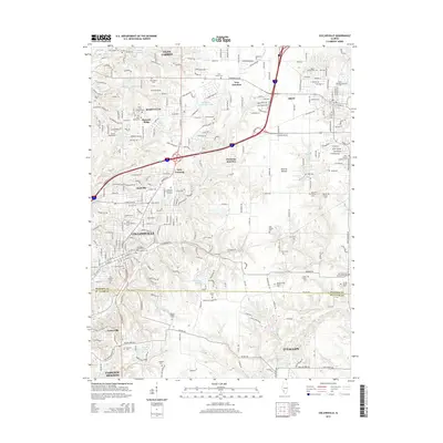
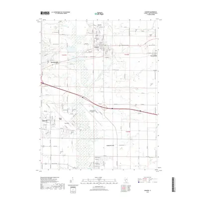
(15)- 2012 Map of O'Fallon, 2012 Print
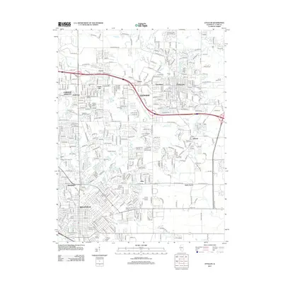 2012 O'Fallon2012 Print · USGSCovers O'Fallon, including Belleville, Fairview Heights, and other nearby areas
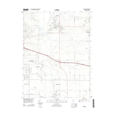
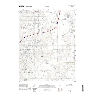
 - 2012 Map of Lebanon, 2012 Print
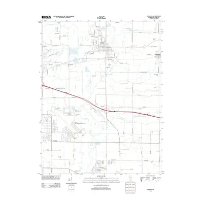 2012 Lebanon2012 Print · USGSCovers O'Fallon, including Shiloh, Mascoutah, and other nearby areas
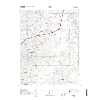
 - 2012 Map of Collinsville, 2012 Print
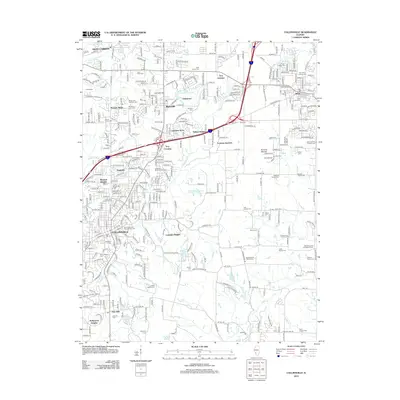 2012 Collinsville2012 Print · USGSCovers O'Fallon, including Collinsville, Fairview Heights, and other nearby areas
 - 2015 Map of O'Fallon, 2015 Print
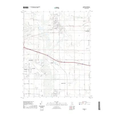
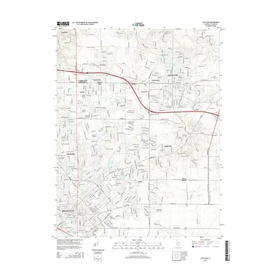 2015 O'Fallon2015 Print · USGSCovers O'Fallon, including Belleville, Fairview Heights, and other nearby areas
 - 2015 Map of Collinsville, 2015 Print
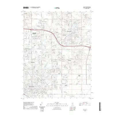
 2015 Collinsville2015 Print · USGSCovers O'Fallon, including Collinsville, Fairview Heights, and other nearby areas
 - 2015 Map of Lebanon, 2015 Print
 2015 Lebanon2015 Print · USGSCovers O'Fallon, including Shiloh, Mascoutah, and other nearby areas
 - 2018 Map of O'Fallon, 2018 Print
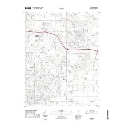 2018 O'Fallon2018 Print · USGSCovers O'Fallon, including Belleville, Fairview Heights, and other nearby areas
 - 2018 Map of Collinsville, 2018 Print
 2018 Collinsville2018 Print · USGSCovers O'Fallon, including Collinsville, Fairview Heights, and other nearby areas
 - 2018 Map of Lebanon, 2018 Print
 2018 Lebanon2018 Print · USGSCovers O'Fallon, including Shiloh, Mascoutah, and other nearby areas
 - 2021 Map of Lebanon, 2021 Print
 2021 Lebanon2021 Print · USGSCovers O'Fallon, including Shiloh, Mascoutah, and other nearby areas
 - 2021 Map of Collinsville, 2021 Print
 2021 Collinsville2021 Print · USGSCovers O'Fallon, including Collinsville, Fairview Heights, and other nearby areas
 - 2021 Map of O'Fallon, 2021 Print
 2021 O'Fallon2021 Print · USGSCovers O'Fallon, including Belleville, Fairview Heights, and other nearby areas
 - 2024 Map of Lebanon, 2024 Print
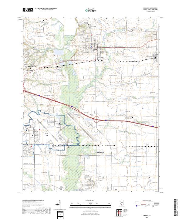 2024 Lebanon2024 Print · USGSSt. Clair County's central townships are shown here in modern detail, where the historic university town of Lebanon meets the major military and transit hub of Scott AFB. Genealogists can locate over a dozen burial sites, including Saint Joseph Catholic Cem, Old Catholic Cem, and Padfield Cem.
 - 2024 Map of Collinsville, 2024 Print
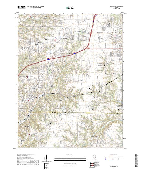 2024 Collinsville2024 Print · USGSThis contemporary survey of southwestern Illinois shows the modern intersection of interstate commerce and deep-rooted local history. Genealogists can trace family names across numerous sites like Riggin Family Cem, Metz Cem, and Lumaghi Heights.
 - 2024 Map of O'Fallon, 2024 Print
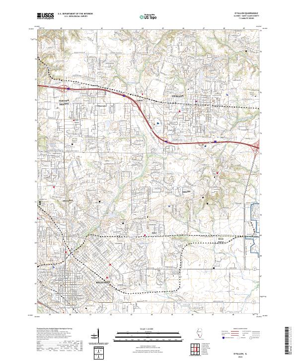 2024 O'Fallon2024 Print · USGSSt. Clair County is shown here as a major regional hub during its contemporary growth, defined by military and educational centers. Trace local roots at Old Saint Clair County Cem or follow the METRO line near BELLEVILLE and SCOTT AFB.
End of results
Showing maps 1-15 of 15
Top cities near O'Fallon
- Belleville historical maps
- Granite City historical maps
- Edwardsville historical maps
- Collinsville historical maps
- East St. Louis historical maps
- Fairview Heights historical maps
See more
Top neighborhoods of O'Fallon
- Carbon historical maps
- Glenview historical maps
- Petersburg historical maps
- Gettysburg historical maps
- Estates at Lincoln Farm historical maps
- Forest Hills historical maps
See more
Frequently asked questions
- What are the different types of historical maps available for O'Fallon?
- What is the oldest map of O'Fallon?
- Where can I purchase historical maps of O'Fallon for my home or office?
- Where can I download high-res historical maps of O'Fallon?
- Are there historical topographic maps available for O'Fallon?
- Is there historical aerial imagery available for O'Fallon?
- Where are historical maps of O'Fallon sourced from?