2020s Maps of Saline County, Illinois
Explore 32 historic maps of Saline County from the 2020s. These maps offer a rare glimpse into what life looked like during the 2020s — showing old roads, neighborhoods, homes, and landmarks that have changed or disappeared over time.
Whether you're researching your family's past, planning a metal detecting trip, or studying how Saline County's landscape evolved across the 2020s, these high-resolution maps are a powerful tool for exploring the history of this region.
- Focus on a specific era: All maps on this page are from the 2020s, giving you a focused view of this time period.
- See what’s changed: Compare century-old streets, trails, and buildings to today's modern landscape using overlays and satellite layers.
- Research with precision: Use these maps for genealogy, historical research, land use analysis, or educational projects.
- View, download, or print: Maps are fully viewable online in high resolution, and can be downloaded or printed for your own records.
Start exploring Saline County's history through authentic maps from the 2020s. This is your window into the past.
Saline County, IL maps
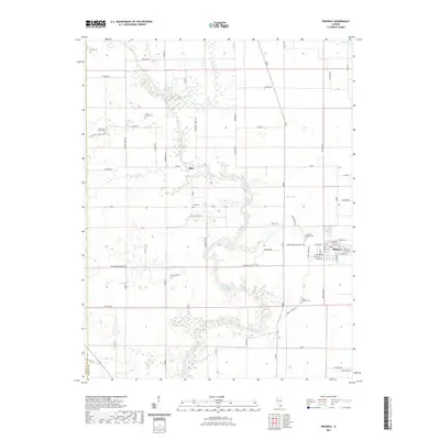
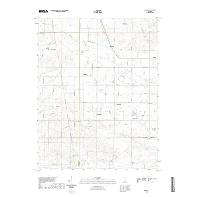
(32)- 2021 Map of Rudement, 2021 Print
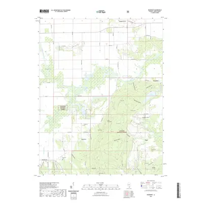 2021 Rudement2021 Print · USGSCovers Saline County, including Derby, Eagle, and other nearby areas
 - 2021 Map of Walpole, 2021 Print
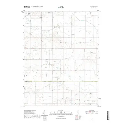 2021 Walpole2021 Print · USGSCovers Saline County, including Long Branch, Olga, and other nearby areas
 - 2021 Map of Ridgway, 2021 Print
 2021 Ridgway2021 Print · USGSCovers Saline County, including Ridgway, Elba, and other nearby areas
 - 2021 Map of Norris City, 2021 Print
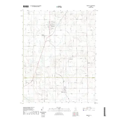 2021 Norris City2021 Print · USGSCovers Saline County, including Norris City, Omaha, and other nearby areas
 - 2021 Map of Harrisburg, 2021 Print
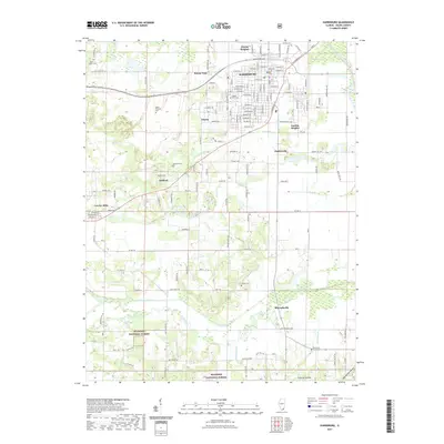 2021 Harrisburg2021 Print · USGSCovers Saline County, including Harrisburg, Carrier Mills, and other nearby areas
 - 2021 Map of Broughton, 2021 Print
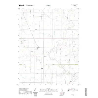 2021 Broughton2021 Print · USGSCovers Saline County, including Broughton, Dale, and other nearby areas
 - 2021 Map of Galatia, 2021 Print
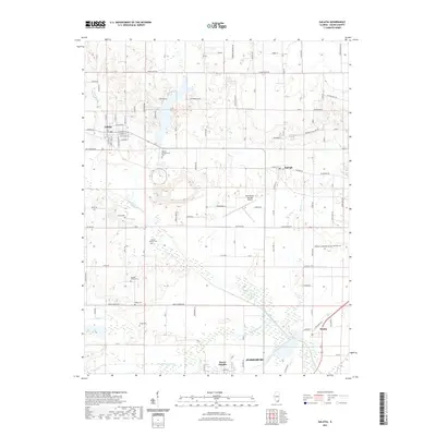 2021 Galatia2021 Print · USGSCovers Saline County, including Harrisburg, Galatia, and other nearby areas
 - 2021 Map of Eldorado, 2021 Print
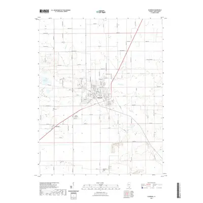 2021 Eldorado2021 Print · USGSCovers Saline County, including Eldorado, Wasson, and other nearby areas
 - 2021 Map of Harco, 2021 Print
 2021 Harco2021 Print · USGSCovers Saline County, including Galatia, Banklick, and other nearby areas
 - 2021 Map of Carrier Mills, 2021 Print
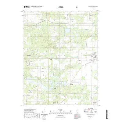 2021 Carrier Mills2021 Print · USGSCovers Saline County, including Carrier Mills, Delta, and other nearby areas
 - 2021 Map of Karbers Ridge, 2021 Print
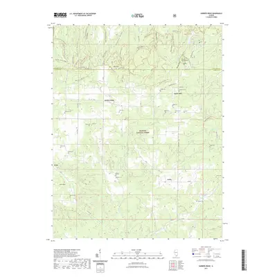 2021 Karbers Ridge2021 Print · USGSCovers Saline County, including Sparks Hill, Gross, and other nearby areas
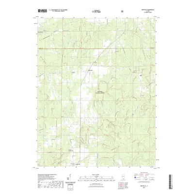
 - 2021 Map of Herod, 2021 Print
 2021 Herod2021 Print · USGSCovers Saline County, including Herod, Hicks, and other nearby areas
 - 2021 Map of Stonefort, 2021 Print
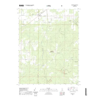 2021 Stonefort2021 Print · USGSCovers Saline County, including Abbot, Watkins Ford, and other nearby areas
 - 2021 Map of Akin, 2021 Print
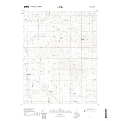 2021 Akin2021 Print · USGSCovers Saline County, including Thompsonville, Akin, and other nearby areas
 - 2021 Map of Equality, 2021 Print
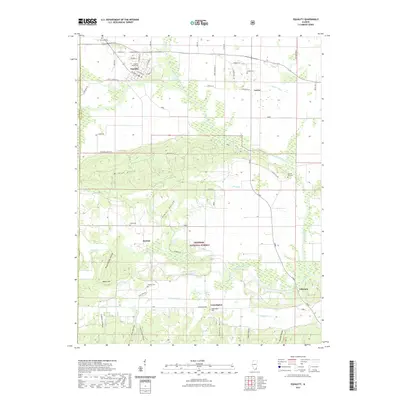 2021 Equality2021 Print · USGSCovers Saline County, including Equality, Kedron, and other nearby areas
 - 2021 Map of Eddyville, 2021 Print
 2021 Eddyville2021 Print · USGSCovers Saline County, including Eddyville, Delwood, and other nearby areas
 - 2024 Map of Norris City, 2024 Print
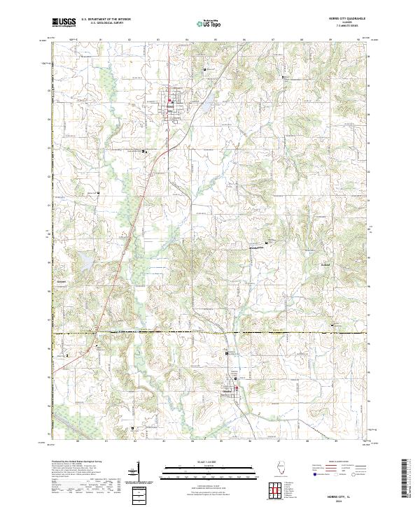 2024 Norris City2024 Print · USGSSouthern Illinois farm country is meticulously detailed in this recent survey of White and Gallatin Counties. Researchers can locate numerous ancestral sites including the Independent Order of Odd Fellows Cem, Hazel Ridge Cem, and the settlement of Roland.
 - 2024 Map of Equality, 2024 Print
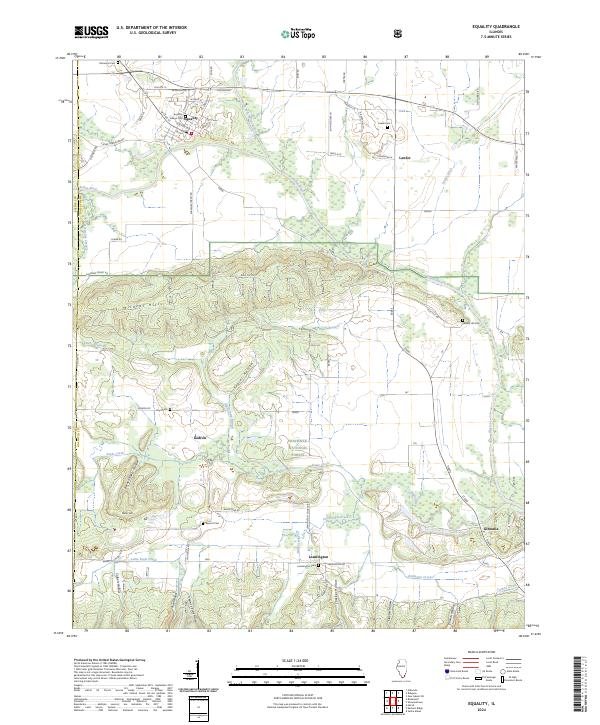 2024 Equality2024 Print · USGSSouthern Illinois hill country meets the Saline River bottomlands in this 2024 look at Gallatin County. Trace family roots at Village Cemetery or Leamington, and explore the ridge-and-hollow terrain of the Wildcat Hills and Shawnee National Forest.
 - 2024 Map of Ridgway, 2024 Print
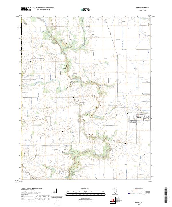 2024 Ridgway2024 Print · USGSGallatin County’s river-carved landscape is shown in detail during the early 2020s, centered on the grid of Ridgway and the winding North Fork Saline River. Family historians can locate numerous rural burial grounds like Garrett Cem and Poplar Cem tucked among winding country roads.
 - 2024 Map of Stonefort, 2024 Print
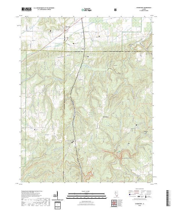 2024 Stonefort2024 Print · USGSSouthern Illinois at the crossroads of Saline, Johnson, and Pope counties reveals a landscape where wilderness and family history overlap. Researchers can trace ancestral sites at Bolton Trammell Cem or explore geologic landmarks like Bell Smith Natural Bridge and Burden Falls.
 - 2024 Map of Eldorado, 2024 Print
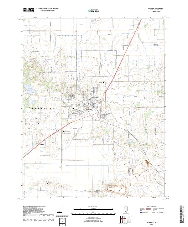 2024 Eldorado2024 Print · USGSSaline County at the present day retains its deep agricultural roots and established small-town centers. Genealogists and historians can locate several family burial grounds like Read Family Cem and Wolf Creek Cem alongside the campus of Southeastern Illinois College.
 - 2024 Map of Walpole, 2024 Print
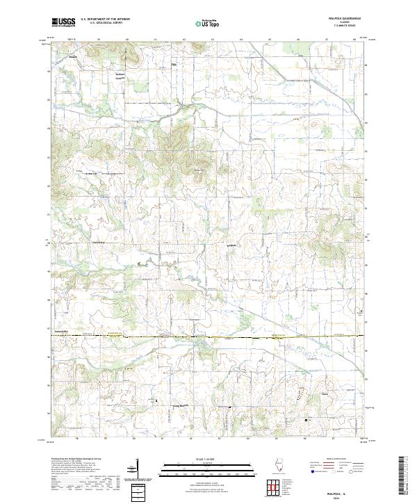 2024 Walpole2024 Print · USGSSouthern Hamilton County's rural landscape is mapped here in the early twenty-first century, showing a region of small settlements and family cemeteries. Genealogists can locate legacy sites like Durham Cem and Barton Cem near the hamlet of Walpole.
 - 2024 Map of Broughton, 2024 Print
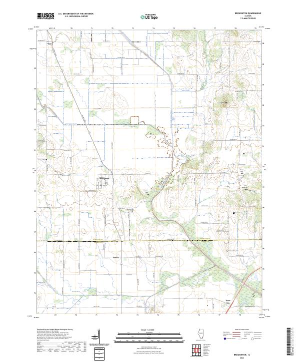 2024 Broughton2024 Print · USGSSouthern Illinois farm country is captured here during the 2020s, revealing the persistent settlement patterns of Hamilton and Saline counties. Family historians can locate several burial sites including Wolfe Cem, Keasler Cem, and the village of Broughton.
 - 2024 Map of Eddyville, 2024 Print
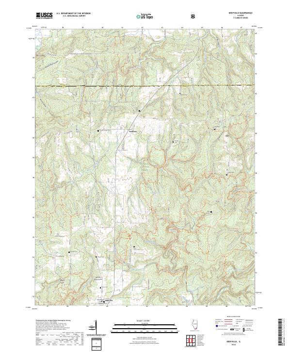 2024 Eddyville2024 Print · USGSPope County and the Shawnee National Forest appear in this contemporary survey of the rural Illinois uplands. Genealogists and historians can trace family roots through numerous burial sites like New Home Cem and Barger Cem or locate regional landmarks such as Jackson Hole.
 - 2024 Map of Carrier Mills, 2024 Print
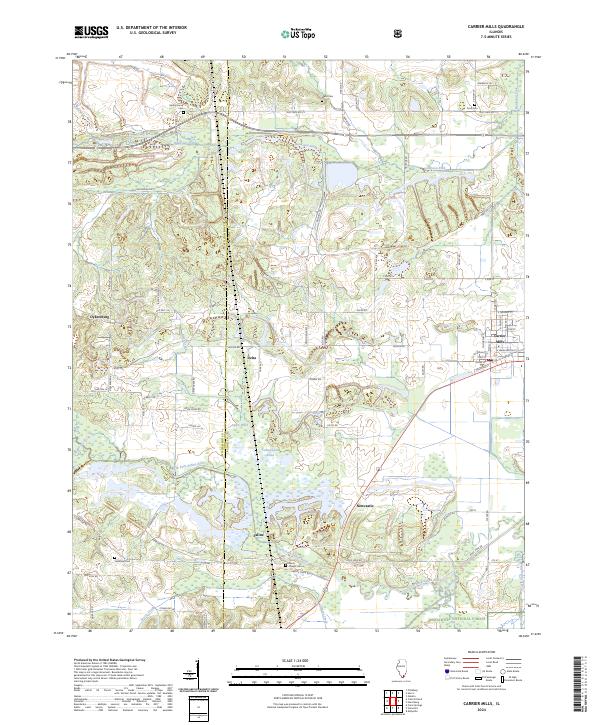 2024 Carrier Mills2024 Print · USGSCarrier Mills and the surrounding Saline County countryside are shown here at the intersection of industry and the great outdoors. Researchers can locate family roots at Spring Grove Cem or trace the early paths of Dykersburg and Delta near the Bankston Fork.
Showing maps 1-25 of 32
Top cities of Saline County
- Harrisburg historical maps
- Eldorado historical maps
- Carrier Mills historical maps
- Galatia historical maps
- Raleigh historical maps
- Long Branch historical maps
See more
Frequently asked questions
- What are the different types of historical maps available for Saline County?
- What is the oldest map of Saline County?
- Where can I purchase historical maps of Saline County for my home or office?
- Where can I download high-res historical maps of Saline County?
- Are there historical topographic maps available for Saline County?
- Is there historical aerial imagery available for Saline County?
- Where are historical maps of Saline County sourced from?