Old Maps of Saline County, Illinois for Academic Research
Study the evolution of Saline County with 59 high-resolution historic maps. Whether you're teaching, researching, or modeling changes in land use, these maps provide essential visual documentation of urban, environmental, and geographic change.
- Analyze long-term change: Track patterns in development, transportation, and natural features.
- Ideal for environmental or urban studies: Support academic projects with primary historical map data.
- Use in the classroom or lab: Educators and researchers rely on these maps to bring historical context to life.
These maps are a powerful tool for teaching, research, and visualizing how Saline County has changed over the decades.
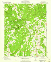
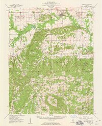
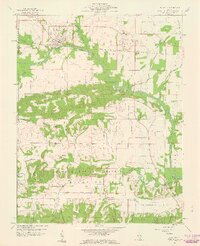
Saline County, IL maps
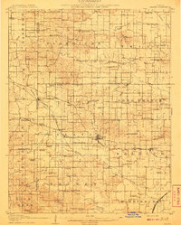
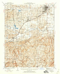
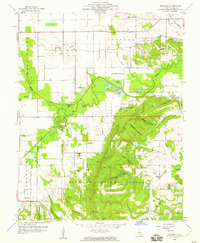
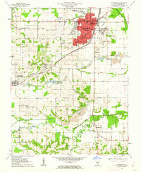
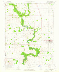
(59)- 1905 Map of Eldorado, 1954 Print
 1905 Eldorado1954 Print · USGSCovers Saline County, including Eldorado, Norris City, and other nearby areas
 - 1906 Map of Eldorado
 1906 Eldorado1906 Print · USGSCovers Saline County, including Eldorado, Norris City, and other nearby areas2 unique versions available
 - 1908 Map of Galatia
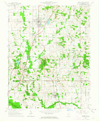
 1908 Galatia1908 Print · USGSCovers Saline County, including Harrisburg, Galatia, and other nearby areas2 unique versions available
 - 1916 Map of Equality
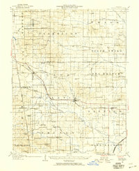
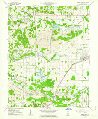
 1916 Equality1916 Print · USGSCovers Saline County, including Equality, Gibsonia, and other nearby areas4 unique versions available
 - 1925 Map of Harrisburg
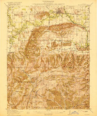
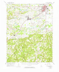
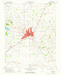
 1925 Harrisburg1925 Print · USGSCovers Saline County, including Harrisburg, Carrier Mills, and other nearby areas3 unique versions available
 - 1938 Map of Galatia, 1959 Print
 1938 Galatia1959 Print · USGSCovers Saline County, including Harrisburg, Galatia, and other nearby areas
 - 1939 Map of Harrisburg, 1959 Print
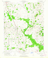
 1939 Harrisburg1959 Print · USGSCovers Saline County, including Harrisburg, Carrier Mills, and other nearby areas
 - 1949 Map of Paducah
 1949 Paducah1949 Print · USGSCovers Saline County, including Cape Girardeau, Paducah, and other nearby areas2 unique versions available
 - 1950 Map of Paducah
 1950 Paducah1950 Print · USGSCovers Saline County, including Cape Girardeau, Paducah, and other nearby areas
 - 1954 Map of Paducah
 1954 Paducah1954 Print · USGSCovers Saline County, including Cape Girardeau, Paducah, and other nearby areas2 unique versions available
 - 1959 Map of Herod, 1960 Print
 1959 Herod1960 Print · USGSCovers Saline County, including Hicks, Hartsville, and other nearby areas3 unique versions available
 - 1959 Map of Equality, 1960 Print
 1959 Equality1960 Print · USGSCovers Saline County, including Equality, Gibsonia, and other nearby areas2 unique versions available
 - 1959 Map of Equality, 1960 Print
 1959 Equality1960 Print · USGSCovers Saline County, including Equality, Gibsonia, and other nearby areas3 unique versions available
 - 1959 Map of Rudement, 1960 Print
 1959 Rudement1960 Print · USGSCovers Saline County, including Cottage Grove, Rudement, and other nearby areas3 unique versions available
 - 1959 Map of Karbers Ridge, 1960 Print
 1959 Karbers Ridge1960 Print · USGSCovers Saline County, including Karbers Ridge, Gross, and other nearby areas3 unique versions available
 - 1961 Map of Paducah
 1961 Paducah1961 Print · USGSCovers Saline County, including Cape Girardeau, Paducah, and other nearby areas2 unique versions available
 - 1961 Map of Stonefort, 1962 Print
 1961 Stonefort1962 Print · USGSCovers Saline County, including Stonefort, Oldtown, and other nearby areas2 unique versions available
 - 1961 Map of Eddyville, 1962 Print
 1961 Eddyville1962 Print · USGSCovers Saline County, including Eddyville, Delwood, and other nearby areas3 unique versions available
 - 1961 Map of Harrisburg, 1962 Print
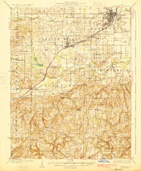
 1961 Harrisburg1962 Print · USGSCovers Saline County, including Harrisburg, Carrier Mills, and other nearby areas2 unique versions available
 - 1961 Map of Carrier Mills, 1962 Print
 1961 Carrier Mills1962 Print · USGSCovers Saline County, including Carrier Mills, Stonefort, and other nearby areas3 unique versions available
 - 1961 Map of Harrisburg, 1965 Print
 1961 Harrisburg1965 Print · USGSCovers Saline County, including Harrisburg, Carrier Mills, and other nearby areas
 - 1963 Map of Broughton, 1964 Print
 1963 Broughton1964 Print · USGSCovers Saline County, including Broughton, Dale, and other nearby areas
 - 1963 Map of Ridgway, 1964 Print
 1963 Ridgway1964 Print · USGSCovers Saline County, including Ridgway, Elba, and other nearby areas2 unique versions available
 - 1963 Map of Eldorado, 1964 Print
 1963 Eldorado1964 Print · USGSCovers Saline County, including Eldorado, Saline City, and other nearby areas
 - 1963 Map of Norris City, 1964 Print
 1963 Norris City1964 Print · USGSCovers Saline County, including Norris City, Omaha, and other nearby areas2 unique versions available
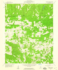
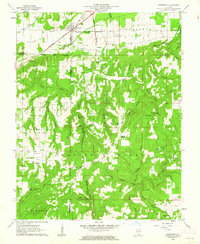
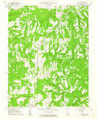
Showing maps 1-25 of 59
Top cities of Saline County
- Harrisburg historical maps
- Eldorado historical maps
- Carrier Mills historical maps
- Galatia historical maps
- Raleigh historical maps
- Long Branch historical maps
See more
Frequently asked questions
- What are the different types of historical maps available for Saline County?
- What is the oldest map of Saline County?
- Where can I purchase historical maps of Saline County for my home or office?
- Where can I download high-res historical maps of Saline County?
- Are there historical topographic maps available for Saline County?
- Is there historical aerial imagery available for Saline County?
- Where are historical maps of Saline County sourced from?