2000s (21st Century) Maps of Saline County, Illinois
Explore 80 historic maps of Saline County from the 2000s (21st Century). These maps offer a rare glimpse into what life looked like during the 2000s — showing old roads, neighborhoods, homes, and landmarks that have changed or disappeared over time.
Whether you're researching your family's past, planning a metal detecting trip, or studying how Saline County's landscape evolved across the 2000s, these high-resolution maps are a powerful tool for exploring the history of this region.
- Focus on a specific era: All maps on this page are from the 2000s, giving you a focused view of this time period.
- See what’s changed: Compare century-old streets, trails, and buildings to today's modern landscape using overlays and satellite layers.
- Research with precision: Use these maps for genealogy, historical research, land use analysis, or educational projects.
- View, download, or print: Maps are fully viewable online in high resolution, and can be downloaded or printed for your own records.
Start exploring Saline County's history through authentic maps from the 2000s. This is your window into the past.
Saline County, IL maps
(80)- 2012 Map of Akin, 2012 Print
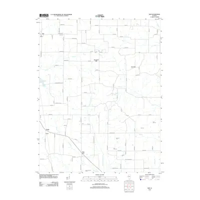 2012 Akin2012 Print · USGSAgricultural life in southern Illinois is documented here through its small-town hubs and rural cemetery networks. Genealogists can trace family names at Brady Cem and Good Hope Cem, or locate historic crossroads like Akin and West End.
 - 2012 Map of Ridgway, 2012 Print
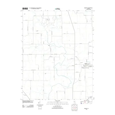 2012 Ridgway2012 Print · USGSGallatin County's river-fed lowlands are captured here in the early twenty-first century, showing a landscape defined by the N Fork Saline River. Researchers can trace local heritage through numerous burial grounds like Union Chapel Cem or locate the Omaha Oil and Gas Field.
 - 2012 Map of Walpole, 2012 Print
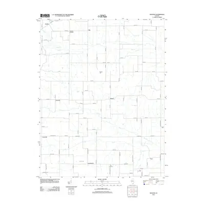 2012 Walpole2012 Print · USGSSouthern Illinois agricultural lands and rural crossroads come into focus in this early 21st-century survey. Genealogists and local historians can trace family-named sites like Barton Family Cemetery, Tuckers Corners, and the settlement at Walpole.
 - 2012 Map of Eldorado, 2012 Print
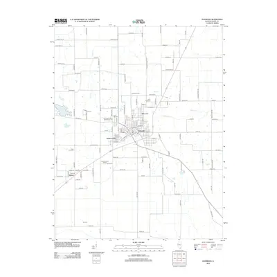 2012 Eldorado2012 Print · USGSSouthern Illinois at the start of the 2010s reveals a mix of established coal and oil country settlements. Genealogists can locate family burial plots at Dodd Family Cem or Read Family Cem and trace the limits of the Eldorado Oil Field near Beulah Heights.
 - 2012 Map of Broughton, 2012 Print
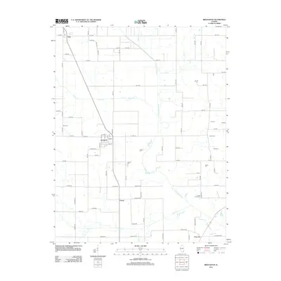 2012 Broughton2012 Print · USGSBroughton and the surrounding Hamilton County countryside are documented here in the early twenty-first century. Genealogists can locate numerous burial grounds across the rural landscape, including Barker Cem, Wolfe Cem, and the Gaines Family Cem.
 - 2012 Map of Galatia, 2012 Print
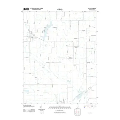 2012 Galatia2012 Print · USGSSaline County at the start of the 2010s reveals a landscape of small villages and ancestral farmsteads. Genealogists can trace family lines through numerous rural burial sites including Simpson Family Cem, Bramlet Family Cem, and Tuttle Cem.
 - 2012 Map of Norris City, 2012 Print
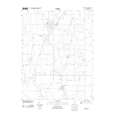 2012 Norris City2012 Print · USGSNorris City and Omaha anchor this Southern Illinois landscape in the early 2010s. Genealogists can trace family footprints across numerous sites like the Independent Order of Odd Fellows Cem, Old Village Cem, and the small settlement of Middlepoint.
 - 2012 Map of Harco, 2012 Print
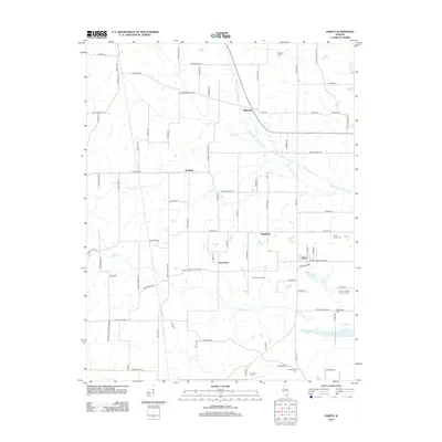 2012 Harco2012 Print · USGSSaline County’s rural landscape is captured here in the early twenty-first century, showing the small agricultural hubs and family homesteads of southern Illinois. Genealogists and local historians can locate several family burial grounds, including Old Ruff Cem, Winkleman Cem, and Abney Family Cem.
 - 2012 Map of Harrisburg, 2012 Print
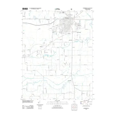 2012 Harrisburg2012 Print · USGSSaline County enters the early twenty-first century with its county seat and surrounding rural settlements firmly established along the Saline River forks. Genealogists can locate numerous small family burial sites including Moore-Vinson Family Cem, Ledford Family Cem, and Gulley Cem.
 - 2012 Map of Karbers Ridge, 2012 Print
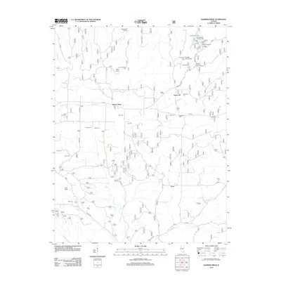 2012 Karbers Ridge2012 Print · USGSSparks Hill and the surrounding Hardin County highlands are captured here in the early twenty-first century. Family historians can locate dozens of burial sites like Sneed Cem and Pleasant Hill Cem, or trace the rugged geography of Hicks Dome and Pounds Escarpment.
 - 2012 Map of Eddyville, 2012 Print
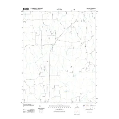 2012 Eddyville2012 Print · USGSSouthern Illinois hill country is captured here during the early twenty-first century, showing a landscape defined by small rural settlements and deep-rooted family sites. Genealogists can trace lineage through numerous burial grounds like Evans Cem, Barger Cem, and New Liberty Cem.
 - 2012 Map of Equality, 2012 Print
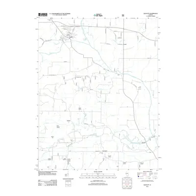 2012 Equality2012 Print · USGSGallatin County during the early twenty-first century reveals a landscape defined by the winding Saline River and its many tributaries. Genealogists can trace family roots through sites like Equality Village Cem, the settlement of Leamington, and the Eagle Ripple Ford crossing.
 - 2012 Map of Rudement, 2012 Print
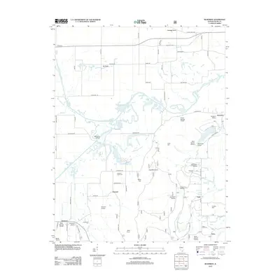 2012 Rudement2012 Print · USGSSaline County at the start of the 2010s reveals a landscape of high ridges and deep hollows. Genealogists and historians can trace family roots through sites like Big Saline Church Cem, Stone Face, and the small settlement of Rudement.
 - 2012 Map of Herod, 2012 Print
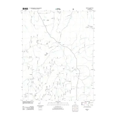 2012 Herod2012 Print · USGSThe Shawnee National Forest region comes into focus during the early twenty-first century, showing a landscape defined by deep ridges and small rural settlements. Researchers can locate numerous family burial sites like Stuby Cem and explore the geography of One Horse Gap and Williams Hill.
 - 2012 Map of Stonefort, 2012 Print
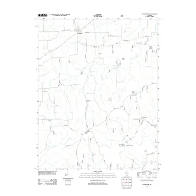 2012 Stonefort2012 Print · USGSSouthern Illinois at the start of the twenty-first century reveals a landscape of deep-cut hollows and small farming settlements. Genealogists and hikers can trace family sites like Blackman Cem and Joyner Cem or explore landmarks such as Burden Falls and Stonefort Bluff.
 - 2012 Map of Carrier Mills, 2012 Print
 2012 Carrier Mills2012 Print · USGSCarrier Mills and the surrounding Saline County countryside are shown here at the start of the twenty-first century. Researchers can trace rural lineages at Trout Family Cem and Barter Cem or explore the coal-country history along Haulage Rd and Tipple Rd.
 - 2015 Map of Ridgway, 2015 Print
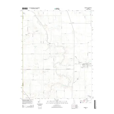 2015 Ridgway2015 Print · USGSGallatin County’s river-carved landscape is shown here in the mid-2010s, centered on the historic village of Ridgway. Researchers can locate numerous rural burial grounds and old crossroads, such as Union Chapel Cem, Saint Josephs Cem, and the settlement of Elba.
 - 2015 Map of Rudement, 2015 Print
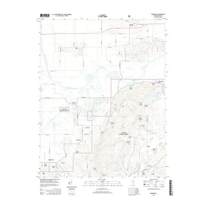 2015 Rudement2015 Print · USGSSouthern Illinois during the mid-2010s shows a landscape of deep hollows and forest ridges preserved within the Shawnee National Forest. Genealogists can locate family landmarks like Blockhouse Cem and Jones Cem near the banks of the Saline River.
 - 2015 Map of Carrier Mills, 2015 Print
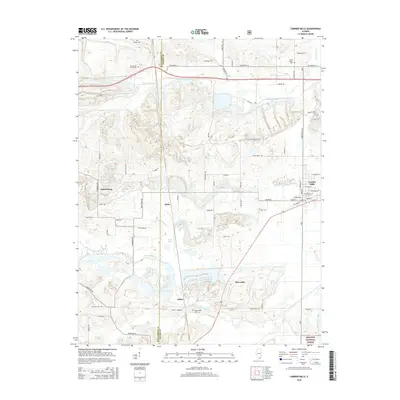 2015 Carrier Mills2015 Print · USGSThe rural landscapes of Saline County are shown here in the mid-2010s, where mining history and small-town life converge. Family researchers can trace local roots through sites like Trout Family Cem and the settlements of Delta or Newcastle.
 - 2015 Map of Equality, 2015 Print
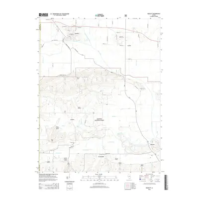 2015 Equality2015 Print · USGSGallatin County’s landscape is captured here in the mid-2010s, showing the intersection of the Saline River with the northern edge of the Shawnee National Forest. Genealogists can trace family sites at Equality Village Cem, Barnett Cem, and the old settlement of Kedron.
 - 2015 Map of Herod, 2015 Print
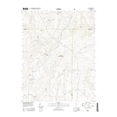 2015 Herod2015 Print · USGSSouthern Illinois hill country is captured here in the mid-2010s, showing the intersection of three counties within the Shawnee National Forest. Genealogists can locate dozens of remote burial sites like Old Grandpierre Cem and Lavender Cem near the settlement of Herod.
 - 2015 Map of Walpole, 2015 Print
 2015 Walpole2015 Print · USGSThe rural borderlands of Hamilton and Saline Counties come into focus in this contemporary survey of southern Illinois. Genealogists and local historians can trace family locations and community hubs like Rhine Church, Barton Family Cem, and Walpole.
 - 2015 Map of Norris City, 2015 Print
 2015 Norris City2015 Print · USGSThis rural Southern Illinois landscape at the White and Gallatin County border is a rich resource for genealogists. Trace family ties at numerous burial grounds, including the Independent Order of Odd Fellows Cem and Ditney Ridge Cem, or explore the small communities of Norris City and Omaha.
 - 2015 Map of Harco, 2015 Print
 2015 Harco2015 Print · USGSSoutheastern Illinois reveals its rural character in the twenty-first century as the borders of three counties meet along the Middle Fork Saline River. Genealogists and local historians can trace family land near Rileyville and Harco, or locate ancestral burial sites at the Abney Family Cem and Locust Grove Cem.
 - 2015 Map of Stonefort, 2015 Print
 2015 Stonefort2015 Print · USGSSouthern Illinois at the junction of four counties is captured here in the mid-2010s, showing a landscape of deep hollows and forest settlements. Genealogists and hikers can locate numerous burial grounds like Old Zion Cem or visit the Bell Smith Natural Bridge.
Showing maps 1-25 of 80
Top cities of Saline County
- Harrisburg historical maps
- Eldorado historical maps
- Carrier Mills historical maps
- Galatia historical maps
- Raleigh historical maps
- Long Branch historical maps
See more
Frequently asked questions
- What are the different types of historical maps available for Saline County?
- What is the oldest map of Saline County?
- Where can I purchase historical maps of Saline County for my home or office?
- Where can I download high-res historical maps of Saline County?
- Are there historical topographic maps available for Saline County?
- Is there historical aerial imagery available for Saline County?
- Where are historical maps of Saline County sourced from?