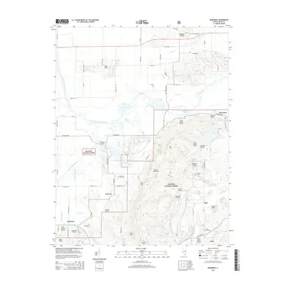
2015 Map of Rudement
USGS Topo · Published 2015About this map
The Shawnee National Forest dominates the topography of this southern Illinois landscape, where the rugged elevations of the Eagle Mountains and Cave Hill rise above the surrounding river basins. Local genealogy is anchored by several small family and community burial sites, including the Big Saline Church Cem and Colbert Family Cem. The drainage patterns of the Middle Fork Saline River and South Fork Saline River have shaped the settlement locations of rural communities like Somerset and Rudement. Historical land use is evident in the numerous named hollows, such as Stillhouse Hollow and Three Springs Hollow, which suggest a legacy of water-dependent local industry and early habitation sites tucked into the limestone ridges.
Find a feature on this map
86 named features on this map. Tap any name to fly to it.
Don’t see what you’re looking for? This feature index may not catch every label — zoom into the map to look around manually.
Map Details
Editions of this 2015 Rudement Map
This is the sole edition of this map. No revisions or reprints were ever made.
Other maps of this area

1905 · Eldorado
USGS Topo · 1:62,500

1906 · Eldorado
USGS Topo · 1:62,500

1908 · Galatia
USGS Topo · 1:62,500

1916 · Equality
USGS Topo · 1:62,500

1925 · Harrisburg
USGS Topo · 1:62,500

1938 · Galatia
USGS Topo · 1:62,500

1939 · Harrisburg
USGS Topo · 1:62,500

1949 · Paducah
USGS Topo · 1:250,000

1950 · Paducah
USGS Topo · 1:250,000

1954 · Paducah
USGS Topo · 1:250,000