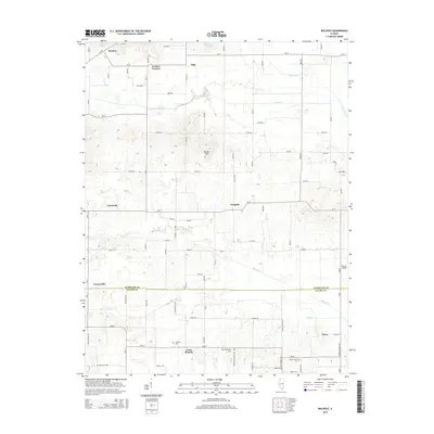
2015 Map of Walpole
USGS Topo · Published 2015About this map
Walpole and the surrounding farmland of Hamilton and Saline Counties are defined by a network of rural crossroads and drainage systems in this 2015 study. The landscape is punctuated by family heritage sites and local landmarks, from the Barton Family Cem and Durham Cem to the prominent rise of Bunker Hill. Small community centers such as Cornerville, Olga, and Tison anchor the grid of country roads, while the waters of Rector Cr and Long Br trace the natural lowlands of the region. The presence of Rhine Church near the southern boundary reflects the long-standing social fabric of this agricultural area. This map provides a clear view of the modern rural infrastructure, showing how local roads like Possum Flat Rd and Tates Chapel Rd connect these historic southern Illinois settlements.
Find a feature on this map
38 named features on this map. Tap any name to fly to it.
Don’t see what you’re looking for? This feature index may not catch every label — zoom into the map to look around manually.
Map Details
Editions of this 2015 Walpole Map
This is the sole edition of this map. No revisions or reprints were ever made.
Other maps of this area

1905 · Eldorado
USGS Topo · 1:62,500

1906 · Eldorado
USGS Topo · 1:62,500

1908 · Galatia
USGS Topo · 1:62,500

1938 · Galatia
USGS Topo · 1:62,500

1941 · Enfield
USGS Topo · 1:62,500

1942 · McLeansboro
USGS Topo · 1:62,500

1944 · Enfield
USGS Topo · 1:62,500

1945 · McLeansboro
USGS Topo · 1:62,500

1949 · Paducah
USGS Topo · 1:250,000

1950 · Paducah
USGS Topo · 1:250,000