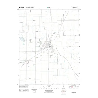
2012 Map of Eldorado
USGS Topo · Published 2012About this map
Eldorado serves as the primary hub of this southern Illinois landscape, surrounded by a network of smaller communities and rural homesteads. The town's expansion is evident in neighborhoods like Beulah Heights, while outlying areas like Saline City and Wasson maintain a more dispersed character. Industrial activity is grounded in the Eldorado Oil Field, north of the main settlement, reflecting the region's reliance on natural resource extraction. This 2012 survey documents a landscape where agricultural tracts are divided by historic routes such as Goshen Trail Rd and Murray Hill RD. For genealogists, the map is particularly detailed regarding burial sites, including the Wolf Creek Primitive Baptist Church Cem, Dodd Family Cem, and Read Family Cem. Water features such as Indian Cr, Brush Cr, and the Eldorado Reservoir define the drainage patterns across the terrain.
Find a feature on this map
119 named features on this map. Tap any name to fly to it.
Don’t see what you’re looking for? This feature index may not catch every label — zoom into the map to look around manually.
Map Details
Editions of this 2012 Eldorado Map
This is the sole edition of this map. No revisions or reprints were ever made.
Other maps of this area

1905 · Eldorado
USGS Topo · 1:62,500

1906 · Eldorado
USGS Topo · 1:62,500

1908 · Galatia
USGS Topo · 1:62,500

1916 · Equality
USGS Topo · 1:62,500

1925 · Harrisburg
USGS Topo · 1:62,500

1938 · Galatia
USGS Topo · 1:62,500

1939 · Harrisburg
USGS Topo · 1:62,500

1949 · Paducah
USGS Topo · 1:250,000

1950 · Paducah
USGS Topo · 1:250,000

1954 · Paducah
USGS Topo · 1:250,000