1900s (20th Century) Maps of Rushville, Illinois
Explore 12 historic maps of Rushville from the 1900s (20th Century). These maps offer a rare glimpse into what life looked like during the 1900s — showing old roads, neighborhoods, homes, and landmarks that have changed or disappeared over time.
Whether you're researching your family's past, planning a metal detecting trip, or studying how Rushville's landscape evolved across the 1900s, these high-resolution maps are a powerful tool for exploring the history of this region.
- Focus on a specific era: All maps on this page are from the 1900s, giving you a focused view of this time period.
- See what’s changed: Compare century-old streets, trails, and buildings to today's modern landscape using overlays and satellite layers.
- Research with precision: Use these maps for genealogy, historical research, land use analysis, or educational projects.
- View, download, or print: Maps are fully viewable online in high resolution, and can be downloaded or printed for your own records.
Start exploring Rushville's history through authentic maps from the 1900s. This is your window into the past.
Rushville, IL maps
(12)- 1923 Map of Rushville, 1958 Print
 1923 Rushville1958 Print · USGSSchuyler County's agricultural and social landscape is captured here in the early 1920s, centered on the rail terminus at Rushville. Genealogists and historians can trace numerous rural schools and churches, including Muley School, Ebenezer Church, and Pokeberry School.
 - 1926 Map of Rushville
 1926 Rushville1926 Print · USGSSchuyler and Brown counties appear in the mid-1920s as a landscape of small farmsteads and rural social hubs. Genealogists and historians can trace an extraordinary density of local institutions, from White Frame School to the Ebenezer Church and the rails of the Chicago Burlington and Quincy.2 unique versions available
 - 1958 Map of Burlington, 1968 Print
 1958 Burlington1968 Print · USGSThe tri-state river country of Iowa, Illinois, and Missouri is captured here in the mid-fifties, dominated by the Mississippi River and major rail lines. Genealogists and historians can trace the development of river towns like Keokuk or locate the sprawling Iowa Army Ammunition Plant.4 unique versions available
 - 1961 Map of Burlington
 1961 Burlington1961 Print · USGSThe tri-state borderlands along the Mississippi River are captured here during the late fifties and early sixties, showing the vital river-and-rail economy of Iowa, Illinois, and Missouri. Genealogists and historians can trace the development of major hubs like Galesburg and Macomb alongside landmark sites such as the Iowa Ordnance Plant and the historic river town of Nauvoo.
 - 1963 Map of Burlington
 1963 Burlington1963 Print · USGSThe tri-state river country of the Mississippi and Illinois valleys comes alive in this mid-century survey. Genealogists and historians can trace the industrial and academic growth of the region, from the Iowa Ordnance Plant to campuses like Knox College and Western Illinois University.
 - 1975 Map of Rushville SE, 1976 Print
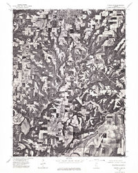 1975 Rushville SE1976 Print · USGSSchuyler County farmland and the southern outskirts of Rushville are captured in high detail during the mid-seventies. Trace the winding course of the La Moine River and examine the precise layout of local timber and farm fields.
 - 1975 Map of Rushville NE, 1976 Print
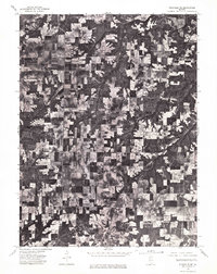 1975 Rushville NE1976 Print · USGSSchuyler County farmland is captured in sharp aerial detail during the mid-seventies, showing the rural landscape between Littleton and Rushville. Researchers can trace old property lines and the wooded breaks of Sugar Creek.
 - 1981 Map of Rushville South
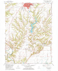 1981 Rushville South1981 Print · USGSSchuyler County life in the early eighties centers on the growth of Rushville and the recreation area around Schuy-Rush Lake. Researchers can locate numerous family burial sites like Haardscrabble Cem or find the Full Gospel Ch near Sugar Grove.
 - 1981 Map of Rushville North
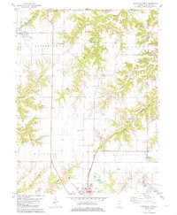 1981 Rushville North1981 Print · USGSSchuyler County as it appeared in the early 1980s shows the transition from the farms of Littleton to the bustling northern edge of Rushville. Local historians can trace old family burial grounds like Bader Cem and Gillenwater Cem alongside the tracks of the Burlington Northern.
 - 1985 Map of Macomb
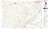 1985 Macomb1985 Print · USGSWest Central Illinois in the mid-eighties shows a robust network of river towns and rail corridors spanning from the Illinois River to the Lamoine. Genealogists and historians can trace the foundations of Macomb, find rural landmarks like Pennington Point, or locate early conservation sites like Argyle Lake State Park.
 - 1989 Map of Macomb
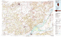 1989 Macomb1989 Print · USGSWest Central Illinois in the late eighties shows a landscape of river-bottom conservation and rail-town commerce. Researchers can trace the extensive wetlands of the Illinois River or locate historic transport hubs in Macomb, Colchester, and Beardstown.
 - 1990 Map of Burlington
 1990 Burlington1990 Print · USGSThe tri-state confluence of Iowa, Illinois, and Missouri is mapped here at the end of the twentieth century. Genealogists and historians can trace the riverfront heritage of Burlington, Keokuk, and Fort Madison, or locate sites like the Battle of Athens State Historic Site.2 unique versions available
End of results
Showing maps 1-12 of 12
Top cities near Rushville
- Beardstown historical maps
- Mount Sterling historical maps
- Astoria historical maps
- Bluff Springs historical maps
- Vermont historical maps
- Industry historical maps
See more
Frequently asked questions
- What are the different types of historical maps available for Rushville?
- What is the oldest map of Rushville?
- Where can I purchase historical maps of Rushville for my home or office?
- Where can I download high-res historical maps of Rushville?
- Are there historical topographic maps available for Rushville?
- Is there historical aerial imagery available for Rushville?
- Where are historical maps of Rushville sourced from?