Old Maps of Water Valley, Illinois for Metal Detecting
Plan your next treasure hunt with 17 historic maps of Water Valley. Find old homesites, ghost towns, trails, and gathering spots that may be lost to time — perfect for identifying promising metal detecting locations.
- Locate forgotten sites: Uncover places like long-lost settlements, abandoned rail lines, or gathering spots.
- Plan better hunts: Use map overlays combined with LiDAR or satellite views to narrow in on historically rich areas.
- Made for detectorists: Thousands of hobbyists use these maps to discover relics, coins, and hidden history.
Use these historic maps to boost your research and find new opportunities beneath the surface of Water Valley.
Water Valley, IL maps
(17)- 1922 Map of Carbondale
 1922 Carbondale1922 Print · USGSSouthern Illinois in the early 1920s is captured here at the height of its rail-driven rural development. Genealogists can trace family connections through dozens of named rural sites like Stone School, Cottage Home Church, and the Illinois Central corridor.3 unique versions available
 - 1941 Map of Carbondale, 1955 Print
 1941 Carbondale1955 Print · USGSSouthern Illinois was undergoing a transformation in the early 1940s as new reservoirs reshaped the topography near Carbondale. Researchers can trace rural life through dozens of named sites like Clemmenstown School and South County Line Church.2 unique versions available
 - 1949 Map of Paducah
 1949 Paducah1949 Print · USGSThe confluence of the Ohio, Mississippi, Tennessee, and Cumberland rivers at the close of the 1940s reveals a region bound by water and rail. Researchers can trace historic river landings, timberlands in the Shawnee National Forest, and the coal-mining infrastructure around West Frankfort and Herrin.2 unique versions available
 - 1950 Map of Paducah
 1950 Paducah1950 Print · USGSThe confluence of the great midwestern rivers defines this mid-century landscape at the intersection of Illinois, Kentucky, and Missouri. Genealogists and historians can trace the rail-and-river economy through the hubs of Paducah, Cairo, and Metropolis or locate family roots near the Wildcat Hills.
 - 1954 Map of Paducah
 1954 Paducah1954 Print · USGSSouthern Illinois and Western Kentucky intersect at the great river confluences during this mid-century era of rail and river industry. Genealogists and historians can trace family roots and commerce through river towns like Cairo, Metropolis, and Golconda, or along the tracks of the Illinois Central Railroad.2 unique versions available
 - 1961 Map of Paducah
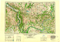 1961 Paducah1961 Print · USGSThe Lower Ohio Valley at mid-century is a landscape defined by its great rivers and newly formed reservoirs. Researchers can trace the riverfronts of Paducah and Metropolis, or locate smaller settlements like Old Shawneetown and Cave in Rock along the banks.2 unique versions available
 - 1964 Map of Paducah
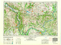 1964 Paducah1964 Print · USGSThe river-and-rail corridor of Southern Illinois and Western Kentucky is captured here during the height of the mid-century industrial era. Genealogists and researchers can trace local landmarks across several counties, from the rail yards of Paducah to the waters of Crab Orchard Lake and Kentucky Reservoir.2 unique versions available
 - 1966 Map of Makanda, 1967 Print
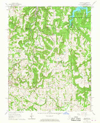 1966 Makanda1967 Print · USGSSouthern Illinois at the height of the mid-century shows a landscape of dense forests and rural settlements at the edge of the Ozarks. Trace family history through dozens of landmarks like Evergreen Cem, Water Valley, and the Stone Fort at Giant City State Park.3 unique versions available
 - 1984 Map of Carbondale, 1985 Print
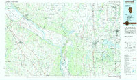 1984 Carbondale1985 Print · USGSSouthern Illinois in the mid-1980s was a crossroads of major rail lines and vast conservation lands centered on Carbondale. Local researchers can trace the development of Southern Illinois University, the Menard Correctional Center, and the many shorelines of Crab Orchard Lake.
 - 1986 Map of Carbondale
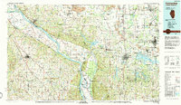 1986 Carbondale1986 Print · USGSSouthern Illinois and the Mississippi River valley are captured in the mid-eighties as a landscape of diverse water systems and conservation lands. Researchers can trace the development of Southern Illinois University or locate landmarks like Fort Gage and St Marys Seminary.
 - 1987 Map of Paducah, 1988 Print
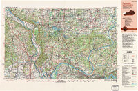 1987 Paducah1988 Print · USGSThe Lower Ohio Valley and the Illinois Ozarks come alive in this late twentieth-century regional survey. Genealogists and local historians can trace river-town roots and state park landmarks from Metropolis to Cape Girardeau and Trail of Tears State Park.
 - 1996 Map of Makanda, 1998 Print
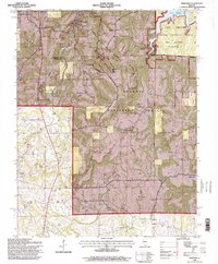 1996 Makanda1998 Print · USGSSouthern Illinois in the mid-nineties shows a landscape deeply defined by conservation and recreation within the Shawnee National Forest. Researchers can trace rural lineages through numerous family sites like Kelley Cem and Evergreen Cem or locate the historic Stone Fort.
 - 2012 Map of Makanda, 2012 Print
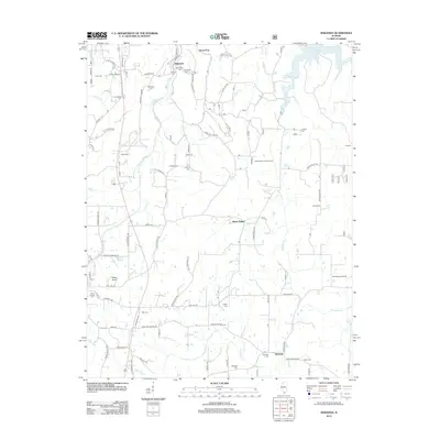 2012 Makanda2012 Print · USGSSouthern Illinois hill country comes alive in the early twenty-first century, showing a landscape defined by high ridges and deep-seated family history. Genealogists can trace a wealth of burial sites including Sheppard Cem, Treece Cem, and Sitter Cem.
 - 2015 Map of Makanda, 2015 Print
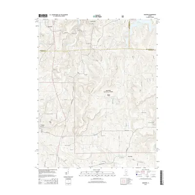 2015 Makanda2015 Print · USGSSouthern Illinois hill country appears in high detail during the mid-2010s, centering on the wooded ridges of the Shawnee National Forest. Researchers can locate dozens of family burial sites like Lirley Cem and Vancil Cem or trace the early course of the Cache River.
 - 2018 Map of Makanda, 2018 Print
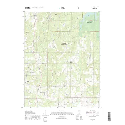 2018 Makanda2018 Print · USGSNear the northern reaches of the Shawnee National Forest in the late 2010s, this area reveals a landscape of high ridges and rural settlements. Genealogists and historians can locate numerous family burial sites such as Vancil Cemetery, Rich Cemetery, and the ancient landmark of Stone Fort.
 - 2021 Map of Makanda, 2021 Print
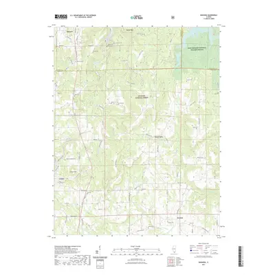 2021 Makanda2021 Print · USGSSouthern Illinois in the modern era shows a landscape of deep conservation and rural heritage near Cobden. Researchers can trace decades of family history through features like Saint Joseph Cem, Saratoga, and the waters of Little Grassy Lake.
 - 2024 Map of Makanda, 2024 Print
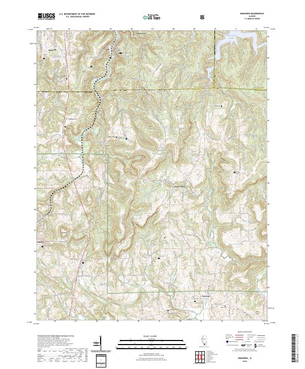 2024 Makanda2024 Print · USGSSouthern Illinois at the edge of the Shawnee National Forest comes to life in this detailed survey of the Jackson and Union county border. Researchers can trace family history through sites like Makanda Cem or explore the rugged terrain near Tiptop Knob and Little Grassy Lake.
End of results
Showing maps 1-17 of 17
Top cities near Water Valley
- Carbondale historical maps
- Marion historical maps
- Herrin historical maps
- Murphysboro historical maps
- Carterville historical maps
- Anna historical maps
See more
Frequently asked questions
- What are the different types of historical maps available for Water Valley?
- What is the oldest map of Water Valley?
- Where can I purchase historical maps of Water Valley for my home or office?
- Where can I download high-res historical maps of Water Valley?
- Are there historical topographic maps available for Water Valley?
- Is there historical aerial imagery available for Water Valley?
- Where are historical maps of Water Valley sourced from?