Old Maps of Alvan, Illinois for Academic Research
Study the evolution of Alvan with 14 high-resolution historic maps. Whether you're teaching, researching, or modeling changes in land use, these maps provide essential visual documentation of urban, environmental, and geographic change.
- Analyze long-term change: Track patterns in development, transportation, and natural features.
- Ideal for environmental or urban studies: Support academic projects with primary historical map data.
- Use in the classroom or lab: Educators and researchers rely on these maps to bring historical context to life.
These maps are a powerful tool for teaching, research, and visualizing how Alvan has changed over the decades.
Alvan, IL maps
(14)- 1933 Map of Hoopeston
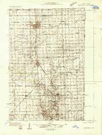 1933 Hoopeston1933 Print · USGSVermilion County and the Illinois-Indiana borderlands are captured here in the early 1930s as a thriving rail and agricultural corridor. Genealogists can locate dozens of rural schools like White Sch and family-linked landmarks such as Ross Cem or Manns Chapel.
 - 1938 Map of Hoopeston
 1938 Hoopeston1938 Print · USGSEastern Illinois at the height of the rail era shows a landscape defined by busy junctions and tightly knit rural communities. Genealogists and historians can trace family roots through dozens of local landmarks like Squankum Sch, Rose Cem, and Pleasant View Ch.3 unique versions available
 - 1953 Map of Danville, 1965 Print
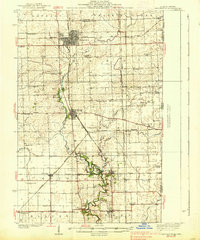
 1953 Danville1965 Print · USGSIndiana and Illinois crossroads come to life in this mid-century survey as the interstate era begins to reshape the river-and-rail landscape. Genealogists and collectors can trace the historic paths of the Nickel Plate railroad or locate smaller communities like Veedersburg, Goodland, and Bismarck.3 unique versions available
 - 1955 Map of Danville
 1955 Danville1955 Print · USGSThe Indiana-Illinois borderlands during the mid-fifties reveal a landscape of thriving rail hubs and university towns. Researchers can trace the legacy of Purdue University, the Tippecanoe Battlefield, and the path of the Pennsylvania RR.
 - 1956 Map of Danville
 1956 Danville1956 Print · USGSMid-century Indiana and Illinois are captured here as the river-and-rail economy evolved into the modern highway era. Researchers can trace ancestral roots and old transport lines through Logansport, Battle Ground, and the dams at Lake Shafer.
 - 1964 Map of Bismarck, 1965 Print
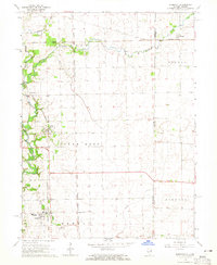 1964 Bismarck1965 Print · USGSBismarck and the Illinois-Indiana borderlands are shown in the mid-1960s as a hub for the Chicago and Eastern Illinois and Milwaukee Road rail lines. Genealogists and local historians can trace family roots through Miller Cem, locate the Township High Sch in Bismarck, or follow the Old Railroad Grade near Alvin.2 unique versions available
 - 1984 Map of Danville, 1985 Print
 1984 Danville1985 Print · USGSEastern Illinois and western Indiana meet here in the mid-1980s, centered on the river forks and rail lines surrounding the industrial hub of Danville. Researchers can trace old transport routes and rural landmarks like Rossville Junction, Hope Ch, and the Univ of Ill Radio Telescope.
 - 1987 Map of Danville, 1994 Print
 1987 Danville1994 Print · USGSThe Illinois-Indiana borderlands thrived in the 1980s as a crossroads of rail commerce and river-fed agriculture. Genealogists and historians can trace the foundations of Danville and Covington while locating landmarks like Spring Hill Cemetery or the Vermilion County Courthouse.
 - 2010 Map of Bismarck, 2010 Print
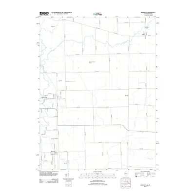
 2010 Bismarck2010 Print · USGSCovers Alvan, including Bismarck, Alvin, and other nearby areas
 - 2012 Map of Bismarck, 2012 Print
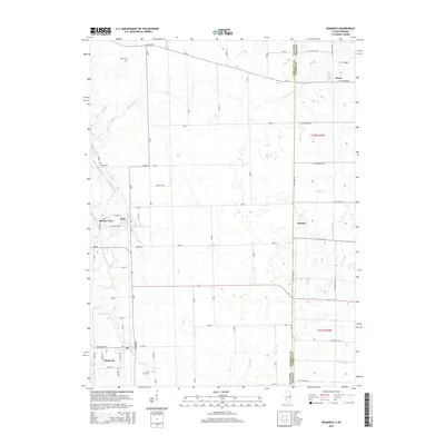
 2012 Bismarck2012 Print · USGSCovers Alvan, including Bismarck, Alvin, and other nearby areas
 - 2015 Map of Bismarck, 2015 Print
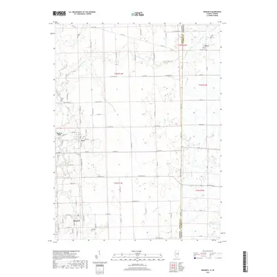
 2015 Bismarck2015 Print · USGSCovers Alvan, including Bismarck, Alvin, and other nearby areas
 - 2018 Map of Bismarck, 2018 Print
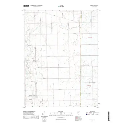
 2018 Bismarck2018 Print · USGSCovers Alvan, including Bismarck, Alvin, and other nearby areas
 - 2021 Map of Bismarck, 2021 Print
 2021 Bismarck2021 Print · USGSCovers Alvan, including Bismarck, Alvin, and other nearby areas
 - 2024 Map of Bismarck, 2024 Print
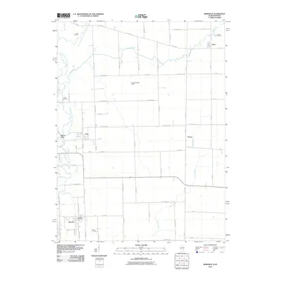
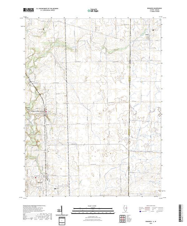 2024 Bismarck2024 Print · USGSVermilion County and the Indiana state line appear in this modern survey of an enduring Midwestern agricultural landscape. Researchers can trace community roots at Bismarck and the Village of Alvan or locate family plots at Miller Cem and Rose Cem.
End of results
Showing maps 1-14 of 14
Top cities near Alvan
- Danville historical maps
- Hoopeston historical maps
- Tilton historical maps
- Covington historical maps
- Oakwood historical maps
- Rossville historical maps
See more
Top neighborhoods of Alvan
Frequently asked questions
- What are the different types of historical maps available for Alvan?
- What is the oldest map of Alvan?
- Where can I purchase historical maps of Alvan for my home or office?
- Where can I download high-res historical maps of Alvan?
- Are there historical topographic maps available for Alvan?
- Is there historical aerial imagery available for Alvan?
- Where are historical maps of Alvan sourced from?