Old Maps of Tilton, Illinois for Metal Detecting
Plan your next treasure hunt with 24 historic maps of Tilton. Find old homesites, ghost towns, trails, and gathering spots that may be lost to time — perfect for identifying promising metal detecting locations.
- Locate forgotten sites: Uncover places like long-lost settlements, abandoned rail lines, or gathering spots.
- Plan better hunts: Use map overlays combined with LiDAR or satellite views to narrow in on historically rich areas.
- Made for detectorists: Thousands of hobbyists use these maps to discover relics, coins, and hidden history.
Use these historic maps to boost your research and find new opportunities beneath the surface of Tilton.
Tilton, IL maps
(24)- 1899 Map of Danville
 1899 Danville1899 Print · USGSDanville and the surrounding Vermilion County townships thrived at a massive rail intersection before the turn of the century. Genealogists and historians can trace the early layouts of Batestown, Catlin, and Rileysburg along the Vermilion River.
 - 1900 Map of Danville
 1900 Danville1900 Print · USGSVermilion County at the turn of the century is a bustling rail center defined by the junction of major freight lines and the Vermilion River. Genealogists can trace family footprints in early settlements like Westville, Batestown, and the border community of State Line.7 unique versions available
 - 1949 Map of Danville SW, 1960 Print
 1949 Danville SW1960 Print · USGSVermilion County's coal and rail landscape is captured here in the late 1940s, showing the tight-knit mining towns southwest of Danville. Genealogists and local historians can trace family roots through sites like the Lithuanian Cem, D Day Mine, and several rural schoolhouses like Shiloh Sch.2 unique versions available
 - 1950 Map of Danville SW
 1950 Danville SW1950 Print · USGSThe Vermilion County coalfields and rail hubs are captured here at mid-century. Researchers can trace family history through sites like Sts Peter and Paul Cem or the industrial landscape of the D Day Mine and Wabash Railroad.
 - 1950 Map of Danville SE, 1960 Print
 1950 Danville SE1960 Print · USGSThe Illinois-Indiana borderlands at mid-century reveal a landscape defined by the winding Vermilion River and the expansion of southern Danville. Genealogists and local researchers can trace a dense network of family landmarks and rural institutions, from Sandhill Memorial Park to the Willow Springs Sch and Morey Chapel.
 - 1951 Map of Danville SE
 1951 Danville SE1951 Print · USGSVermilion County at mid-century reveals a landscape balancing heavy industry with deep-rooted rural communities. Genealogists and historians can trace family landmarks like Morey Chapel, the Langley Cemetery, and numerous country schools from Grape Creek Sch to Jenkins Sch.
 - 1953 Map of Danville, 1965 Print
 1953 Danville1965 Print · USGSIndiana and Illinois crossroads come to life in this mid-century survey as the interstate era begins to reshape the river-and-rail landscape. Genealogists and collectors can trace the historic paths of the Nickel Plate railroad or locate smaller communities like Veedersburg, Goodland, and Bismarck.3 unique versions available
 - 1955 Map of Danville
 1955 Danville1955 Print · USGSThe Indiana-Illinois borderlands during the mid-fifties reveal a landscape of thriving rail hubs and university towns. Researchers can trace the legacy of Purdue University, the Tippecanoe Battlefield, and the path of the Pennsylvania RR.
 - 1956 Map of Danville
 1956 Danville1956 Print · USGSMid-century Indiana and Illinois are captured here as the river-and-rail economy evolved into the modern highway era. Researchers can trace ancestral roots and old transport lines through Logansport, Battle Ground, and the dams at Lake Shafer.
 - 1966 Map of Danville SE, 1967 Print
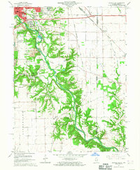 1966 Danville SE1967 Print · USGSThe bluffs of the Vermilion River and the expanding south side of Danville are captured here in the mid-sixties. Genealogists and historians can trace numerous rural burial sites like Atherton Cem or locate the University of Illinois Radio Telescope.2 unique versions available
 - 1966 Map of Danville SW, 1967 Print
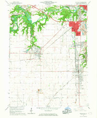 1966 Danville SW1967 Print · USGSVermilion County in the mid-sixties reveals a landscape shaped by coal extraction and heavy rail. Genealogists and historians can trace family plots at Oak Ridge Cemetery or study the industrial layout of the Deep Valley Mine and V-Day Mine.2 unique versions available
 - 1984 Map of Danville, 1985 Print
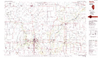 1984 Danville1985 Print · USGSEastern Illinois and western Indiana meet here in the mid-1980s, centered on the river forks and rail lines surrounding the industrial hub of Danville. Researchers can trace old transport routes and rural landmarks like Rossville Junction, Hope Ch, and the Univ of Ill Radio Telescope.
 - 1987 Map of Danville, 1994 Print
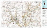 1987 Danville1994 Print · USGSThe Illinois-Indiana borderlands thrived in the 1980s as a crossroads of rail commerce and river-fed agriculture. Genealogists and historians can trace the foundations of Danville and Covington while locating landmarks like Spring Hill Cemetery or the Vermilion County Courthouse.
 - 2010 Map of Danville SE, 2010 Print
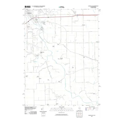 2010 Danville SE2010 Print · USGSNear the Illinois-Indiana border during the early 21st century, the rural landscape southeast of Danville preserves a deep record of local family history. Genealogists can trace numerous burial sites such as Atherton Cemetery and Saints Peter and Paul Cemetery while locating the former University of Illinois Radio Telescope.
 - 2012 Map of Danville SW, 2012 Print
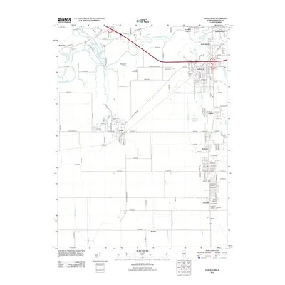 2012 Danville SW2012 Print · USGSVermilion County southwest of Danville is shown here in the early twenty-first century, where the river forks meet a landscape of mining ponds and historic hamlets. Researchers can trace numerous small burial sites like God's Acre Cem and Oakhill Cem or locate old community centers in Catlin and Batestown.
 - 2012 Map of Danville SE, 2012 Print
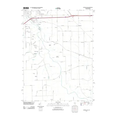 2012 Danville SE2012 Print · USGSThe Illinois-Indiana border comes alive in this survey of the Vermilion River valley during the early twenty-first century. Researchers can trace rural lineages through numerous sites like McKendree Church, Harrison Cem, and the specialized University of Illinois Radio Telescope.
 - 2015 Map of Danville SW, 2015 Print
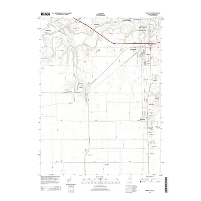 2015 Danville SW2015 Print · USGSVermilion County settlements and river forks are captured here in the mid-2010s, showing the dense network of communities southwest of Danville. Researchers can locate numerous local landmarks like Oakhill Cem, Jones Grove Cem, and the specialized Lithuanian Cem near Unionville.
 - 2015 Map of Danville SE, 2015 Print
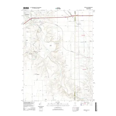 2015 Danville SE2015 Print · USGSThe Illinois-Indiana border comes to life in the mid-2010s as it follows the Vermilion River through a landscape of historic hamlets and cemeteries. Genealogists and local historians can trace family roots at Sandusky Cem, McKendree Cem, and the riverside Langley Bottom.
 - 2018 Map of Danville SE, 2018 Print
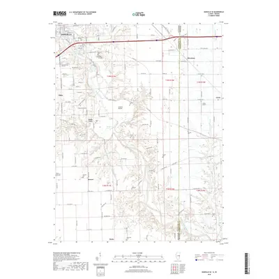 2018 Danville SE2018 Print · USGSThe Illinois-Indiana borderlands come alive in the late 2010s, showing the rural landscapes south of the Vermilion River. Genealogists can trace family roots through numerous burial grounds like Langley Cem, Sandusky Cem, and the old settlements of Grape Creek and Meeks.
 - 2018 Map of Danville SW, 2018 Print
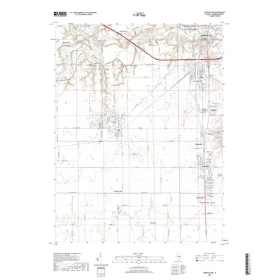 2018 Danville SW2018 Print · USGSVermilion County's industrial and residential heart is captured here in the late twenty-teens, showing the dense corridor south of Danville. Genealogists and historians can locate numerous small burial sites like Songer Cem, Dukes Cem, and God's Acre Cem.
 - 2021 Map of Danville SE, 2021 Print
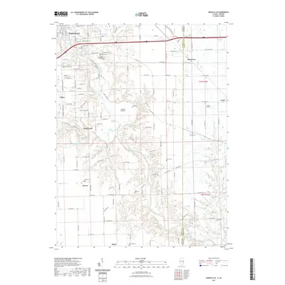 2021 Danville SE2021 Print · USGSThe rural borderlands of eastern Illinois and western Indiana are shown here just after the turn of the decade. Genealogists can locate numerous small burial sites like Locket Cemetery, Niccum Cemetery, and Sandusky Cemetery along the Vermilion River valley.
 - 2021 Map of Danville SW, 2021 Print
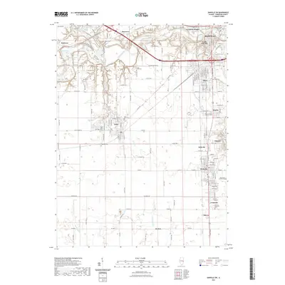 2021 Danville SW2021 Print · USGSVermilion County's industrial and coal-country heritage is on display in this contemporary look at the southern outskirts of Danville. Genealogists can locate several smaller burial grounds, such as Hooten Cem, Gods Acre Cem, and Pate Cem scattered among the rural roads.
 - 2024 Map of Danville SW, 2024 Print
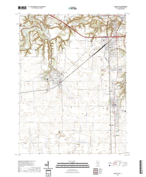 2024 Danville SW2024 Print · USGSVermilion County's industrial and cultural heritage is on full display in this modern survey of the Danville outskirts. Genealogists can trace family names at the Westville Lithuanian Cem and Wright Family Cem, while explorers follow the Middle Fork Vermilion River.
 - 2024 Map of Danville SE, 2024 Print
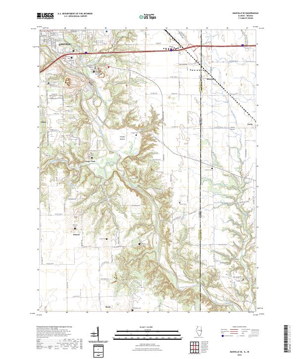 2024 Danville SE2024 Print · USGSSoutheast of Danville and along the Indiana state line, this recent survey traces the deep valley of the Vermilion River and its rural townships. Researchers can locate numerous historical burial sites like Sandusky Cem and McKendree Cem or follow the rail corridor of CSX TRANSPORTATION.
End of results
Showing maps 1-24 of 24
Top cities near Tilton
- Danville historical maps
- Georgetown historical maps
- Westville historical maps
- Catlin historical maps
- Eugene historical maps
- Oakwood historical maps
See more
Top neighborhoods of Tilton
Frequently asked questions
- What are the different types of historical maps available for Tilton?
- What is the oldest map of Tilton?
- Where can I purchase historical maps of Tilton for my home or office?
- Where can I download high-res historical maps of Tilton?
- Are there historical topographic maps available for Tilton?
- Is there historical aerial imagery available for Tilton?
- Where are historical maps of Tilton sourced from?