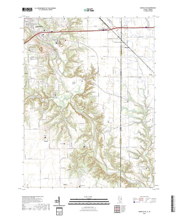
2024 Map of Danville SE
USGS Topo · Published 2024About this map
The Vermilion River carves a winding path through this corner of East Central Illinois, defining the landscape between Danville and the Indiana border. To the west, the settlements of Tilton, Grape Creek, and Himrod sit atop the bluffs, while the valley floor near Langley Bottom shows the natural meanders of the river. This 2024 survey captures a mix of industrial infrastructure and rural heritage, with the CSX Transportation line cutting through the north and a dense concentration of historical burial sites throughout the countryside. Genealogists will find a wealth of family history landmarks, from the expansive Greenwood Cemetery and Resurrection Cem near the city to smaller rural plots like McKendree Cem, Bock Cem, and Sandusky Cem that dot the townships. The transition from the urban grid of Danville into the agriculture of Vermilion County is marked by landmarks such as the Gessie Airport just across the state line in Indiana.
Find a feature on this map
84 named features on this map. Tap any name to fly to it.
Don’t see what you’re looking for? This feature index may not catch every label — zoom into the map to look around manually.
Map Details
Editions of this 2024 Danville SE Map
This is the sole edition of this map. No revisions or reprints were ever made.
Other maps of this area

1899 · Danville
USGS Topo · 1:62,500

1900 · Danville
USGS Topo · 1:62,500

1947 · Ridge Farm
USGS Topo · 1:62,500

1948 · Danville NW
USGS Topo · 1:24,000

1949 · Danville SW
USGS Topo · 1:24,000

1950 · Danville SW
USGS Topo · 1:24,000

1950 · Danville NW
USGS Topo · 1:24,000

1950 · Danville SE
USGS Topo · 1:24,000

1950 · Danville NE
USGS Topo · 1:24,000

1951 · Danville NE
USGS Topo · 1:24,000