2010s Maps of Wabash County, Illinois
Explore 33 historic maps of Wabash County from the 2010s. These maps offer a rare glimpse into what life looked like during the 2010s — showing old roads, neighborhoods, homes, and landmarks that have changed or disappeared over time.
Whether you're researching your family's past, planning a metal detecting trip, or studying how Wabash County's landscape evolved across the 2010s, these high-resolution maps are a powerful tool for exploring the history of this region.
- Focus on a specific era: All maps on this page are from the 2010s, giving you a focused view of this time period.
- See what’s changed: Compare century-old streets, trails, and buildings to today's modern landscape using overlays and satellite layers.
- Research with precision: Use these maps for genealogy, historical research, land use analysis, or educational projects.
- View, download, or print: Maps are fully viewable online in high resolution, and can be downloaded or printed for your own records.
Start exploring Wabash County's history through authentic maps from the 2010s. This is your window into the past.
Wabash County, IL maps
(33)- 2010 Map of Keensburg, 2010 Print
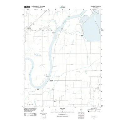 2010 Keensburg2010 Print · USGSThe Wabash River borderlands appear in great detail at the start of the decade, showing the agricultural hamlets and river levees of the region. Researchers can locate family burial sites at Keens Cemetery and Brewer Hill Cemetery or trace the lands of the Purdue University Horticultural Farm.
 - 2010 Map of Saint Francisville, 2010 Print
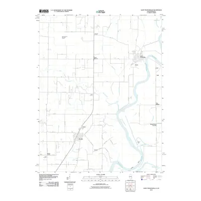 2010 Saint Francisville2010 Print · USGSThe Illinois-Indiana borderlands near the Wabash River are captured here in the early twenty-first century. Genealogists and local historians can trace family locations through numerous sites like Jordan Cemetery, Adams Corner, and Bloods Wood Crossing.
 - 2010 Map of Mount Carmel, 2010 Print
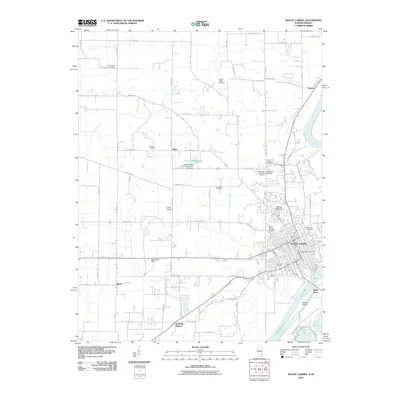 2010 Mount Carmel2010 Print · USGSWabash County and the river-border landscape of Illinois and Indiana are shown here at the start of the 2010s. Genealogists can locate numerous burial sites from Saint Marys Cemetery to the Lingenfelter Cemetery, alongside rural stops like Schrodts Station.
 - 2010 Map of Grayville, 2010 Print
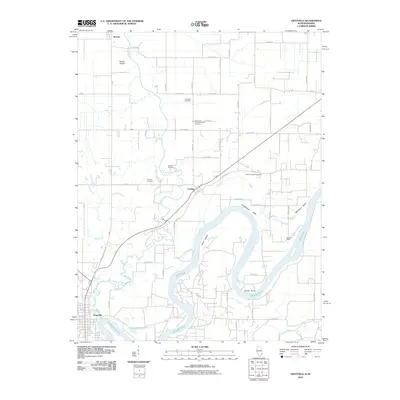 2010 Grayville2010 Print · USGSThe Illinois-Indiana border along the Wabash River is captured here at the start of the 21st century. Researchers can trace family history through several rural burial sites, including Freidens Cemetery, and the church communities at Saint Johns Lutheran Church and Antioch Church.
 - 2010 Map of East Mount Carmel, 2010 Print
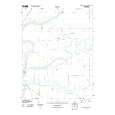 2010 East Mount Carmel2010 Print · USGSThe confluence of the Wabash, White, and Patoka rivers defines this borderland landscape at the start of the millennium. Genealogists and historians can trace riverside settlements and landmarks like East Mount Carmel, the Mount Carmel Ferry, and Orrville Cemetery.
 - 2010 Map of New Harmony, 2010 Print
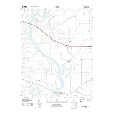 2010 New Harmony2010 Print · USGSThe Wabash River valley at the turn of the millennium shows a landscape defined by its winding waters and fertile islands. Local historians can trace family ties at Mount Pleasant Cemetery or locate the sites of Webbs Ferry and the hamlet of New Baltimore.
 - 2012 Map of Bone Gap, 2012 Print
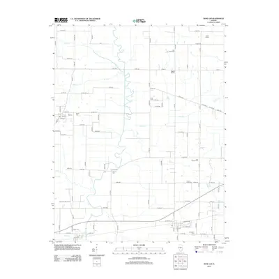 2012 Bone Gap2012 Print · USGSBone Gap and the rural reaches of Wabash County are documented here in the early 2010s, showcasing a landscape of family farms and creek-side settlements. Genealogists can locate several historic burial grounds including Lick Prairie Cem, Tanquary Family Cem, and Wells Cem.
 - 2012 Map of Berryville, 2012 Print
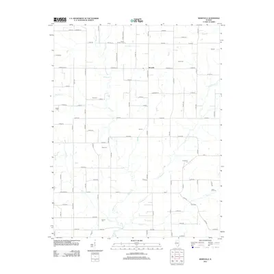 2012 Berryville2012 Print · USGSThe rural landscape around Berryville is captured here in the early twenty-first century, showing a deeply rooted agricultural community. Genealogists can trace family heritage through numerous burial sites including Paul Cem, Ridgely Cem, and Shiloh Number 1 Cem.
 - 2012 Map of Mount Carmel, 2012 Print
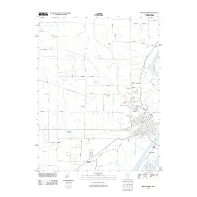 2012 Mount Carmel2012 Print · USGSThe Illinois and Indiana border at the confluence of the Wabash and White Rivers is captured here in the early twenty-first century. Family historians can trace numerous rural burial sites like Woods Family Cem and old rail-related locations such as Schrodts Station.
 - 2012 Map of Lancaster, 2012 Print
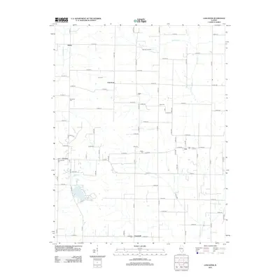 2012 Lancaster2012 Print · USGSIllinois farmland and rural settlements are mapped in detail here during the early 2010s. Researchers can trace family history through numerous burial sites like Corrie Cem and Oreo Cem or locate legacy industry at the West Ruark Oil Field.
 - 2012 Map of Saint Francisville, 2012 Print
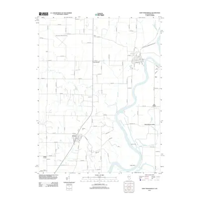 2012 Saint Francisville2012 Print · USGSWabash County's riverfront and the village of Allendale are documented here in the early twenty-first century. Researchers can locate numerous family burial sites like Stillwell Family Cem and Jordan Cem, or trace the winding course of the Wabash River.
 - 2012 Map of Grayville, 2012 Print
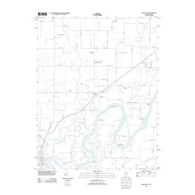 2012 Grayville2012 Print · USGSThe Wabash River valley at the Illinois-Indiana border is shown here in the early 2010s, revealing a landscape of winding water and rural settlements. Researchers can trace local lineage through several well-documented sites like Saint Johns Lutheran Church Cem, Wheeler Cem, and the village of Cowling.
 - 2012 Map of Keensburg, 2012 Print
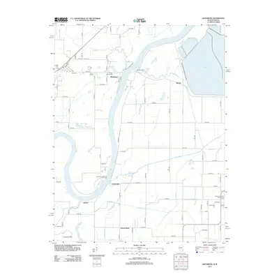 2012 Keensburg2012 Print · USGSThe Wabash River valley on the Illinois-Indiana border is shown here in the early twenty-first century, featuring a landscape of river-bend settlements and managed wetlands. Genealogists and researchers can trace family landmarks like Keens Cem, Le Gier Lovellette Cem, and the riverfront at Crawleyville.
 - 2013 Map of East Mount Carmel, 2013 Print
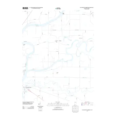 2013 East Mount Carmel2013 Print · USGSThe confluence of the Wabash and White Rivers defines this borderland landscape in the early twenty-first century. Genealogists and local historians can trace the roads around East Mount Carmel, the Orrville Hills, and the Mount Carmel Ferry crossing.
 - 2013 Map of New Harmony, 2013 Print
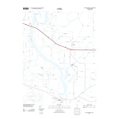 2013 New Harmony2013 Print · USGSThe Lower Wabash Valley in the early 2010s reveals a complex landscape of shifting river channels and historic border settlements. Researchers can trace the river's legacy through Old Channel Wabash River and locate historic transit points like Webbs Ferry and New Harmony.
 - 2015 Map of Saint Francisville, 2015 Print
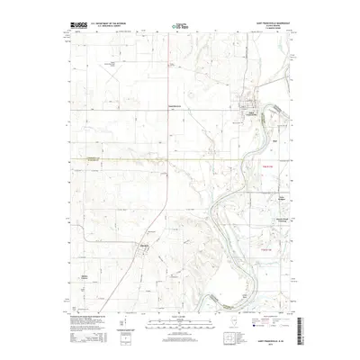 2015 Saint Francisville2015 Print · USGSThe riverine borderlands of Illinois and Indiana come into focus here during the early twenty-first century. Genealogists and local historians can trace family plots at Stillwell Family Cem and Jordan Cem, or locate landmarks like Twin Bridges and Bloods Wood Crossing.
 - 2015 Map of Grayville, 2015 Print
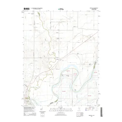 2015 Grayville2015 Print · USGSThe tri-county border region along the Wabash River is captured here during the mid-2010s, showcasing the intricate river bends and small-town grids. Family historians can locate several rural burial grounds, including Saint Johns Lutheran Church Cem, Wheeler Cem, and Fortney Cem.
 - 2015 Map of Lancaster, 2015 Print
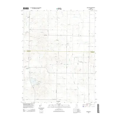 2015 Lancaster2015 Print · USGSSoutheast Illinois farmland and quiet creek valleys define this rural landscape during the mid-2010s. Genealogists can trace decades of local history through numerous small burial sites like New Lancaster Cem, Oreo Cem, and Ridgely Cem.
 - 2015 Map of Keensburg, 2015 Print
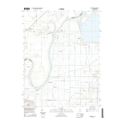 2015 Keensburg2015 Print · USGSThe Illinois-Indiana border along the Wabash River comes into focus in this recent survey, showcasing the river's winding path between Wabash and Gibson counties. Researchers can trace rural lineages at Le Gier-Lovellette Cem or locate the settlements of Keensburg and Jimtown.
 - 2015 Map of Berryville, 2015 Print
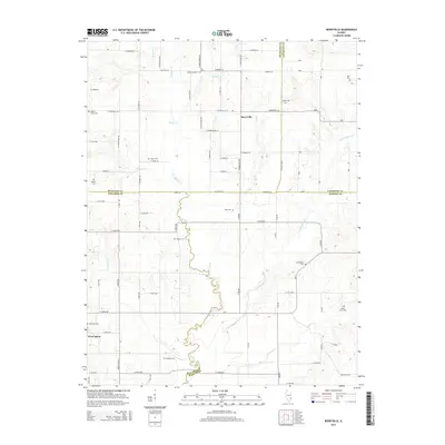 2015 Berryville2015 Print · USGSThe crossroads of four Illinois counties come into focus during this mid-2010s survey of the prairie landscape near West Salem. Researchers can locate numerous historic burial sites such as Moravian Cem, Shiloh Number 1 Cem, and Welser Cem along the banks of Bonpas Cr.
 - 2015 Map of Mount Carmel, 2015 Print
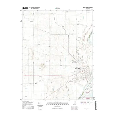 2015 Mount Carmel2015 Print · USGSMount Carmel and the Wabash River valley appear in 2015 as a hub of education and transport on the Illinois-Indiana border. Researchers can trace numerous family-named burial sites like Nyle Chapel Cem or locate Illinois Eastern Community Colleges-Wabash Valley College.
 - 2015 Map of Bone Gap, 2015 Print
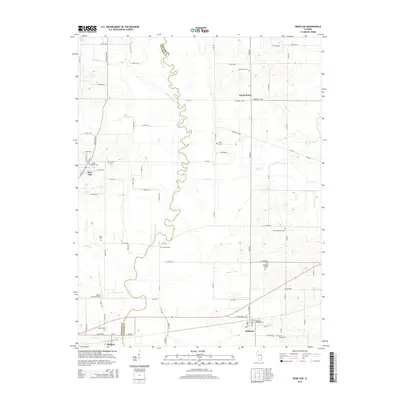 2015 Bone Gap2015 Print · USGSWabash and Edwards counties show their rural character in the early twenty-first century, defined by a grid of farm roads and small villages. Genealogists can trace family heritage through numerous sites like Saint Sebastian Cem, Tanquary Family Cem, and Ridge Cem.
 - 2016 Map of East Mount Carmel, 2016 Print
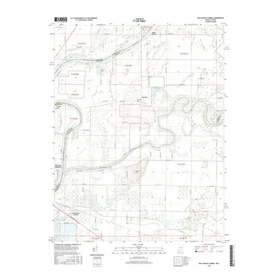 2016 East Mount Carmel2016 Print · USGSThe river confluence at the Illinois-Indiana border comes into focus in this recent survey of the Wabash and White River valleys. Genealogists and local historians can trace family sites at Scott Chapel Cemetery, explore the landing at Grand Rapids, and locate the historic river bluffs of Hanging Rock.
 - 2016 Map of New Harmony, 2016 Print
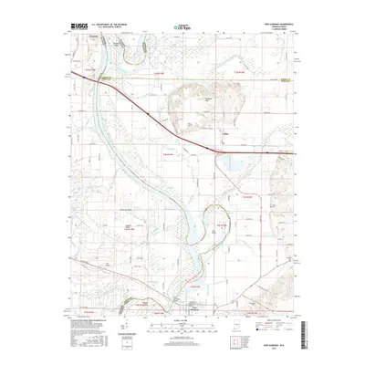 2016 New Harmony2016 Print · USGSThe Illinois-Indiana border along the Wabash River is captured here in the mid-2010s, showcasing a landscape shaped by shifting channels and river islands. Genealogists and historians can trace family burial sites at Mount Pleasant Cem or Stillwell Cem and locate the historic New Harmony Bridge.
 - 2018 Map of Bone Gap, 2018 Print
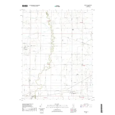 2018 Bone Gap2018 Print · USGSThe rural borderlands of Edwards and Wabash counties are captured here in the late twenty-teens, centered on the winding Bonpas Creek. Researchers can locate numerous ancestral burial sites like Tanquary Family Cem and the settlements of Bone Gap and Bellmont.
Showing maps 1-25 of 33
Top cities of Wabash County
- Mount Carmel historical maps
- Allendale historical maps
- Bellmont historical maps
- Keensburg historical maps
Frequently asked questions
- What are the different types of historical maps available for Wabash County?
- What is the oldest map of Wabash County?
- Where can I purchase historical maps of Wabash County for my home or office?
- Where can I download high-res historical maps of Wabash County?
- Are there historical topographic maps available for Wabash County?
- Is there historical aerial imagery available for Wabash County?
- Where are historical maps of Wabash County sourced from?