2000s (21st Century) Maps of Pecatonica Township, Illinois
Explore 20 historic maps of Pecatonica Township from the 2000s (21st Century). These maps offer a rare glimpse into what life looked like during the 2000s — showing old roads, neighborhoods, homes, and landmarks that have changed or disappeared over time.
Whether you're researching your family's past, planning a metal detecting trip, or studying how Pecatonica Township's landscape evolved across the 2000s, these high-resolution maps are a powerful tool for exploring the history of this region.
- Focus on a specific era: All maps on this page are from the 2000s, giving you a focused view of this time period.
- See what’s changed: Compare century-old streets, trails, and buildings to today's modern landscape using overlays and satellite layers.
- Research with precision: Use these maps for genealogy, historical research, land use analysis, or educational projects.
- View, download, or print: Maps are fully viewable online in high resolution, and can be downloaded or printed for your own records.
Start exploring Pecatonica Township's history through authentic maps from the 2000s. This is your window into the past.
Pecatonica Township, IL maps
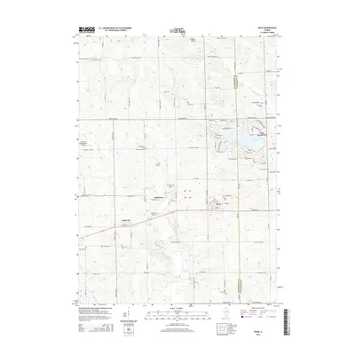
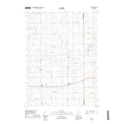
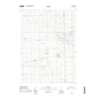
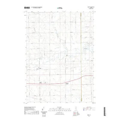
(20)- 2012 Map of Ridott, 2012 Print
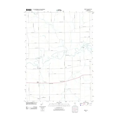 2012 Ridott2012 Print · USGSCovers Pecatonica Township, including Ridott, Ridott Corners, and other nearby areas
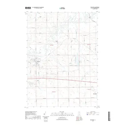
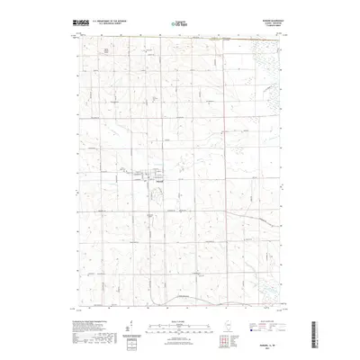
 - 2012 Map of Pecatonica, 2012 Print
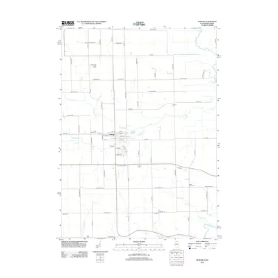
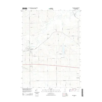
 2012 Pecatonica2012 Print · USGSCovers Pecatonica Township, including Winnebago, Pecatonica, and other nearby areas
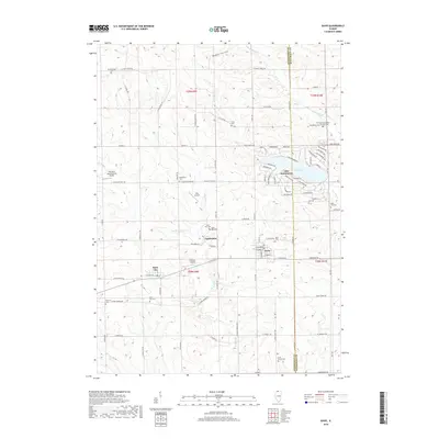
 - 2012 Map of Durand, 2012 Print
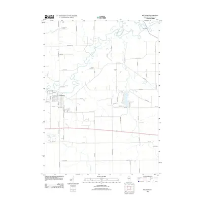
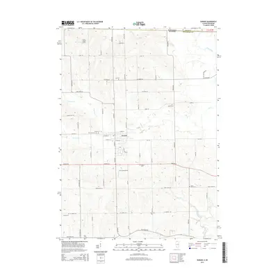
 2012 Durand2012 Print · USGSCovers Pecatonica Township, including Durand, Avon, and other nearby areas
 - 2012 Map of Davis, 2012 Print
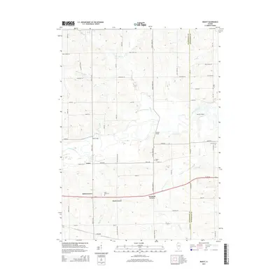
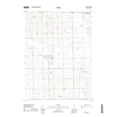
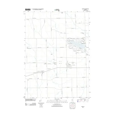 2012 Davis2012 Print · USGSCovers Pecatonica Township, including Davis, Rock City, and other nearby areas
 - 2015 Map of Ridott, 2015 Print
 2015 Ridott2015 Print · USGSCovers Pecatonica Township, including Ridott, Ridott Corners, and other nearby areas
 - 2015 Map of Pecatonica, 2015 Print
 2015 Pecatonica2015 Print · USGSCovers Pecatonica Township, including Winnebago, Pecatonica, and other nearby areas
 - 2015 Map of Davis, 2015 Print
 2015 Davis2015 Print · USGSCovers Pecatonica Township, including Davis, Rock City, and other nearby areas
 - 2015 Map of Durand, 2015 Print
 2015 Durand2015 Print · USGSCovers Pecatonica Township, including Durand, Avon, and other nearby areas
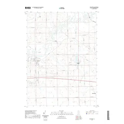
 - 2018 Map of Durand, 2018 Print
 2018 Durand2018 Print · USGSCovers Pecatonica Township, including Durand, Avon, and other nearby areas
 - 2018 Map of Ridott, 2018 Print
 2018 Ridott2018 Print · USGSCovers Pecatonica Township, including Ridott, Ridott Corners, and other nearby areas
 - 2018 Map of Davis, 2018 Print
 2018 Davis2018 Print · USGSCovers Pecatonica Township, including Davis, Rock City, and other nearby areas
 - 2018 Map of Pecatonica, 2018 Print
 2018 Pecatonica2018 Print · USGSCovers Pecatonica Township, including Winnebago, Pecatonica, and other nearby areas
 - 2021 Map of Davis, 2021 Print
 2021 Davis2021 Print · USGSCovers Pecatonica Township, including Davis, Rock City, and other nearby areas
 - 2021 Map of Durand, 2021 Print
 2021 Durand2021 Print · USGSCovers Pecatonica Township, including Durand, Avon, and other nearby areas
 - 2021 Map of Pecatonica, 2021 Print
 2021 Pecatonica2021 Print · USGSCovers Pecatonica Township, including Winnebago, Pecatonica, and other nearby areas
 - 2021 Map of Ridott, 2021 Print
 2021 Ridott2021 Print · USGSCovers Pecatonica Township, including Ridott, Ridott Corners, and other nearby areas
 - 2024 Map of Pecatonica, 2024 Print
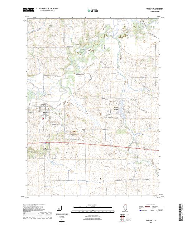 2024 Pecatonica2024 Print · USGSPecatonica and the surrounding Winnebago County farmland are documented here in the early 2020s as the river-valley landscape evolves. Researchers can locate family landmarks like Twelve Mile Grove Cem and Thompson Cem or trace the Pecatonica River.
 - 2024 Map of Davis, 2024 Print
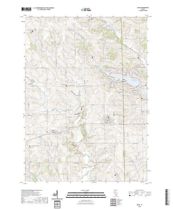 2024 Davis2024 Print · USGSThe rural borderlands between Stephenson and Winnebago counties are captured here in the early twenty-first century as agricultural traditions meet modern residential growth. Genealogists and local historians can trace legacy burial sites like Saint Pauls Eppleyanna Cem and Pioneers Cem alongside the planned streets of Lake Summerset.
 - 2024 Map of Durand, 2024 Print
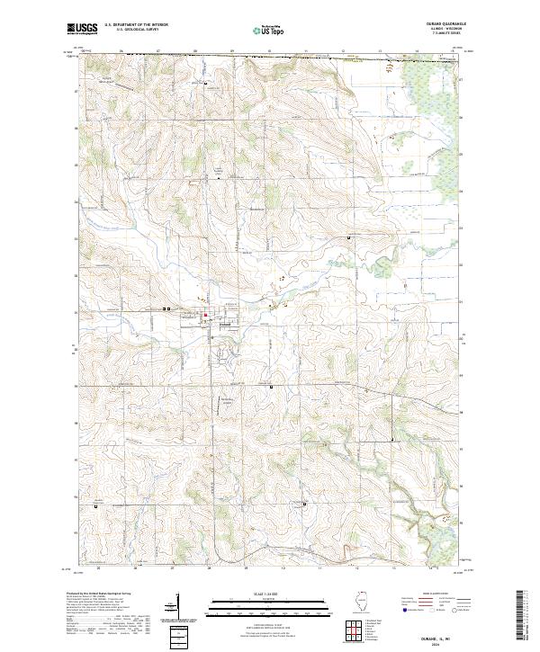 2024 Durand2024 Print · USGSThe village of Durand and the surrounding Winnebago County countryside are shown here as they appear today near the Wisconsin border. Family historians can locate numerous rural burial grounds including Saint Marys Cem, Oakland Cem, and Hanford Cem.
 - 2024 Map of Ridott, 2024 Print
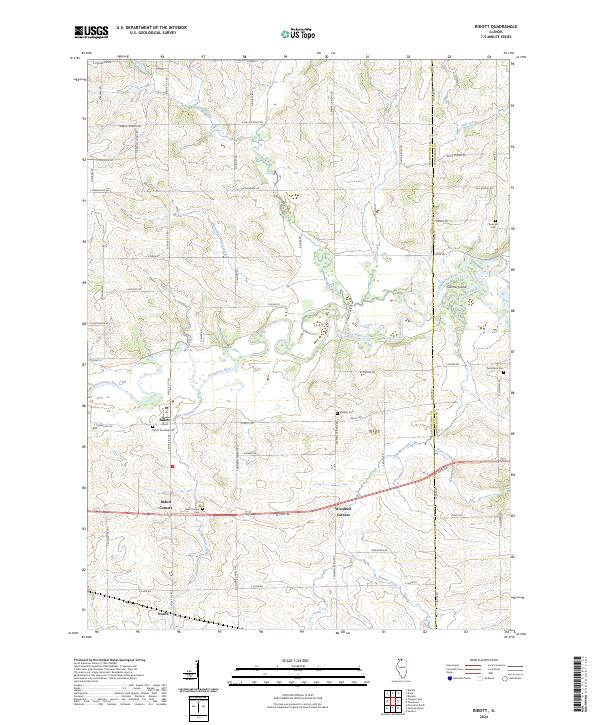 2024 Ridott2024 Print · USGSThe Pecatonica River valley in Stephenson and Winnebago counties remains a landscape of quiet crossroads and family landholdings. Local historians can trace the heritage of Ridott and its rural outskirts through sites like Ridott Center Cem and Sumner Island.
End of results
Showing maps 1-20 of 20
Top cities near Pecatonica Township
- Rockford historical maps
- Byron historical maps
- Winnebago historical maps
- Pecatonica historical maps
- Town of Newark historical maps
- Davis Junction historical maps
See more
Top neighborhoods of Pecatonica Township
Frequently asked questions
- What are the different types of historical maps available for Pecatonica Township?
- What is the oldest map of Pecatonica Township?
- Where can I purchase historical maps of Pecatonica Township for my home or office?
- Where can I download high-res historical maps of Pecatonica Township?
- Are there historical topographic maps available for Pecatonica Township?
- Is there historical aerial imagery available for Pecatonica Township?
- Where are historical maps of Pecatonica Township sourced from?