2000s (21st Century) Maps of Clay County, Indiana
Explore 50 historic maps of Clay County from the 2000s (21st Century). These maps offer a rare glimpse into what life looked like during the 2000s — showing old roads, neighborhoods, homes, and landmarks that have changed or disappeared over time.
Whether you're researching your family's past, planning a metal detecting trip, or studying how Clay County's landscape evolved across the 2000s, these high-resolution maps are a powerful tool for exploring the history of this region.
- Focus on a specific era: All maps on this page are from the 2000s, giving you a focused view of this time period.
- See what’s changed: Compare century-old streets, trails, and buildings to today's modern landscape using overlays and satellite layers.
- Research with precision: Use these maps for genealogy, historical research, land use analysis, or educational projects.
- View, download, or print: Maps are fully viewable online in high resolution, and can be downloaded or printed for your own records.
Start exploring Clay County's history through authentic maps from the 2000s. This is your window into the past.
Clay County, IN maps
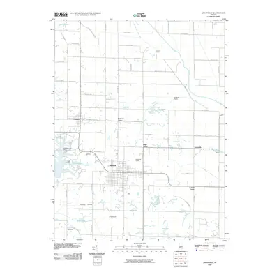
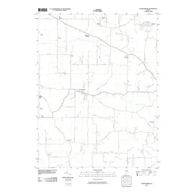
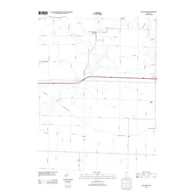
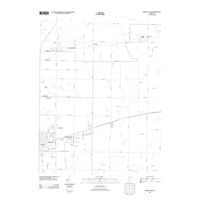
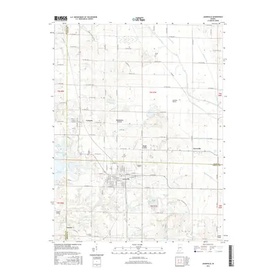
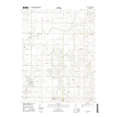
(50)- 2010 Map of Clay City, 2010 Print
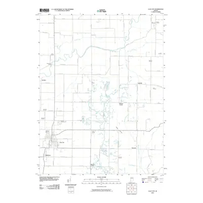 2010 Clay City2010 Print · USGSCovers Clay County, including Clay City, Smithville, and other nearby areas
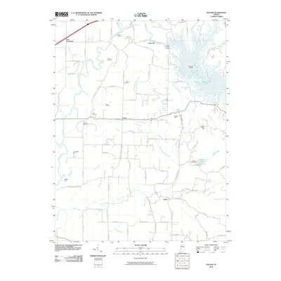
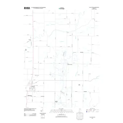
 - 2010 Map of Coal City, 2010 Print
 2010 Coal City2010 Print · USGSCovers Clay County, including Stockton, Hubbell, and other nearby areas
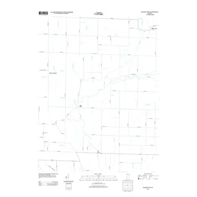
 - 2010 Map of Saline City, 2010 Print
 2010 Saline City2010 Print · USGSCovers Clay County, including Saline City, Old Hill, and other nearby areas
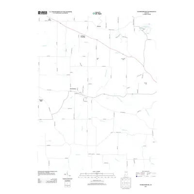
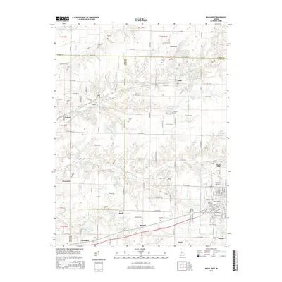
 - 2010 Map of Brazil West, 2010 Print
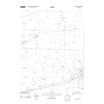
 2010 Brazil West2010 Print · USGSCovers Clay County, including Brazil, Cobb, and other nearby areas
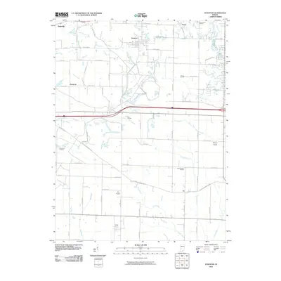
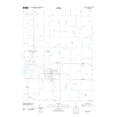
 - 2010 Map of Jasonville, 2010 Print
 2010 Jasonville2010 Print · USGSCovers Clay County, including Jasonville, Buchanan Corner, and other nearby areas
 - 2010 Map of Brazil East, 2010 Print
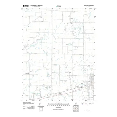
 2010 Brazil East2010 Print · USGSCovers Clay County, including Brazil, Knightsville, and other nearby areas
 - 2010 Map of Center Point, 2010 Print
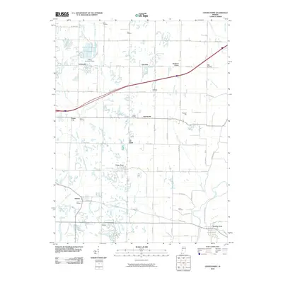 2010 Center Point2010 Print · USGSCovers Clay County, including Center Point, Roadman Corner, and other nearby areas
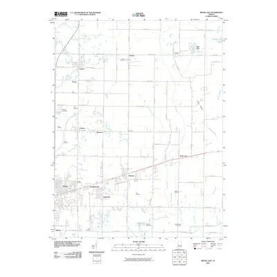
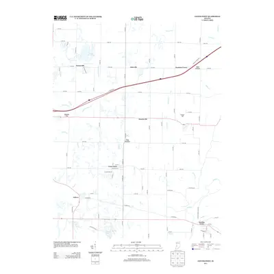
 - 2010 Map of Staunton, 2010 Print
 2010 Staunton2010 Print · USGSCovers Clay County, including Seelyville, Staunton, and other nearby areas
 - 2010 Map of Patricksburg, 2010 Print
 2010 Patricksburg2010 Print · USGSCovers Clay County, including Patricksburg, Six Points, and other nearby areas
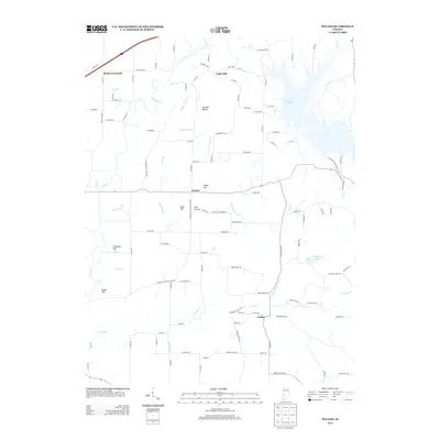
 - 2010 Map of Poland, 2010 Print
 2010 Poland2010 Print · USGSCovers Clay County, including Jordan, Poland, and other nearby areas
 - 2013 Map of Jasonville, 2013 Print
 2013 Jasonville2013 Print · USGSCovers Clay County, including Jasonville, Buchanan Corner, and other nearby areas
 - 2013 Map of Center Point, 2013 Print
 2013 Center Point2013 Print · USGSCovers Clay County, including Center Point, Roadman Corner, and other nearby areas
 - 2013 Map of Staunton, 2013 Print
 2013 Staunton2013 Print · USGSCovers Clay County, including Seelyville, Staunton, and other nearby areas
 - 2013 Map of Clay City, 2013 Print
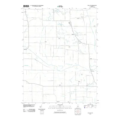
 2013 Clay City2013 Print · USGSCovers Clay County, including Clay City, Smithville, and other nearby areas
 - 2013 Map of Brazil West, 2013 Print
 2013 Brazil West2013 Print · USGSCovers Clay County, including Brazil, Cobb, and other nearby areas
 - 2013 Map of Coal City, 2013 Print
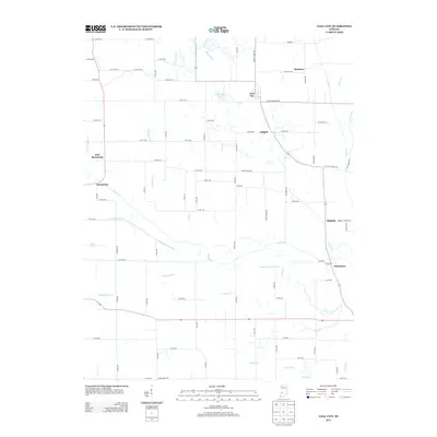 2013 Coal City2013 Print · USGSCovers Clay County, including Stockton, Hubbell, and other nearby areas
 - 2013 Map of Brazil East, 2013 Print
 2013 Brazil East2013 Print · USGSCovers Clay County, including Brazil, Knightsville, and other nearby areas
 - 2013 Map of Saline City, 2013 Print
 2013 Saline City2013 Print · USGSCovers Clay County, including Saline City, Old Hill, and other nearby areas
 - 2013 Map of Patricksburg, 2013 Print
 2013 Patricksburg2013 Print · USGSCovers Clay County, including Patricksburg, Six Points, and other nearby areas
 - 2013 Map of Poland, 2013 Print
 2013 Poland2013 Print · USGSCovers Clay County, including Jordan, Poland, and other nearby areas
 - 2016 Map of Jasonville, 2016 Print
 2016 Jasonville2016 Print · USGSCovers Clay County, including Jasonville, Buchanan Corner, and other nearby areas
 - 2016 Map of Saline City, 2016 Print
 2016 Saline City2016 Print · USGSCovers Clay County, including Saline City, Old Hill, and other nearby areas
 - 2016 Map of Brazil West, 2016 Print
 2016 Brazil West2016 Print · USGSCovers Clay County, including Brazil, Cobb, and other nearby areas
 - 2016 Map of Patricksburg, 2016 Print
 2016 Patricksburg2016 Print · USGSCovers Clay County, including Patricksburg, Six Points, and other nearby areas
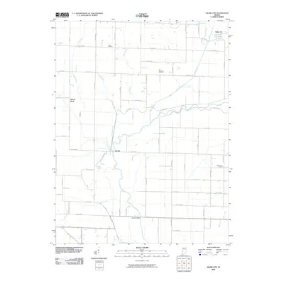
 - 2016 Map of Clay City, 2016 Print
 2016 Clay City2016 Print · USGSCovers Clay County, including Clay City, Smithville, and other nearby areas
Showing maps 1-25 of 50
Top cities of Clay County
- Brazil historical maps
- Clay City historical maps
- Knightsville historical maps
- Harmony historical maps
- Staunton historical maps
- Carbon historical maps
See more
Frequently asked questions
- What are the different types of historical maps available for Clay County?
- What is the oldest map of Clay County?
- Where can I purchase historical maps of Clay County for my home or office?
- Where can I download high-res historical maps of Clay County?
- Are there historical topographic maps available for Clay County?
- Is there historical aerial imagery available for Clay County?
- Where are historical maps of Clay County sourced from?