Old Maps of Clay County, Indiana for Genealogy
Trace your family roots with 76 historic maps of Clay County. These high-res maps reveal old neighborhoods, homesites, landmarks, and streets — helping you uncover where your ancestors lived and how the area evolved over time.
- Explore historic neighborhoods: Identify where your relatives may have lived in the 1800s or 1900s.
- Compare maps over time: Trace the changes in streets, buildings, and landmarks for multi-generational research.
- Perfect for genealogy & ancestry research: Used by family historians and researchers to map out lineage and migration.
These maps are an incredible resource for exploring your personal connection to Clay County's past.
Clay County, IN maps
(76)- 1908 Map of Clay City
 1908 Clay City1908 Print · USGSIndiana's coal and timber country comes alive in the years before the Great War, showing a landscape defined by deep river valleys and early rail lines. Genealogists can trace hundreds of family sites near Clay City and Center Point, or locate historic gathering places like Wesley Chapel and Roadman School.
 - 1910 Map of Clay City
 1910 Clay City1910 Print · USGSClay County at the height of its rail-and-river era shows a landscape shaped by coal transport and agriculture. You can trace the Wabash and Erie Canal, locate the Feederdam Bridge, and find dozens of family-named schoolhouses like Dutch Knob School.2 unique versions available
 - 1938 Map of Coal City
 1938 Coal City1938 Print · USGSSouthern Indiana at the end of the 1930s shows a landscape of small coal-mining towns and rural crossroads between the forks of the Eel River. Researchers can trace the path of the Wabash and Erie Canal and locate family roots at Coal City, Sink Cem, or Scaffold Prairie Ch.
 - 1940 Map of Jasonville
 1940 Jasonville1940 Print · USGSJasonville and the surrounding coalfields are captured in the late 1930s, showing a landscape defined by industry and rural community. Genealogists can locate family landmarks like Sanderson Cem, Little Flock Ch, and Listen Sch.2 unique versions available
 - 1948 Map of Coal City
 1948 Coal City1948 Print · USGSThe rural borderlands of Owen, Clay, and Greene Counties are shown here during the late 1940s, showcasing a landscape shaped by coal mining and transport. Researchers can trace the path of the Wabash and Erie Canal (Abandoned) and locate vanished landmarks like Stockton, Sink Cem, and the College Hill Sch.2 unique versions available
 - 1950 Map of Brazil East, 1952 Print
 1950 Brazil East1952 Print · USGSClay County at mid-century was a landscape defined by coal and transit, as massive industrial earthworks reshaped the outskirts of its communities. Genealogists and historians can trace the foundations of Brazil and Knightsville or locate rural landmarks like Wesley Chapel and Calcutta Cem.
 - 1950 Map of Brazil West, 1952 Print
 1950 Brazil West1952 Print · USGSClay County's western coalfields are shown in the 1950s as a landscape of active extraction and heavy rail transport. Genealogists and historians can locate numerous rural burial grounds like St Marys Cem alongside vanished industrial sites and the streets of Brazil.
 - 1953 Map of Coal City
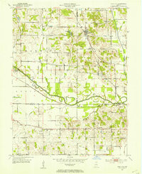 1953 Coal City1953 Print · USGSMid-century Owen and Clay counties are shown here during a peak era of surface mining and rail transport. Researchers can trace the Wabash and Erie Canal or locate rural landmarks like New Hope Ch and Tapawingo Lake.
 - 1953 Map of Indianapolis, 1965 Print
 1953 Indianapolis1965 Print · USGSCentral Indiana and the Illinois borderlands are captured in the mid-sixties, showing the growth of Indianapolis and its industrial rail corridors. Genealogists and historians can trace the development of outlying towns like Zionsville or Beech Grove and find landmarks such as Atterbury AAF and Turkey Run State Park.4 unique versions available
 - 1956 Map of Indianapolis
 1956 Indianapolis1956 Print · USGSCentral Indiana in the mid-fifties is captured during a period of industrial growth and military presence. Genealogists and historians can trace the rail networks of the New York Central or locate regional landmarks like Fort Benjamin Harrison and Camp Atterbury.
 - 1956 Map of Patricksburg, 1957 Print
 1956 Patricksburg1957 Print · USGSOwen County in the mid-fifties was a landscape defined by the intersection of rail transport and rural industry. Genealogists can trace the location of family burial grounds like Steubenville Cem and landmarks like Patricksburg or the Monon Line.2 unique versions available
 - 1957 Map of Indianapolis
 1957 Indianapolis1957 Print · USGSCentral Indiana in the mid-fifties is captured here as a crossroads of major rail lines and nascent federal highways. Genealogists and historians can trace family-named ridges like Poplar Ridge or locate strategic sites like Camp Atterbury and Speedway.2 unique versions available
 - 1957 Map of Center Point, 1958 Print
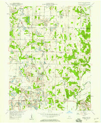 1957 Center Point1958 Print · USGSClay County at the dawn of the space age reveals a landscape defined by the PENNSYLVANIA railroad and scattered farming hamlets. Genealogists can trace family roots through the Gremes Cem and Killion Cem or locate old community centers like Center Point and Bowling Green.3 unique versions available
 - 1957 Map of Clay City, 1958 Print
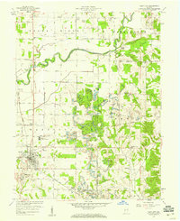 1957 Clay City1958 Print · USGSIndiana's Eel River valley comes into sharp focus during the late fifties, showing the interplay between rural agriculture and industrial rail lines. Genealogists can trace family roots through numerous sites like St Peters Ch, Middlebury, and the Red Brush Cem.2 unique versions available
 - 1957 Map of Saline City, 1958 Print
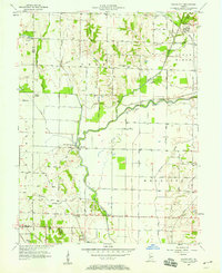 1957 Saline City1958 Print · USGSClay County's rural and industrial character is preserved here in the late fifties, showing the area's transition through mining and rail transport. Researchers can trace the MONON rail lines, locate the Neal Mill Bridge, and find family sites like Stagg Cem or Briley Chapel.4 unique versions available
 - 1957 Map of Poland, 1958 Print
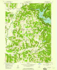 1957 Poland1958 Print · USGSCataract Lake and the Cagle Mill Dam emerge as major landmarks in the Indiana countryside of the mid-1950s. Genealogists can trace family names at Raab Crossroads or locate rural sites like Greeley Ch, Nier Cem, and Township Sch.4 unique versions available
 - 1958 Map of Staunton, 1959 Print
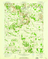 1958 Staunton1959 Print · USGSClay County at the end of the 1950s shows a landscape defined by the rails and the coal seams. You can trace the lineage of local families at Summit Lawn Cem and Mewhinney Cem, or follow the industrial activity of the Pennsylvania railroad near Staunton.4 unique versions available
 - 1960 Map of Brazil East
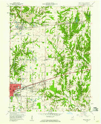 1960 Brazil East1960 Print · USGSClay County at the dawn of the 1960s shows a landscape of busy coal pits and industrial towns. Genealogists and historians can trace family locations near Knightsville, search for burials at Calcutta Cem, or follow the path of the Pennsylvania Railroad.3 unique versions available
 - 1960 Map of Brazil West, 1961 Print
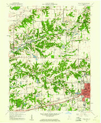 1960 Brazil West1961 Print · USGSThe coal country of Clay and Vigo counties is captured here in the early sixties, showing an era of intensive strip mining and rail transport. Genealogists can locate family names at Cottage Hill Cem and Archer Cem or trace vanished rail stops like Cobb and Billville.3 unique versions available
 - 1962 Map of Indianapolis
 1962 Indianapolis1962 Print · USGSCentral Indiana and the Illinois borderlands are captured here in the early sixties, showing the region's dense rail networks and growing urban centers. Genealogists and historians can locate family-named landmarks and institutions like Crown Hill Cem, Indiana University, and the Indianapolis Motor Speedway.
 - 1963 Map of Coal City, 1964 Print
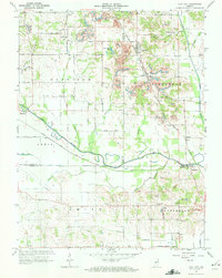 1963 Coal City1964 Print · USGSIndiana's western coal country is revealed in the early 1960s as a landscape of extraction and deep local roots. You can trace the New York Central rail line through Coal City or find family history at Winters Cem and the New Hope Ch.4 unique versions available
 - 1963 Map of Jasonville, 1965 Print
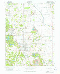 1963 Jasonville1965 Print · USGSThe coalfields of western Indiana are in full operation during the early sixties, centered on the rail-heavy hub of Jasonville. Researchers can trace the path of the historic Wabash and Erie Canal or locate local landmarks like Friendly Grove Ch and Oak Grove Cem.5 unique versions available
 - 1963 Map of Clay City, 1987 Print
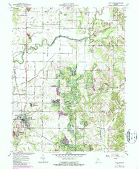 1963 Clay City1987 Print · USGSClay City and the surrounding townships are documented here during a period of steady rural character in the 1960s. Researchers can trace numerous country burial grounds and congregational sites like Red Brush Cem Ch, Goshorn Memorial Park, and Cole Cem.
 - 1986 Map of Paris
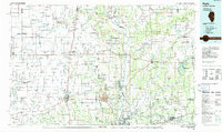 1986 Paris1986 Print · USGSThe Illinois-Indiana borderlands thrive in the mid-1980s as a hub of river-side industry and fertile farmland. Genealogists and historians can trace rail-centered settlements like Chrisman and Metcalf, or locate family sites at the Quaker Cem and Bethel Ch.2 unique versions available
 - 1986 Map of Bloomington
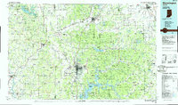 1986 Bloomington1986 Print · USGSMid-century development and vast conservation areas define south-central Indiana during the eighties. Genealogists and historians can trace family roots through numerous landmarks like Beanblossom Cem, New Unionville Church, and the historic corridors of the Indiana RR.3 unique versions available
Showing maps 1-25 of 76
Top cities of Clay County
- Brazil historical maps
- Clay City historical maps
- Knightsville historical maps
- Harmony historical maps
- Staunton historical maps
- Carbon historical maps
See more
Frequently asked questions
- What are the different types of historical maps available for Clay County?
- What is the oldest map of Clay County?
- Where can I purchase historical maps of Clay County for my home or office?
- Where can I download high-res historical maps of Clay County?
- Are there historical topographic maps available for Clay County?
- Is there historical aerial imagery available for Clay County?
- Where are historical maps of Clay County sourced from?