2020s Maps of Yorktown, Indiana
Explore 2 historic maps of Yorktown from the 2020s. These maps offer a rare glimpse into what life looked like during the 2020s — showing old roads, neighborhoods, homes, and landmarks that have changed or disappeared over time.
Whether you're researching your family's past, planning a metal detecting trip, or studying how Yorktown's landscape evolved across the 2020s, these high-resolution maps are a powerful tool for exploring the history of this region.
- Focus on a specific era: All maps on this page are from the 2020s, giving you a focused view of this time period.
- See what’s changed: Compare century-old streets, trails, and buildings to today's modern landscape using overlays and satellite layers.
- Research with precision: Use these maps for genealogy, historical research, land use analysis, or educational projects.
- View, download, or print: Maps are fully viewable online in high resolution, and can be downloaded or printed for your own records.
Start exploring Yorktown's history through authentic maps from the 2020s. This is your window into the past.
Yorktown, IN maps
(2)- 2022 Map of Muncie West, 2022 Print
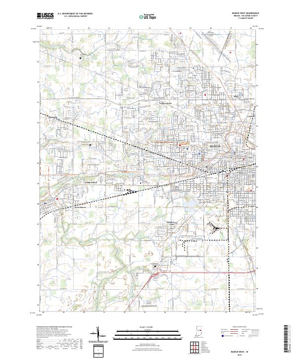 2022 Muncie West2022 Print · USGSDelaware County in the early 2020s shows a landscape defined by collegiate expansion and riverfront settlements. Researchers can trace family history at Nottingham Cemetery or study the growth of Yorktown and Ball State University.
 - 2022 Map of Gilman, 2022 Print
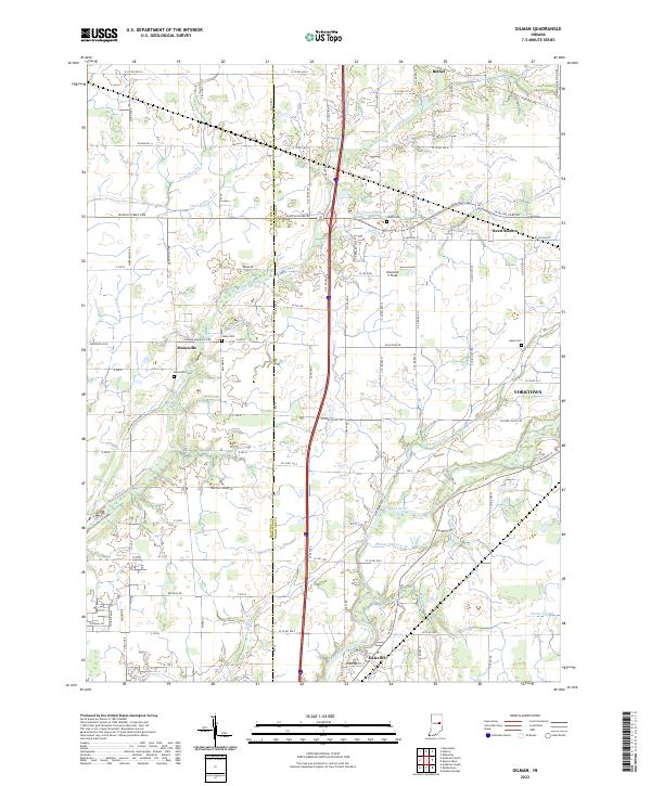 2022 Gilman2022 Print · USGSThe Madison and Delaware county line comes alive in the early 2020s, showing the settled corridors along the White River. Family historians can locate rural landmarks like Moonville Cem and traces of old rail and road networks at Reed Station.
End of results
Showing maps 1-2 of 2
Top cities near Yorktown
- Muncie historical maps
- Anderson historical maps
- Alexandria historical maps
- Fairmount historical maps
- Chesterfield historical maps
- Middletown historical maps
See more
Top neighborhoods of Yorktown
Frequently asked questions
- What are the different types of historical maps available for Yorktown?
- What is the oldest map of Yorktown?
- Where can I purchase historical maps of Yorktown for my home or office?
- Where can I download high-res historical maps of Yorktown?
- Are there historical topographic maps available for Yorktown?
- Is there historical aerial imagery available for Yorktown?
- Where are historical maps of Yorktown sourced from?