Old Maps of Yorktown, Indiana for Academic Research
Study the evolution of Yorktown with 18 high-resolution historic maps. Whether you're teaching, researching, or modeling changes in land use, these maps provide essential visual documentation of urban, environmental, and geographic change.
- Analyze long-term change: Track patterns in development, transportation, and natural features.
- Ideal for environmental or urban studies: Support academic projects with primary historical map data.
- Use in the classroom or lab: Educators and researchers rely on these maps to bring historical context to life.
These maps are a powerful tool for teaching, research, and visualizing how Yorktown has changed over the decades.
Yorktown, IN maps
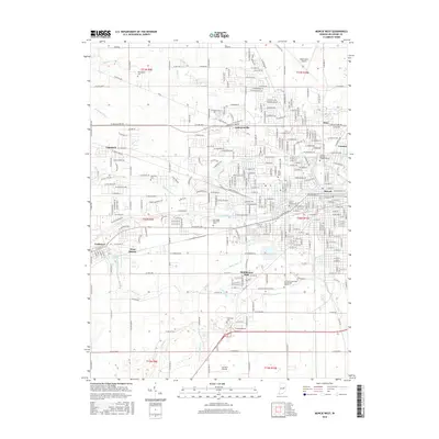
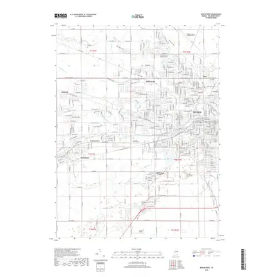
(18)- 1952 Map of Muncie West, 1953 Print
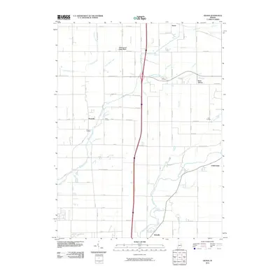
 1952 Muncie West1953 Print · USGSMid-century Muncie and western Delaware County are captured here at a time of significant educational and residential growth. Genealogists and local historians can trace the foundations of Ball State Teachers College or locate family plots in Beech Grove Cemetery and McKinley Cem.2 unique versions available
 - 1953 Map of Muncie, 1966 Print
 1953 Muncie1966 Print · USGSIndiana and Ohio borderlands thrive in the early fifties, showing a landscape defined by manufacturing cities and an intensive railroad network. Genealogists can trace family roots across the Indiana-Ohio line through Muncie, Celina, and Portland via the Pennsylvania railroad.5 unique versions available
 - 1956 Map of Muncie
 1956 Muncie1956 Print · USGSEastern Indiana and western Ohio are shown at a peak of rail-driven industry in the mid-fifties. Genealogists and rail historians can trace the paths of the Pennsylvania RR through Muncie or locate landmarks like Lake Saint Marys (Grand Lake Reservoir) and Frances Slocum State Forest.
 - 1960 Map of Gilman
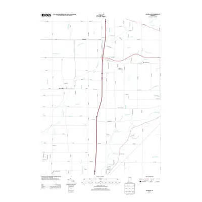
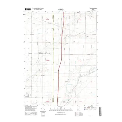
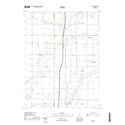
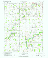 1960 Gilman1960 Print · USGSThe Indiana countryside near Daleville and Gilman is shown here in the early 1960s, a landscape defined by its river bends and intersecting rail lines. Researchers can trace family sites at Vermillion Meetinghouse, identify old burials at Jones Cem, or locate former rail stops at Reed Station and Moonville.5 unique versions available
 - 1962 Map of Muncie West, 1964 Print
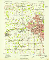
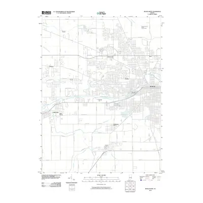
 1962 Muncie West1964 Print · USGSMid-century Muncie and Yorktown are documented here during a period of rapid residential growth and institutional expansion. Genealogists and local historians can trace family roots through Antioch Ch, Elm Ridge Cemetery, and early additions like Andersonville.
 - 1969 Map of Muncie West, 1971 Print
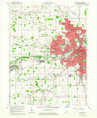
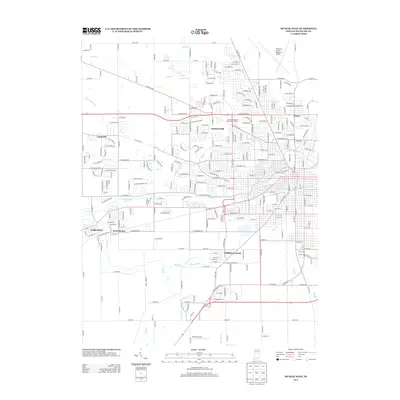
 1969 Muncie West1971 Print · USGSMuncie and Yorktown are captured in a period of significant mid-century growth as suburban neighborhoods began to merge with rural townships. Genealogists and local historians can trace the foundations of BALL STATE UNIVERSITY, the sprawling grounds of BEECH GROVE CEMETERY, and the former tracks of the CHESAPEAKE AND OHIO railroad.3 unique versions available
 - 1986 Map of Muncie
 1986 Muncie1986 Print · USGSEast Central Indiana was a hub of manufacturing and higher education in the mid-eighties. Genealogists and historians can trace the streets of Muncie, locate rural Cem sites, and explore landmarks like Mounds State Park and Taylor Univ.3 unique versions available
 - 1992 Map of Muncie West, 1995 Print
 1992 Muncie West1995 Print · USGSMuncie and Yorktown are shown during a period of suburban expansion and academic growth in the early nineties. Researchers can trace the development of Ball State University and locate family names at Beech Grove Cemetery or Mt Zion Cem.2 unique versions available
 - 2010 Map of Gilman, 2010 Print
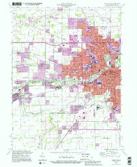
 2010 Gilman2010 Print · USGSCovers Yorktown, including Daleville, Gilman, and other nearby areas
 - 2010 Map of Muncie West, 2010 Print
 2010 Muncie West2010 Print · USGSCovers Yorktown, including Muncie, Cammack, and other nearby areas
 - 2013 Map of Muncie West, 2013 Print
 2013 Muncie West2013 Print · USGSCovers Yorktown, including Muncie, Cammack, and other nearby areas
 - 2013 Map of Gilman, 2013 Print
 2013 Gilman2013 Print · USGSCovers Yorktown, including Daleville, Gilman, and other nearby areas
 - 2016 Map of Gilman, 2016 Print
 2016 Gilman2016 Print · USGSCovers Yorktown, including Daleville, Gilman, and other nearby areas
 - 2016 Map of Muncie West, 2016 Print
 2016 Muncie West2016 Print · USGSCovers Yorktown, including Muncie, Cammack, and other nearby areas
 - 2019 Map of Muncie West, 2019 Print
 2019 Muncie West2019 Print · USGSCovers Yorktown, including Muncie, Cammack, and other nearby areas
 - 2019 Map of Gilman, 2019 Print
 2019 Gilman2019 Print · USGSCovers Yorktown, including Daleville, Gilman, and other nearby areas
 - 2022 Map of Muncie West, 2022 Print
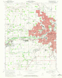
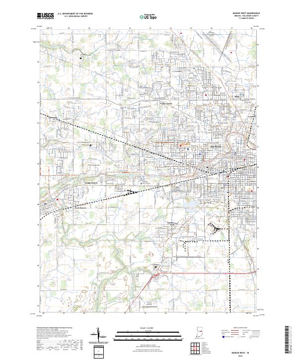 2022 Muncie West2022 Print · USGSDelaware County in the early 2020s shows a landscape defined by collegiate expansion and riverfront settlements. Researchers can trace family history at Nottingham Cemetery or study the growth of Yorktown and Ball State University.
 - 2022 Map of Gilman, 2022 Print
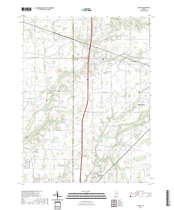 2022 Gilman2022 Print · USGSThe Madison and Delaware county line comes alive in the early 2020s, showing the settled corridors along the White River. Family historians can locate rural landmarks like Moonville Cem and traces of old rail and road networks at Reed Station.
End of results
Showing maps 1-18 of 18
Top cities near Yorktown
- Muncie historical maps
- Anderson historical maps
- Alexandria historical maps
- Fairmount historical maps
- Chesterfield historical maps
- Middletown historical maps
See more
Top neighborhoods of Yorktown
Frequently asked questions
- What are the different types of historical maps available for Yorktown?
- What is the oldest map of Yorktown?
- Where can I purchase historical maps of Yorktown for my home or office?
- Where can I download high-res historical maps of Yorktown?
- Are there historical topographic maps available for Yorktown?
- Is there historical aerial imagery available for Yorktown?
- Where are historical maps of Yorktown sourced from?