2000s (21st Century) Maps of Dubois County, Indiana
Explore 80 historic maps of Dubois County from the 2000s (21st Century). These maps offer a rare glimpse into what life looked like during the 2000s — showing old roads, neighborhoods, homes, and landmarks that have changed or disappeared over time.
Whether you're researching your family's past, planning a metal detecting trip, or studying how Dubois County's landscape evolved across the 2000s, these high-resolution maps are a powerful tool for exploring the history of this region.
- Focus on a specific era: All maps on this page are from the 2000s, giving you a focused view of this time period.
- See what’s changed: Compare century-old streets, trails, and buildings to today's modern landscape using overlays and satellite layers.
- Research with precision: Use these maps for genealogy, historical research, land use analysis, or educational projects.
- View, download, or print: Maps are fully viewable online in high resolution, and can be downloaded or printed for your own records.
Start exploring Dubois County's history through authentic maps from the 2000s. This is your window into the past.
Dubois County, IN maps
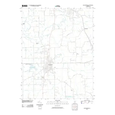
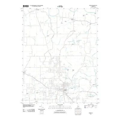
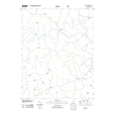
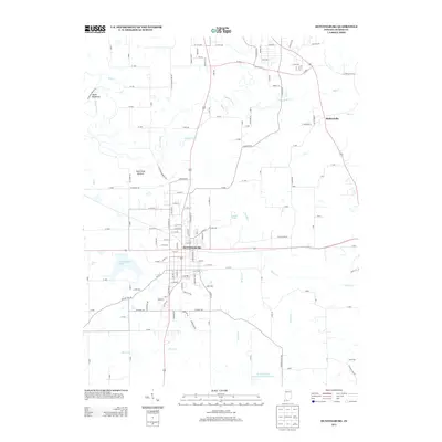
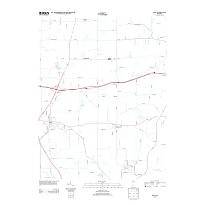
(80)- 2010 Map of Otwell, 2010 Print
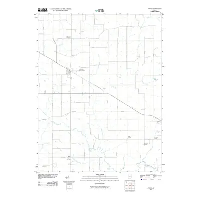 2010 Otwell2010 Print · USGSCovers Dubois County, including Otwell, White Sulphur Springs, and other nearby areas
 - 2010 Map of Saint Anthony, 2010 Print
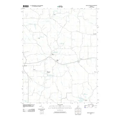 2010 Saint Anthony2010 Print · USGSCovers Dubois County, including Saint Marks, Kyana, and other nearby areas
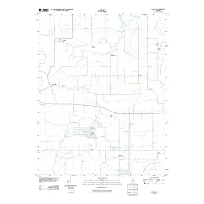
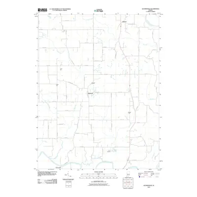
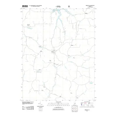
 - 2010 Map of Glendale, 2010 Print
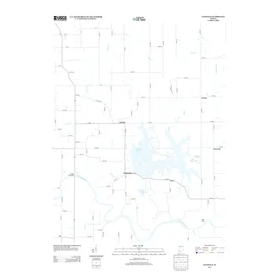
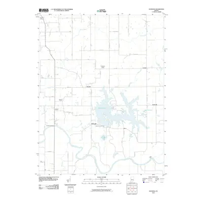 2010 Glendale2010 Print · USGSCovers Dubois County, including Glendale, Hudsonville, and other nearby areas
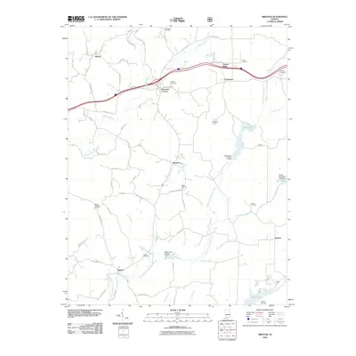
 - 2010 Map of Saint Meinrad, 2010 Print
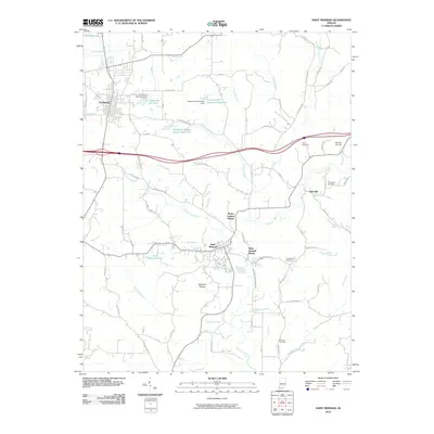 2010 Saint Meinrad2010 Print · USGSCovers Dubois County, including Ferdinand, Saint Josephs Shrine, and other nearby areas
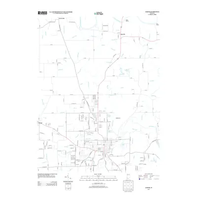
 - 2010 Map of Huntingburg, 2010 Print
 2010 Huntingburg2010 Print · USGSCovers Dubois County, including Jasper, Huntingburg, and other nearby areas
 - 2010 Map of Velpen, 2010 Print
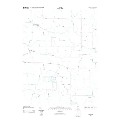
 2010 Velpen2010 Print · USGSCovers Dubois County, including Holland, Millersport, and other nearby areas
 - 2010 Map of Dale, 2010 Print
 2010 Dale2010 Print · USGSCovers Dubois County, including Ferdinand, Dale, and other nearby areas
 - 2010 Map of Holland, 2010 Print
 2010 Holland2010 Print · USGSCovers Dubois County, including Dale, Holland, and other nearby areas
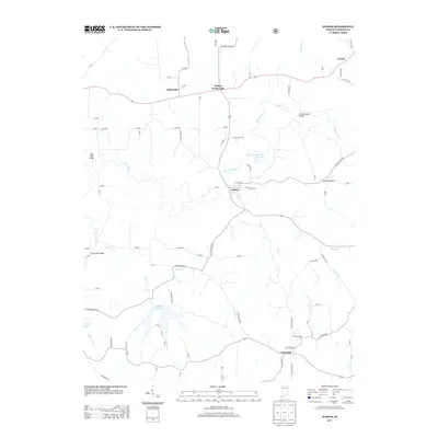
 - 2010 Map of Jasper, 2010 Print
 2010 Jasper2010 Print · USGSCovers Dubois County, including Jasper, Ireland, and other nearby areas
 - 2010 Map of Alfordsville, 2010 Print
 2010 Alfordsville2010 Print · USGSCovers Dubois County, including Alfordsville, Whitfield, and other nearby areas
 - 2010 Map of Dubois, 2010 Print
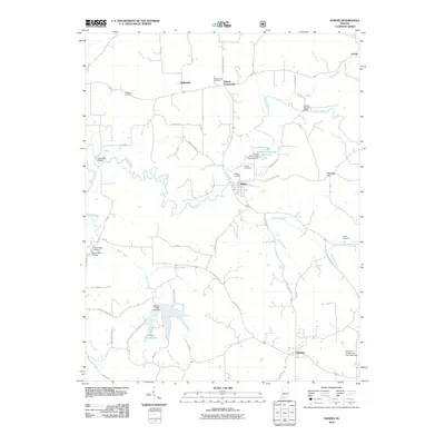 2010 Dubois2010 Print · USGSCovers Dubois County, including Dubois, Kellerville, and other nearby areas
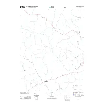
 - 2010 Map of Bristow, 2010 Print
 2010 Bristow2010 Print · USGSCovers Dubois County, including Kitterman Corners, Fosters Ridge, and other nearby areas
 - 2010 Map of Hillham, 2010 Print
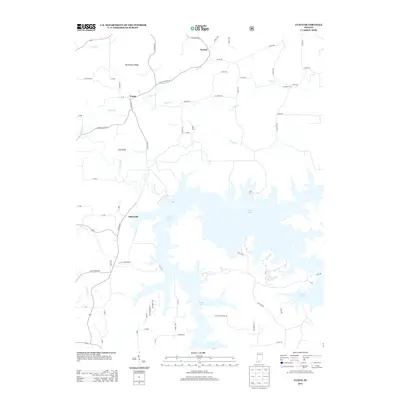
 2010 Hillham2010 Print · USGSCovers Dubois County, including French Lick, Natchez, and other nearby areas
 - 2010 Map of Birdseye, 2010 Print
 2010 Birdseye2010 Print · USGSCovers Dubois County, including Mentor, Birdseye, and other nearby areas
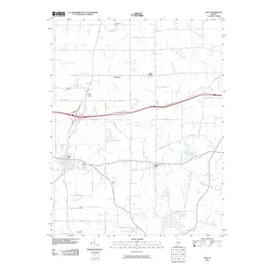
 - 2010 Map of Rusk, 2010 Print
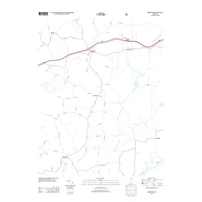
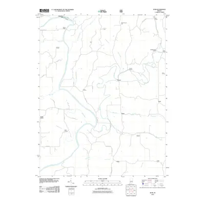 2010 Rusk2010 Print · USGSCovers Dubois County, including Thales, Rusk, and other nearby areas
 - 2011 Map of Cuzco, 2011 Print
 2011 Cuzco2011 Print · USGSCovers Dubois County, including Ellsworth, Cuzco, and other nearby areas
 - 2013 Map of Glendale, 2013 Print
 2013 Glendale2013 Print · USGSCovers Dubois County, including Glendale, Hudsonville, and other nearby areas
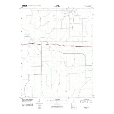
 - 2013 Map of Velpen, 2013 Print
 2013 Velpen2013 Print · USGSCovers Dubois County, including Holland, Millersport, and other nearby areas
 - 2013 Map of Cuzco, 2013 Print
 2013 Cuzco2013 Print · USGSCovers Dubois County, including Ellsworth, Cuzco, and other nearby areas
 - 2013 Map of Bristow, 2013 Print
 2013 Bristow2013 Print · USGSCovers Dubois County, including Kitterman Corners, Fosters Ridge, and other nearby areas
 - 2013 Map of Huntingburg, 2013 Print
 2013 Huntingburg2013 Print · USGSCovers Dubois County, including Jasper, Huntingburg, and other nearby areas
 - 2013 Map of Hillham, 2013 Print
 2013 Hillham2013 Print · USGSCovers Dubois County, including French Lick, Natchez, and other nearby areas
 - 2013 Map of Dubois, 2013 Print
 2013 Dubois2013 Print · USGSCovers Dubois County, including Dubois, Kellerville, and other nearby areas
 - 2013 Map of Jasper, 2013 Print
 2013 Jasper2013 Print · USGSCovers Dubois County, including Jasper, Ireland, and other nearby areas
 - 2013 Map of Dale, 2013 Print
 2013 Dale2013 Print · USGSCovers Dubois County, including Ferdinand, Dale, and other nearby areas
Showing maps 1-25 of 80
Top cities of Dubois County
Frequently asked questions
- What are the different types of historical maps available for Dubois County?
- What is the oldest map of Dubois County?
- Where can I purchase historical maps of Dubois County for my home or office?
- Where can I download high-res historical maps of Dubois County?
- Are there historical topographic maps available for Dubois County?
- Is there historical aerial imagery available for Dubois County?
- Where are historical maps of Dubois County sourced from?