Old Maps of New Paris, Indiana for Hiking & Exploration
Hike through history with 18 historic maps of New Paris. Explore old trails, ghost towns, and forgotten backroads — perfect for outdoor adventurers and local explorers.
- Rediscover forgotten places: Map out old mining camps, roads, and footpaths that no longer exist on modern maps.
- Layer with modern tools: Combine with LiDAR or satellite views to plan hikes through historical terrain.
- Made for exploration: Popular among hikers, overlanders, and local history lovers.
Use these maps to find adventure and explore the hidden past of New Paris.
New Paris, IN maps
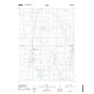
(18)- 1951 Map of Milford
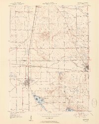 1951 Milford1951 Print · USGSKosciusko and Elkhart counties are captured in the early fifties at a peak of rail activity and lakeside development. Genealogists and rail historians can trace the crossing of three major lines at Milford Junction or locate family sites like Pleasant View Cem Ch and Bethany Sch.2 unique versions available
 - 1953 Map of Fort Wayne, 1963 Print
 1953 Fort Wayne1963 Print · USGSNortheast Indiana and its neighboring borderlands in Michigan and Ohio appear here during a peak era of rail and road expansion. Researchers can trace the massive rail networks of the Nickel Plate Road and Wabash or locate lakeside landmarks like Lake Wawasee and Clear Lake.4 unique versions available
 - 1956 Map of Fort Wayne
 1956 Fort Wayne1956 Print · USGSThe tri-state borderlands of Indiana, Michigan, and Ohio are captured here in the mid-fifties, centered on the growing industrial hub of Fort Wayne. Researchers can trace the heavy rail lines of the New York Central and Pennsylvania alongside prominent water features like Lake Wawasee and the Maumee River.2 unique versions available
 - 1959 Map of Goshen, 1961 Print
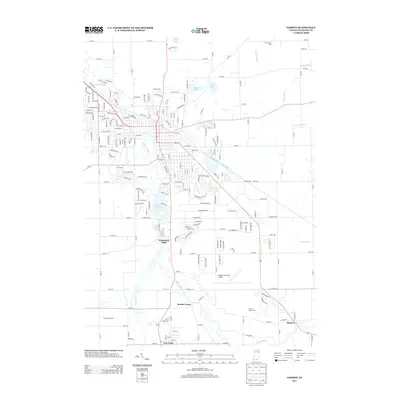
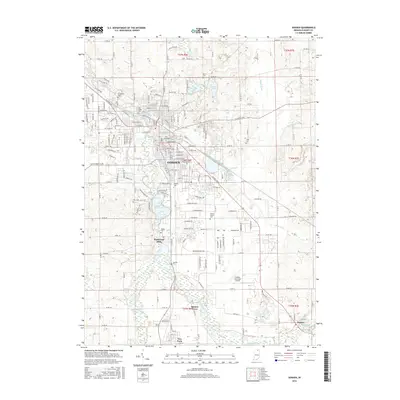
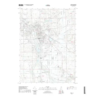
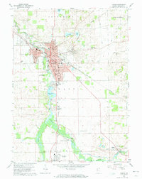 1959 Goshen1961 Print · USGSGoshen and its surrounding townships are captured in the late fifties, showing a landscape shaped by the Elkhart River and major rail lines. Genealogists and local historians can locate early family burial sites like Studebaker Cem and trace the paths of the New York Central and Wabash Railroad through New Paris and Benton.4 unique versions available
 - 1962 Map of Milford, 1963 Print
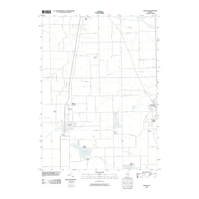
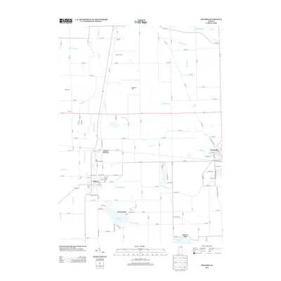
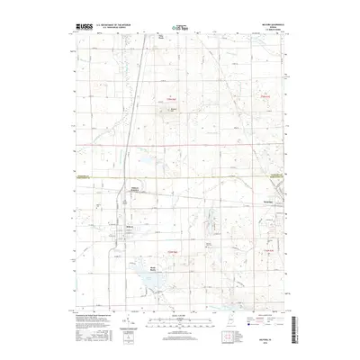
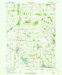 1962 Milford1963 Print · USGSNorthern Indiana's rail and river networks are in full view during the early sixties, centered on the crossing of major lines. Genealogists and local historians can trace the locations of Milford Cem, Bethany Sch, and family sites near Wabee Lake.3 unique versions available
 - 1984 Map of Fort Wayne, 1985 Print
 1984 Fort Wayne1985 Print · USGSNortheast Indiana in the mid-1980s reveals a complex landscape of glacial lakes, thriving college towns, and heavy rail infrastructure. Researchers can trace the development of Winona Lake, locate Manchester College in North Manchester, and find rural landmarks like Oakwood Cem or the Tri-County State Fish and Game Area.
 - 1985 Map of Elkhart
 1985 Elkhart1985 Print · USGSThe Indiana-Michigan borderlands come into focus in the mid-1980s, showcasing the industrial rail hubs and rural agricultural townships of the St. Joseph valley. Genealogists and historians can trace the growth of Elkhart, Goshen, and Three Rivers, or locate smaller communities like Middlebury and White Pigeon.2 unique versions available
 - 1994 Map of Fort Wayne
 1994 Fort Wayne1994 Print · USGSNortheast Indiana in the mid-nineties shows a landscape deeply tied to its glacial lakes and early rail networks. Genealogists and historians can trace old transit lines like the Old Ind RR and explore lakeside settlements such as Enchanted Hills and Syracuse.
 - 2010 Map of Goshen, 2010 Print
 2010 Goshen2010 Print · USGSCovers New Paris, including Goshen, Benton, and other nearby areas
 - 2010 Map of Milford, 2010 Print
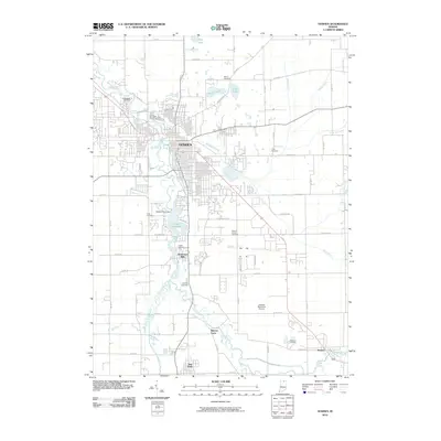
 2010 Milford2010 Print · USGSCovers New Paris, including Syracuse, Milford, and other nearby areas
 - 2013 Map of Milford, 2013 Print
 2013 Milford2013 Print · USGSCovers New Paris, including Syracuse, Milford, and other nearby areas
 - 2013 Map of Goshen, 2013 Print
 2013 Goshen2013 Print · USGSCovers New Paris, including Goshen, Benton, and other nearby areas
 - 2016 Map of Goshen, 2016 Print
 2016 Goshen2016 Print · USGSCovers New Paris, including Goshen, Benton, and other nearby areas
 - 2016 Map of Milford, 2016 Print
 2016 Milford2016 Print · USGSCovers New Paris, including Syracuse, Milford, and other nearby areas
 - 2019 Map of Milford, 2019 Print
 2019 Milford2019 Print · USGSCovers New Paris, including Syracuse, Milford, and other nearby areas
 - 2019 Map of Goshen, 2019 Print
 2019 Goshen2019 Print · USGSCovers New Paris, including Goshen, Benton, and other nearby areas
 - 2022 Map of Goshen, 2022 Print
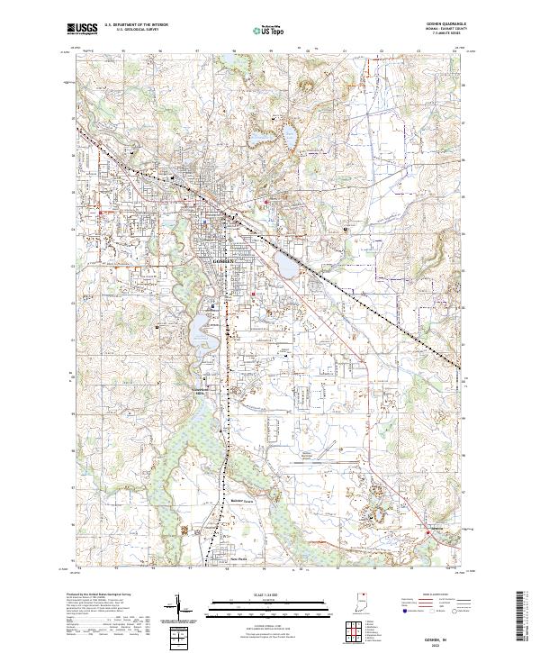 2022 Goshen2022 Print · USGSGoshen and its surrounding river settlements are captured here in the early twenty-first century as the region balances its civic roots with growing trail networks. Genealogists and local historians can trace the sites of Waterford Mills, Bainter Town, and Benton, alongside local landmarks like Goshen College and Elkhart Prairie Cem.
 - 2022 Map of Milford, 2022 Print
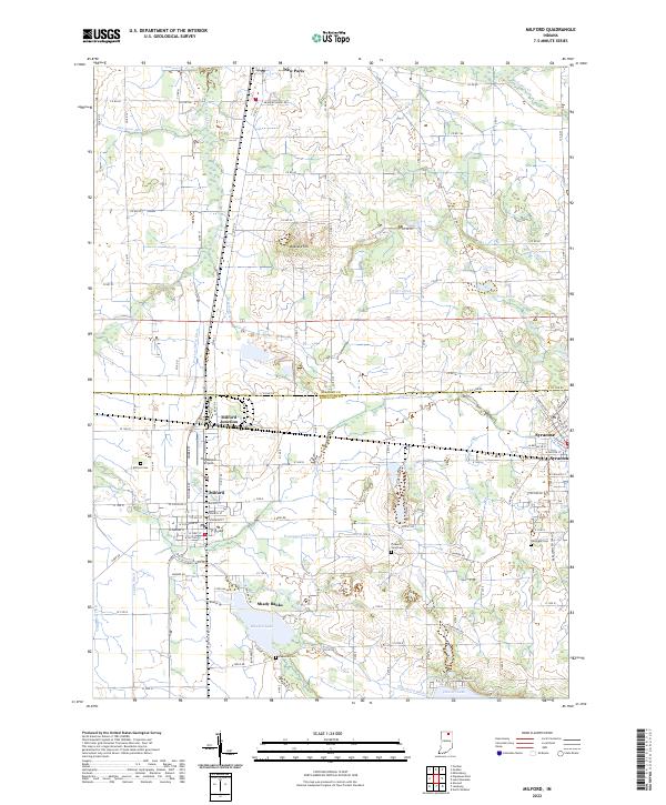 2022 Milford2022 Print · USGSThe lakeside communities and farming townships of northern Indiana are captured here in the early 2020s. Genealogists and researchers can trace family plots at Milford Cem or follow the Norfolk Southern rail lines through Milford Junction and Syracuse.
End of results
Showing maps 1-18 of 18
Top cities near New Paris
- Elkhart historical maps
- Goshen historical maps
- Warsaw historical maps
- Nappanee historical maps
- Locke historical maps
- Ligonier historical maps
See more
Frequently asked questions
- What are the different types of historical maps available for New Paris?
- What is the oldest map of New Paris?
- Where can I purchase historical maps of New Paris for my home or office?
- Where can I download high-res historical maps of New Paris?
- Are there historical topographic maps available for New Paris?
- Is there historical aerial imagery available for New Paris?
- Where are historical maps of New Paris sourced from?