Old Maps of Brookville, Indiana for Metal Detecting
Plan your next treasure hunt with 19 historic maps of Brookville. Find old homesites, ghost towns, trails, and gathering spots that may be lost to time — perfect for identifying promising metal detecting locations.
- Locate forgotten sites: Uncover places like long-lost settlements, abandoned rail lines, or gathering spots.
- Plan better hunts: Use map overlays combined with LiDAR or satellite views to narrow in on historically rich areas.
- Made for detectorists: Thousands of hobbyists use these maps to discover relics, coins, and hidden history.
Use these historic maps to boost your research and find new opportunities beneath the surface of Brookville.
Brookville, IN maps
(19)- 1915 Map of Harrison
 1915 Harrison1915 Print · USGSThe Indiana-Ohio borderlands come into focus during the mid-teens, showing a landscape of river-valley settlements and rural school districts. Genealogists can locate family landmarks like Vannatta School, Davis School, and the village of Okeana along the Dry Fork.
 - 1953 Map of Cincinnati, 1965 Print
 1953 Cincinnati1965 Print · USGSThe Ohio River valley and the industrial heartland of Indiana and Ohio are captured here during the mid-century peak of rail and river commerce. Genealogists and historians can trace connections between Cincinnati and outlying military sites like Camp Atterbury and Bakalar AFB.3 unique versions available
 - 1955 Map of Mount Carmel, 1956 Print
 1955 Mount Carmel1956 Print · USGSFranklin County's river valleys and rural uplands are shown in detail during the mid-fifties, capturing the region's agricultural and transit network. Genealogists can locate family landmarks such as James Cem, the Township Sch, and the community of Mount Carmel.2 unique versions available
 - 1956 Map of Brookville, 1957 Print
 1956 Brookville1957 Print · USGSFranklin County in the mid-1950s was a landscape defined by the convergence of the Whitewater forks and the legacy of the canal era. Researchers can trace historic family burial sites at Maple Grove Cemetery and St Michaels Cem, or locate landmarks like the Whitewater Canal Memorial Lock and Covered Bridge.
 - 1957 Map of Cincinnati
 1957 Cincinnati1957 Print · USGSThe Ohio River valley and its surrounding highlands thrived during the mid-fifties industrial peak, centered on the bustling Cincinnati and Dayton metropolitan hubs. Researchers can trace the extensive rail networks and military sites like Wright-Patterson AFB and Camp Atterbury.
 - 1972 Map of Brookville, 1973 Print
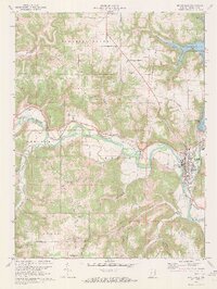 1972 Brookville1973 Print · USGSBrookville and the Whitewater River valley are captured in the early seventies, showing a landscape shaped by both historic canals and modern reservoirs. Researchers can trace family sites at St Michaels Ch and Maple Grove Cem or locate the Whitewater Canal Memorial Lock.3 unique versions available
 - 1974 Map of Whitcomb, 1975 Print
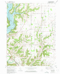 1974 Whitcomb1975 Print · USGSFranklin County's landscape shows the transformation from a river valley to a reservoir environment in the mid-1970s. Trace local roots at Big Cedar Ch, explore the community of Mount Carmel, or locate the historic earthworks of The Mounds.3 unique versions available
 - 1986 Map of Cincinnati
 1986 Cincinnati1986 Print · USGSGreater Cincinnati and its tri-state surrounds are captured here in the mid-eighties as suburban growth reached into the neighboring hills and river valleys. Researchers can trace the development of transit hubs like Greater Cincinnati International Airport and historic sites such as Spring Grove Cemetery.3 unique versions available
 - 1986 Map of Greensburg
 1986 Greensburg1986 Print · USGSSoutheastern Indiana in the mid-eighties shows a balance of growing industrial centers and deeply rooted rural communities. Family historians can trace landmarks like the Highland Center School, South Park Cemetery, and the Bartholomew County Courthouse among the river forks.2 unique versions available
 - 2010 Map of Whitcomb, 2010 Print
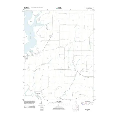 2010 Whitcomb2010 Print · USGSFranklin County, Indiana, is shown here in the modern era as a landscape defined by the waters of Brookville Lake. Researchers can trace the rural layout of Whitcomb and Palestine, or locate family burial sites at Jarries Cemetery and Mount Carmel Cemetery.
 - 2010 Map of Brookville, 2010 Print
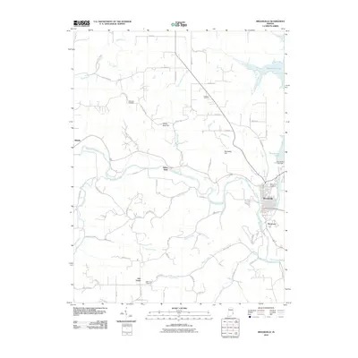 2010 Brookville2010 Print · USGSFranklin County at the start of the 2010s shows a landscape shaped by the Whitewater River and the massive Brookville Lake reservoir. Local historians can trace old family burial grounds like McKenzie Cemetery and vanished-feeling hamlets like Yellow Bank or Oak Forest.
 - 2013 Map of Whitcomb, 2013 Print
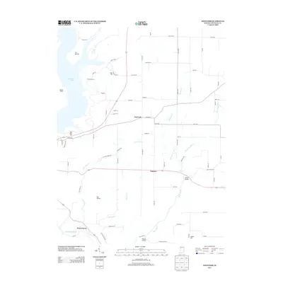 2013 Whitcomb2013 Print · USGSIn the early twenty-first century, this Franklin County area highlights a landscape of reservoir waters and rural hamlets. Researchers can trace the local geography through family-named pikes and deep hollows, from Whitcomb down to Sleepy Hollow and Mound Haven.
 - 2013 Map of Brookville, 2013 Print
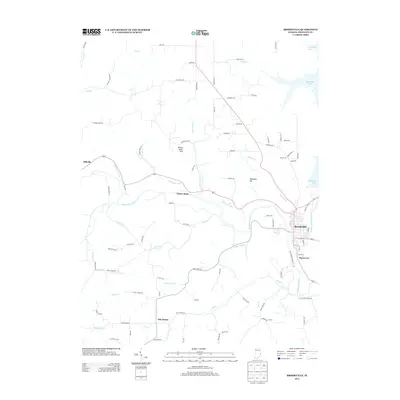 2013 Brookville2013 Print · USGSFranklin County in the early twenty-first century remains centered on the confluence of the Whitewater forks. Local historians can trace the historic route of the Whitewater Canal near Yellow Bank and explore the residential growth of Brookville and Stavetown.
 - 2016 Map of Whitcomb, 2016 Print
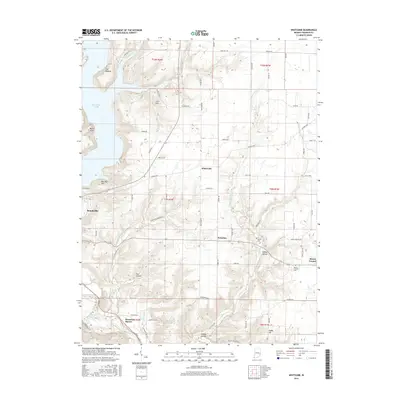 2016 Whitcomb2016 Print · USGSFranklin County's rural landscape is captured here in the mid-2010s, showcasing the intersection of the Brookville Lake shoreline and historic upland settlements. Researchers can trace family roots through James Cem and find old community hubs like Whitcomb and Palestine.
 - 2016 Map of Brookville, 2016 Print
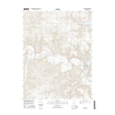 2016 Brookville2016 Print · USGSFranklin County in the mid-2010s shows the enduring layout of river-valley settlements and historic waterworks. Genealogists can trace family sites at Saint Michaels Cem or Ebenezer Cem and follow the route of the Whitewater Canal.
 - 2019 Map of Whitcomb, 2019 Print
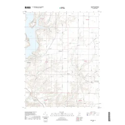 2019 Whitcomb2019 Print · USGSBrookville and the rolling uplands of Franklin County are shown here in the late twenty-teens, featuring a landscape of steep hollows and high ridges. Researchers can locate family landmarks and rural settlements like Whitcomb, Palestine, and the James Cem, or trace the recreational trails surrounding Brookville Lake.
 - 2019 Map of Brookville, 2019 Print
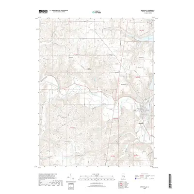 2019 Brookville2019 Print · USGSFranklin County's river valleys and uplands are shown in high detail in this modern survey. Researchers can trace family sites through old burial grounds like Ebenezer Cem and McKenzie Cem or explore the river corridor near Stavetown.
 - 2022 Map of Brookville, 2022 Print
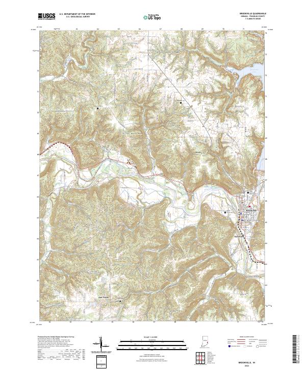 2022 Brookville2022 Print · USGSFranklin County's river valleys and ridge-top settlements are captured here in the early twenty-first century. Researchers can trace historical routes along the Whitewater Canal Trl and locate rural burial sites like McKenzie Cem and Ebenezer Cem.
 - 2022 Map of Whitcomb, 2022 Print
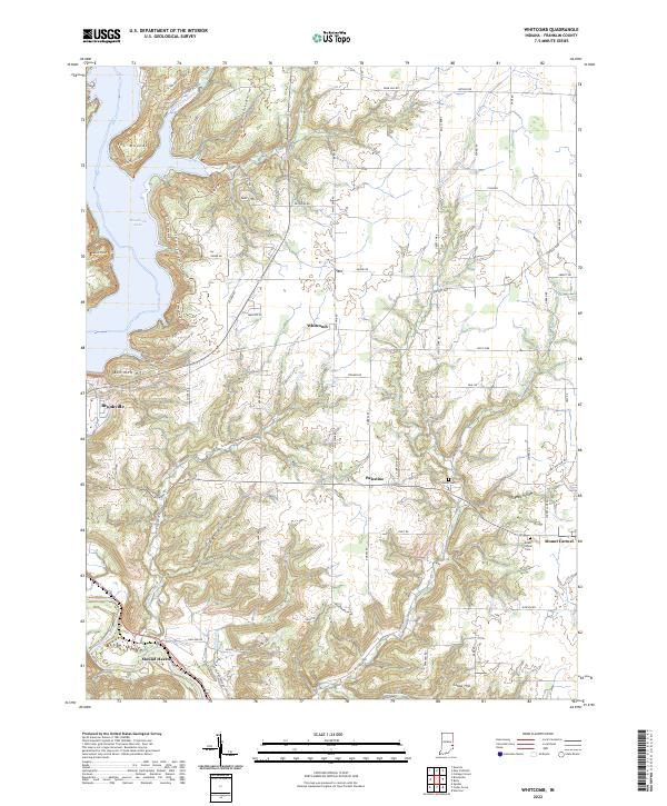 2022 Whitcomb2022 Print · USGSFranklin County in the 2020s shows a landscape of modern lake recreation and deep-seated rural roots. Researchers can trace historic family-named landmarks like James Cem and Cobbs Hill or explore settlements at Whitcomb and Mount Carmel.
End of results
Showing maps 1-19 of 19
Top cities near Brookville
- Connersville historical maps
- Harrison historical maps
- Batesville historical maps
- Reily Township historical maps
- Logan historical maps
- Liberty historical maps
See more
Frequently asked questions
- What are the different types of historical maps available for Brookville?
- What is the oldest map of Brookville?
- Where can I purchase historical maps of Brookville for my home or office?
- Where can I download high-res historical maps of Brookville?
- Are there historical topographic maps available for Brookville?
- Is there historical aerial imagery available for Brookville?
- Where are historical maps of Brookville sourced from?