Old Maps of Sheridan, Indiana for Academic Research
Study the evolution of Sheridan with 18 high-resolution historic maps. Whether you're teaching, researching, or modeling changes in land use, these maps provide essential visual documentation of urban, environmental, and geographic change.
- Analyze long-term change: Track patterns in development, transportation, and natural features.
- Ideal for environmental or urban studies: Support academic projects with primary historical map data.
- Use in the classroom or lab: Educators and researchers rely on these maps to bring historical context to life.
These maps are a powerful tool for teaching, research, and visualizing how Sheridan has changed over the decades.
Sheridan, IN maps
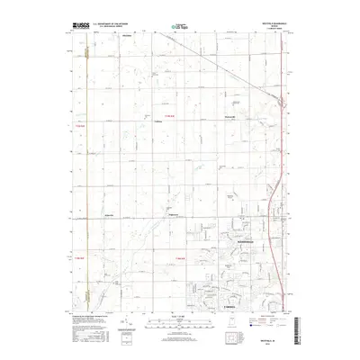
(18)- 1953 Map of Westfield, 1954 Print
 1953 Westfield1954 Print · USGSHamilton County agricultural life in the early fifties is preserved here, showing the rural rail junctions before modern expansion. Genealogists can locate family landmarks like the Little Eagle Creek Ch, Sugar Grove Cem, and the old Washington High Sch.2 unique versions available
 - 1953 Map of Danville, 1965 Print
 1953 Danville1965 Print · USGSIndiana and Illinois crossroads come to life in this mid-century survey as the interstate era begins to reshape the river-and-rail landscape. Genealogists and collectors can trace the historic paths of the Nickel Plate railroad or locate smaller communities like Veedersburg, Goodland, and Bismarck.3 unique versions available
 - 1955 Map of Danville
 1955 Danville1955 Print · USGSThe Indiana-Illinois borderlands during the mid-fifties reveal a landscape of thriving rail hubs and university towns. Researchers can trace the legacy of Purdue University, the Tippecanoe Battlefield, and the path of the Pennsylvania RR.
 - 1956 Map of Danville
 1956 Danville1956 Print · USGSMid-century Indiana and Illinois are captured here as the river-and-rail economy evolved into the modern highway era. Researchers can trace ancestral roots and old transport lines through Logansport, Battle Ground, and the dams at Lake Shafer.
 - 1961 Map of Sheridan, 1962 Print
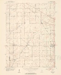
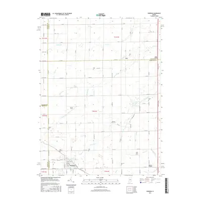
 1961 Sheridan1962 Print · USGSSheridan and the surrounding Indiana farm country are captured here at the start of the 1960s, showing a landscape defined by rail and early aviation. Researchers can trace the MONON line through town or locate family sites at Crown Hill Cem, Wiles Cem, and Hills Ch.3 unique versions available
 - 1969 Map of Westfield, 1971 Print
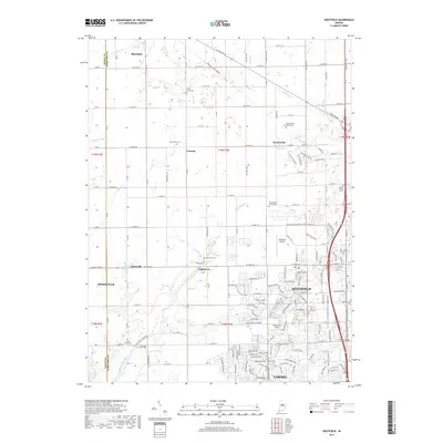
 1969 Westfield1971 Print · USGSHamilton County farmland meets growing rural centers in the late sixties as the Monon railroad still defines the local transit corridor. Genealogists and historians can trace family locations near Union Grove Ch, Chester Cem, and the old settlement at Eagletown.2 unique versions available
 - 1984 Map of Lafayette, 1985 Print
 1984 Lafayette1985 Print · USGSNorth-central Indiana thrives in the 1980s as a hub of higher education, industry, and agriculture centered on the Wabash River. Genealogists and historians can locate family sites near Darrough Chapel, Oak Hill Cem, or the small crossroads of Thorntown and Colfax.2 unique versions available
 - 1992 Map of Westfield, 1995 Print
 1992 Westfield1995 Print · USGSHamilton County farmland meets growing suburban corridors in the early nineties as the local transportation network evolves. Researchers can trace ancestral locations near Jolietville, find rural landmarks like Sugar Grove Ch, or follow the path of the Central Indiana Railroad.
 - 2010 Map of Sheridan, 2010 Print
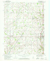
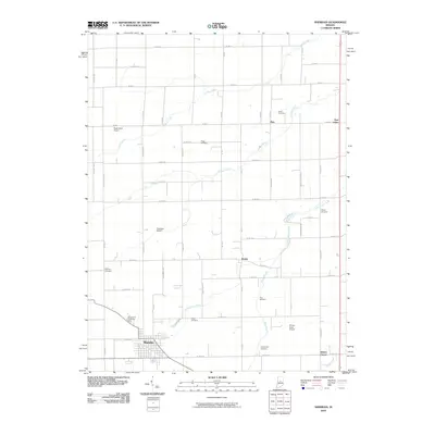 2010 Sheridan2010 Print · USGSCovers Sheridan, including Ekin, Bakers Corner, and other nearby areas
 - 2010 Map of Westfield, 2010 Print
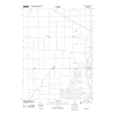 2010 Westfield2010 Print · USGSCovers Sheridan, including Carmel, Westfield, and other nearby areas
 - 2013 Map of Westfield, 2013 Print
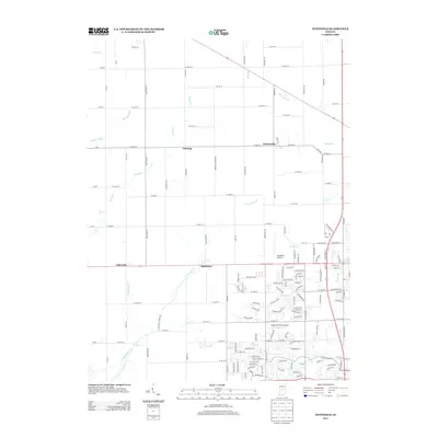 2013 Westfield2013 Print · USGSCovers Sheridan, including Carmel, Westfield, and other nearby areas
 - 2013 Map of Sheridan, 2013 Print
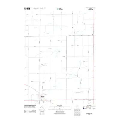 2013 Sheridan2013 Print · USGSCovers Sheridan, including Ekin, Bakers Corner, and other nearby areas
 - 2016 Map of Sheridan, 2016 Print
 2016 Sheridan2016 Print · USGSCovers Sheridan, including Ekin, Bakers Corner, and other nearby areas
 - 2016 Map of Westfield, 2016 Print
 2016 Westfield2016 Print · USGSCovers Sheridan, including Carmel, Westfield, and other nearby areas
 - 2019 Map of Westfield, 2019 Print
 2019 Westfield2019 Print · USGSCovers Sheridan, including Carmel, Westfield, and other nearby areas
 - 2019 Map of Sheridan, 2019 Print
 2019 Sheridan2019 Print · USGSCovers Sheridan, including Ekin, Bakers Corner, and other nearby areas
 - 2022 Map of Sheridan, 2022 Print
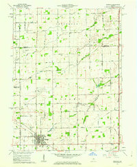
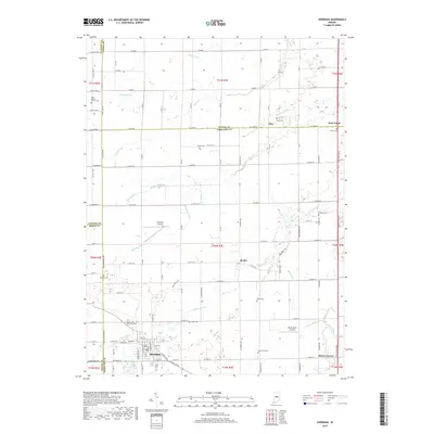
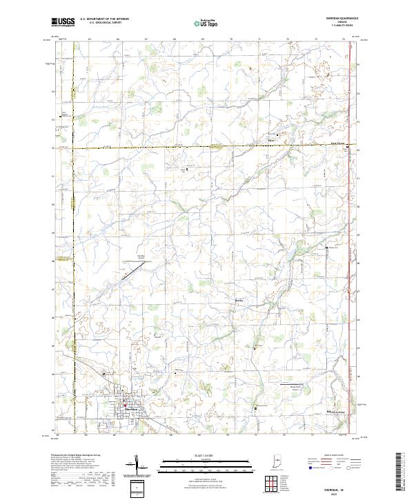 2022 Sheridan2022 Print · USGSCentral Indiana's agricultural landscape is captured here as it appeared in 2022 at the intersection of four counties. Genealogists can trace family connections through numerous rural burial sites like Union Cem, Phillips Cem, and Spicewood Cem near the town of Sheridan.
 - 2022 Map of Westfield, 2022 Print
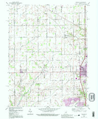
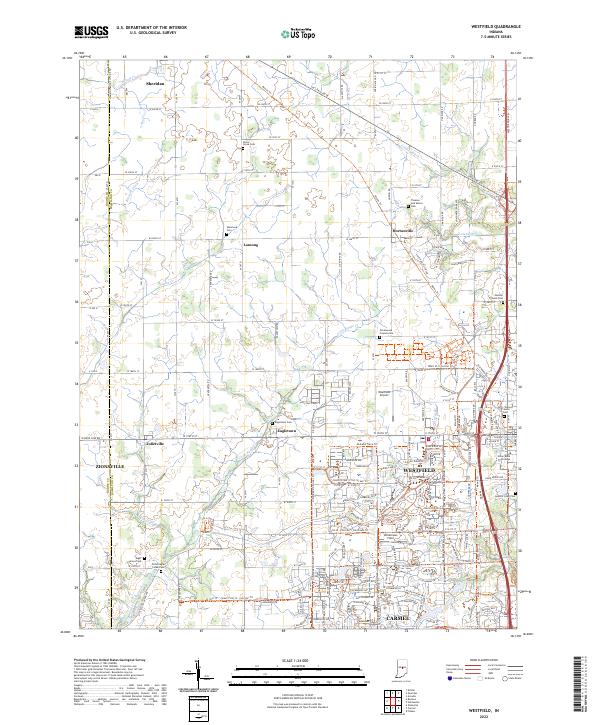 2022 Westfield2022 Print · USGSHamilton County at the start of the 2020s shows a unique blend of modern growth and deep-seated history. Researchers can trace Quaker heritage and early transport via the Anti-Slavery Friends Cem, the Monon Trl, and Union Bible College.
End of results
Showing maps 1-18 of 18
Top cities near Sheridan
- Indianapolis historical maps
- Carmel historical maps
- Fishers historical maps
- Noblesville historical maps
- Westfield historical maps
- Lawrence historical maps
See more
Frequently asked questions
- What are the different types of historical maps available for Sheridan?
- What is the oldest map of Sheridan?
- Where can I purchase historical maps of Sheridan for my home or office?
- Where can I download high-res historical maps of Sheridan?
- Are there historical topographic maps available for Sheridan?
- Is there historical aerial imagery available for Sheridan?
- Where are historical maps of Sheridan sourced from?