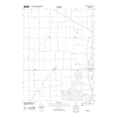
2010 Map of Westfield
USGS Topo · Published 2010About this map
Westfield serves as the primary hub of this Hamilton County landscape, where suburban residential growth meets an established agricultural grid. The map preserves the locations of several small, scattered settlements including Eagletown, Jolietville, Hortonville, and Lamong, each marking a traditional crossroads in the rural interior. Waterways like Little Eagle Creek and Cool Creek bisect the terrain, often flanked by older burial grounds that offer significant genealogical value, such as the Anti-Slavery Cemetery and the Thomas And Moore Cemetery.
Find a feature on this map
72 named features on this map. Tap any name to fly to it.
Don’t see what you’re looking for? This feature index may not catch every label — zoom into the map to look around manually.
Map Details
Editions of this 2010 Westfield Map
This is the sole edition of this map. No revisions or reprints were ever made.
Other maps of this area

1952 · Fishers
USGS Topo · 1:24,000

1952 · Carmel
USGS Topo · 1:24,000

1953 · Westfield
USGS Topo · 1:24,000

1953 · Rosston
USGS Topo · 1:24,000

1953 · Zionsville
USGS Topo · 1:24,000

1953 · Noblesville
USGS Topo · 1:24,000

1953 · Danville
USGS Topo · 1:250,000

1953 · Indianapolis
USGS Topo · 1:250,000

1955 · Danville
USGS Topo · 1:250,000

1956 · Danville
USGS Topo · 1:250,000