Old Maps of McCordsville, Indiana for Academic Research
Study the evolution of McCordsville with 18 high-resolution historic maps. Whether you're teaching, researching, or modeling changes in land use, these maps provide essential visual documentation of urban, environmental, and geographic change.
- Analyze long-term change: Track patterns in development, transportation, and natural features.
- Ideal for environmental or urban studies: Support academic projects with primary historical map data.
- Use in the classroom or lab: Educators and researchers rely on these maps to bring historical context to life.
These maps are a powerful tool for teaching, research, and visualizing how McCordsville has changed over the decades.
McCordsville, IN maps
(18)- 1952 Map of Cumberland, 1953 Print
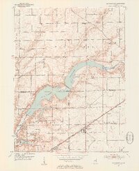
 1952 Cumberland1953 Print · USGSThe rural borderlands of Marion and Hancock Counties are captured here in the early fifties, showing the footprint of Fort Benjamin Harrison alongside small farming hamlets. Researchers can locate numerous family burial sites like Snider Cem and Arnett Cem, or trace the path of the New York Central Railroad.
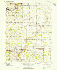
 - 1952 Map of Mc Cordsville, 1953 Print
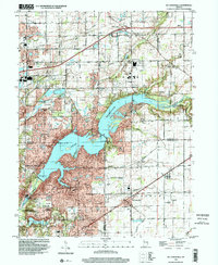
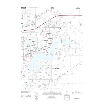
 1952 Mc Cordsville1953 Print · USGSCentral Indiana in the early fifties shows the expansion of Geist Reservoir and the established rail lines. Genealogists can trace family landmarks and rural homesteads through McCordsville, Highland Cem, and Bethlehem Ch.2 unique versions available
 - 1953 Map of Cincinnati, 1965 Print
 1953 Cincinnati1965 Print · USGSThe Ohio River valley and the industrial heartland of Indiana and Ohio are captured here during the mid-century peak of rail and river commerce. Genealogists and historians can trace connections between Cincinnati and outlying military sites like Camp Atterbury and Bakalar AFB.3 unique versions available
 - 1957 Map of Cincinnati
 1957 Cincinnati1957 Print · USGSThe Ohio River valley and its surrounding highlands thrived during the mid-fifties industrial peak, centered on the bustling Cincinnati and Dayton metropolitan hubs. Researchers can trace the extensive rail networks and military sites like Wright-Patterson AFB and Camp Atterbury.
 - 1962 Map of Mc Cordsville, 1963 Print
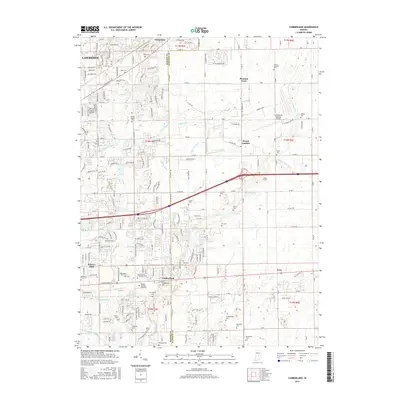
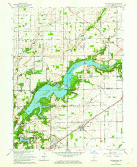 1962 Mc Cordsville1963 Print · USGSThe Geist Reservoir area undergoes a mid-century transformation where rural crossroads meet new lakeside developments. Researchers can trace ancestral sites at Arnett Cem or the rail history of McCordsville along the New York Central line.3 unique versions available
 - 1962 Map of Cumberland, 1964 Print
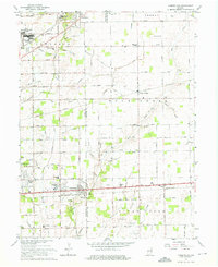 1962 Cumberland1964 Print · USGSCumberland and the eastern fringes of Indianapolis are shown here during a period of significant mid-century expansion. Researchers can trace family history through dozens of named burial grounds like Eastes Cem or locate defunct landmarks such as the Drive-in Theater and Fort Benjamin Harrison.5 unique versions available
 - 1986 Map of New Castle
 1986 New Castle1986 Print · USGSEast Central Indiana remains a patchwork of thriving county seats and rail-side hamlets in the mid-eighties. Genealogists and historians can locate family landmarks such as East Hill Cemetery, Little Blue River Church, and the transit lines of the CONRAIL railroad.2 unique versions available
 - 1998 Map of Mc Cordsville, 2002 Print
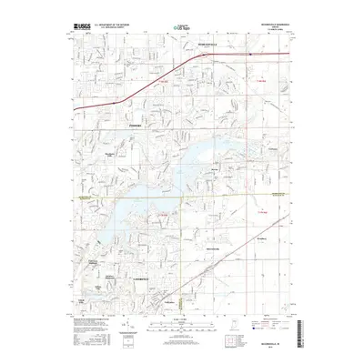
 1998 Mc Cordsville2002 Print · USGSThe growing communities northeast of Indianapolis come into focus here during the late nineties as residential development meets rural heritage. Genealogists and local historians can trace family plots like Arnett Cem or explore the early layouts of Woodbury and McCordsville along the Conrail tracks.
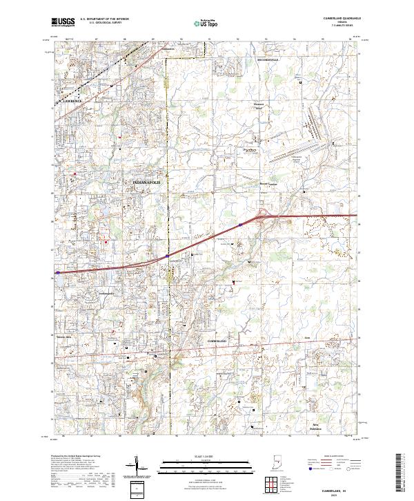
 - 2010 Map of Cumberland, 2010 Print
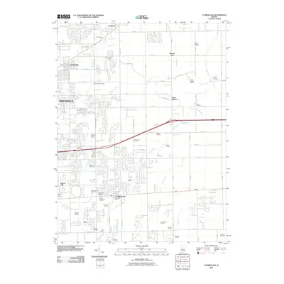 2010 Cumberland2010 Print · USGSCovers McCordsville, including Indianapolis, Lawrence, and other nearby areas
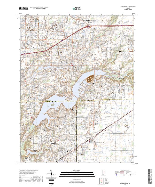
 - 2010 Map of McCordsville, 2010 Print
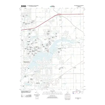 2010 McCordsville2010 Print · USGSCovers McCordsville, including Indianapolis, Fishers, and other nearby areas
 - 2013 Map of Cumberland, 2013 Print
 2013 Cumberland2013 Print · USGSCovers McCordsville, including Indianapolis, Lawrence, and other nearby areas
 - 2013 Map of McCordsville, 2013 Print
 2013 McCordsville2013 Print · USGSCovers McCordsville, including Indianapolis, Fishers, and other nearby areas
 - 2016 Map of Cumberland, 2016 Print
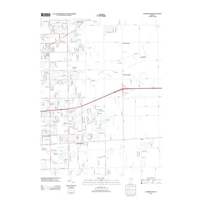
 2016 Cumberland2016 Print · USGSCovers McCordsville, including Indianapolis, Lawrence, and other nearby areas
 - 2016 Map of McCordsville, 2016 Print
 2016 McCordsville2016 Print · USGSCovers McCordsville, including Indianapolis, Fishers, and other nearby areas
 - 2019 Map of Cumberland, 2019 Print
 2019 Cumberland2019 Print · USGSCovers McCordsville, including Indianapolis, Lawrence, and other nearby areas
 - 2019 Map of McCordsville, 2019 Print
 2019 McCordsville2019 Print · USGSCovers McCordsville, including Indianapolis, Fishers, and other nearby areas
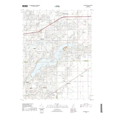
 - 2022 Map of McCordsville, 2022 Print
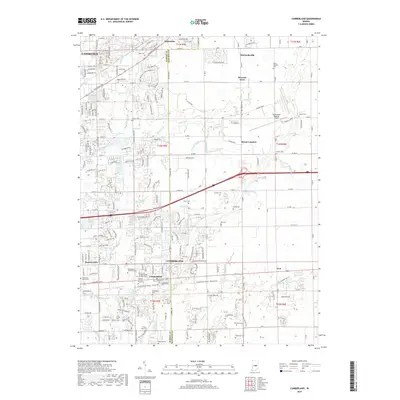
 2022 McCordsville2022 Print · USGSThe suburban and lakeside developments northeast of Indianapolis are captured here in the early twenty-first century as the region expanded. Genealogists and local historians can locate numerous family burial sites like Helm Cem and Salem Cem or trace the early paths of Oaklandon and Woodbury.
 - 2023 Map of Cumberland, 2023 Print
 2023 Cumberland2023 Print · USGSCumberland and the eastern reaches of Indianapolis are captured in this recent survey during a period of continued suburban growth. Researchers can locate numerous local landmarks including Cumberland Cem, Mount Comfort, and the Saint John United Church of Christ Cem.
End of results
Showing maps 1-18 of 18
Top cities near McCordsville
- Indianapolis historical maps
- Carmel historical maps
- Fishers historical maps
- Noblesville historical maps
- Anderson historical maps
- Westfield historical maps
See more
Frequently asked questions
- What are the different types of historical maps available for McCordsville?
- What is the oldest map of McCordsville?
- Where can I purchase historical maps of McCordsville for my home or office?
- Where can I download high-res historical maps of McCordsville?
- Are there historical topographic maps available for McCordsville?
- Is there historical aerial imagery available for McCordsville?
- Where are historical maps of McCordsville sourced from?