2010s Maps of Harrison County, Indiana
Explore 68 historic maps of Harrison County from the 2010s. These maps offer a rare glimpse into what life looked like during the 2010s — showing old roads, neighborhoods, homes, and landmarks that have changed or disappeared over time.
Whether you're researching your family's past, planning a metal detecting trip, or studying how Harrison County's landscape evolved across the 2010s, these high-resolution maps are a powerful tool for exploring the history of this region.
- Focus on a specific era: All maps on this page are from the 2010s, giving you a focused view of this time period.
- See what’s changed: Compare century-old streets, trails, and buildings to today's modern landscape using overlays and satellite layers.
- Research with precision: Use these maps for genealogy, historical research, land use analysis, or educational projects.
- View, download, or print: Maps are fully viewable online in high resolution, and can be downloaded or printed for your own records.
Start exploring Harrison County's history through authentic maps from the 2010s. This is your window into the past.
Harrison County, IN maps
(68)- 2010 Map of Corydon East, 2010 Print
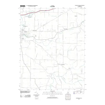 2010 Corydon East2010 Print · USGSIndiana's rural heritage in Harrison County is preserved here just as the new millennium progressed, showing the area's steady growth. Genealogists and local historians can trace family roots through Cedar Hill Cemetery, the community of New Middletown, and the grounds of Harrison Grange.
 - 2010 Map of Palmyra, 2010 Print
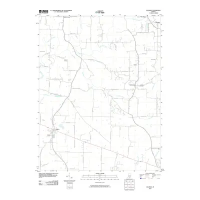 2010 Palmyra2010 Print · USGSSouthern Indiana's rolling landscape is documented here in the early twenty-first century as small towns and family farms persist along the river forks. Genealogists can locate several historic burial sites like Hiestand Cemetery and Palmyra Cemetery while tracing the path of the ancient Buffalo Trace Rd.
 - 2010 Map of Georgetown, 2010 Print
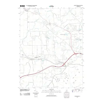 2010 Georgetown2010 Print · USGSGeorgetown and Floyds Knobs are shown during a period of suburban expansion and rural continuity in the early 2000s. Genealogists can locate several historic burial grounds, including Buttontown Cemetery and Wolfe Cemetery, while tracing old routes like Old Vincennes Rd.
 - 2010 Map of Crandall, 2010 Print
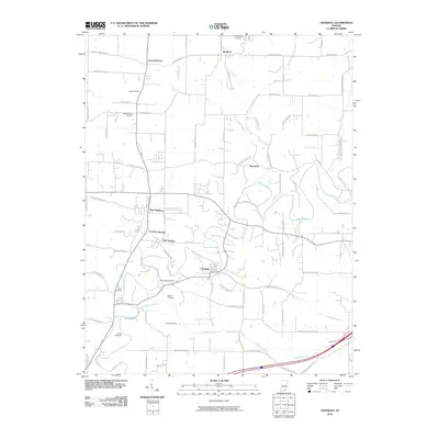 2010 Crandall2010 Print · USGSHarrison County in the early twenty-first century reveals a landscape of enduring rural settlements and numerous family cemeteries. Genealogists can trace local heritage through Bethlehem Cemetery, Flock Cemetery, and transit points like Corydon Junction.
 - 2010 Map of Fort Knox, 2010 Print
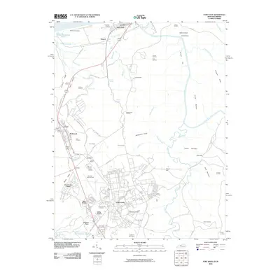 2010 Fort Knox2010 Print · USGSThe northern edge of the Hardin County military complex is captured here at the start of the 2010s. Researchers can locate the United States Bullion Depository, Godman Army Air Field, and numerous family burial sites like McIntire Cemetery.
 - 2010 Map of Lanesville, 2010 Print
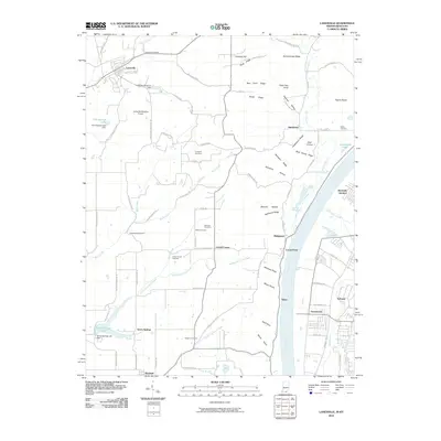 2010 Lanesville2010 Print · USGSThe Indiana-Kentucky borderlands along the Ohio River are detailed here in the early twenty-first century. Researchers can locate numerous family-named burial grounds like Tabler Cemetery and Heistand Cemetery or trace landmarks such as Lanesville Skyways Airport.
 - 2010 Map of Rock Haven, 2010 Print
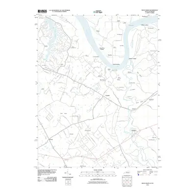 2010 Rock Haven2010 Print · USGSThe Ohio River frontier between Kentucky and Indiana is captured here as modern infrastructure meets historic river landings. Genealogists and historians can trace family burial sites like Stephens Cemetery and locate vanished landmarks such as Doe Run Mill and Lickskillet.
 - 2010 Map of Depauw, 2010 Print
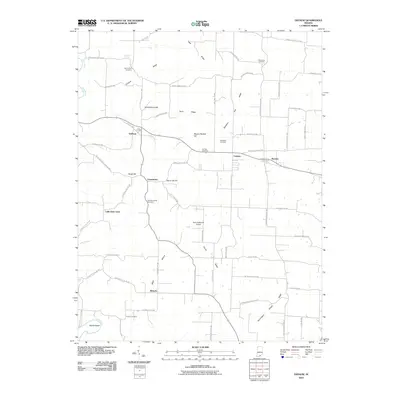 2010 Depauw2010 Print · USGSHarrison County at the turn of the decade reveals a mosaic of small communities and ridge-top settlements. Researchers can trace local lineage through Mount Zion Cemetery and Saint Bernards Cemetery or follow the winding Blue River to the Devils Elbow.
 - 2010 Map of Fredericksburg, 2010 Print
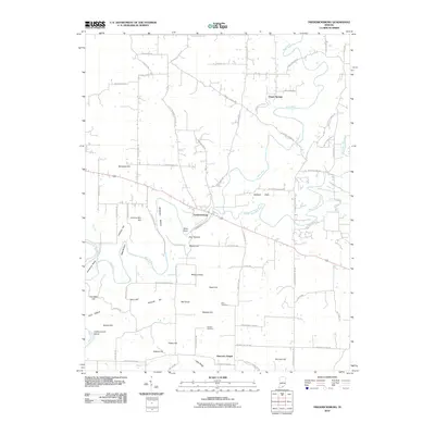 2010 Fredericksburg2010 Print · USGSThe rural landscape of Washington County comes alive in this early 21st-century survey of the Blue River valley. Researchers can trace family history through sites like Hancock Chapel, Reno Cemetery, and the high ground of Wildcat Knob and McIntosh Hill.
 - 2010 Map of Milltown, 2010 Print
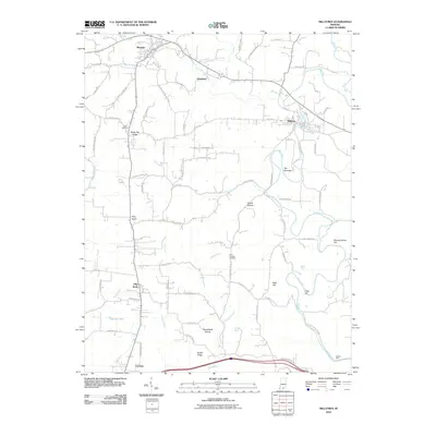 2010 Milltown2010 Print · USGSSouthern Indiana's river-carved hills come into focus in the decade before the modern era, centered on the tight bends of the Blue River. Genealogists and local historians can trace family locations near White Cemetery, Sharps Mill, and the settlement of Marengo.
 - 2010 Map of Mauckport, 2010 Print
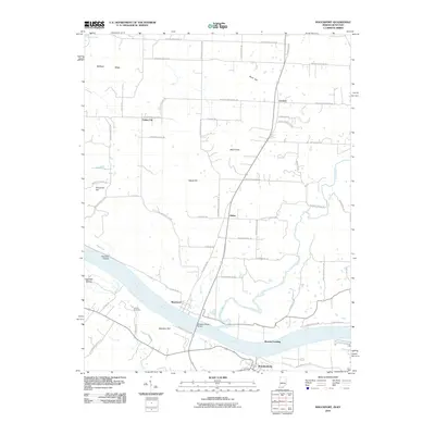 2010 Mauckport2010 Print · USGSThe Ohio River borderlands between Indiana and Kentucky appear in detail during the early twenty-first century. Genealogists and local historians can trace the riverfront at Mauckport, locate Atwell Cemetery, and explore the terrain of Haunted Hollow.
 - 2010 Map of Corydon West, 2010 Print
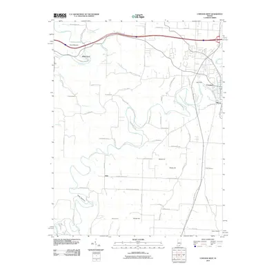 2010 Corydon West2010 Print · USGSHarrison County at the start of the 2010s shows a landscape defined by the winding waters of Indian Creek and the Blue River. Genealogists can locate several rural burial grounds including Conrad Cemetery and Jordan Cemetery among small communities like Dixie.
 - 2010 Map of Laconia, 2010 Print
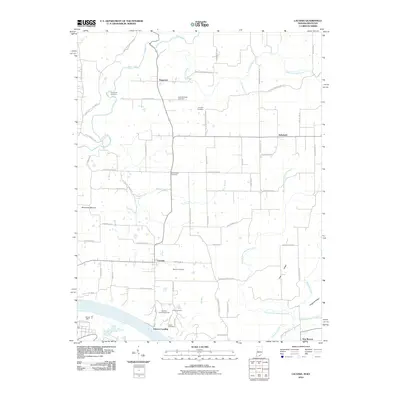 2010 Laconia2010 Print · USGSHarrison County's river-bluff country comes alive in this survey of the Laconia area during the early twenty-first century. Genealogists and local historians can trace family ties through Old Goshen Cemetery or locate the historic riverfront at Tobacco Landing.
 - 2010 Map of New Amsterdam, 2010 Print
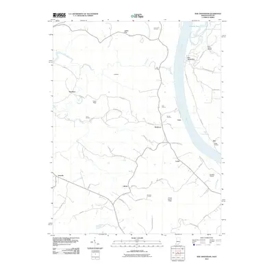 2010 New Amsterdam2010 Print · USGSThe Indiana-Kentucky border along the Ohio River is captured here during the early twenty-first century. Researchers can trace rural lineages through local landmarks like Crown Hill Cemetery, Battletown, and the ridges surrounding Wolf Creek.
 - 2011 Map of Hardinsburg, 2011 Print
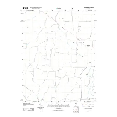 2011 Hardinsburg2011 Print · USGSSouthern Indiana's karst landscape is documented here in the early 2000s, showing the rural area between Hardinsburg and Marengo. Researchers can trace old family burial sites at Walton Cemetery or investigate unique geological features like Scotland Cave Sink and Honey Sink.
 - 2011 Map of Kosmosdale, 2011 Print
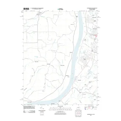 2011 Kosmosdale2011 Print · USGSThe banks of the Ohio River near the mouth of the Salt River come alive in this recent survey of the Kentucky-Indiana border. Researchers can find numerous family burial grounds like Colvin Cemetery and Pauley Cemetery, alongside river towns like West Point and Kosmosdale.
 - 2012 Map of Leavenworth, 2012 Print
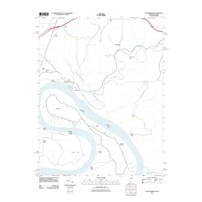 2012 Leavenworth2012 Print · USGSThe Ohio River meanders through Crawford County in the early 2000s, shaping the life and landscape of Leavenworth. Researchers can locate several burial grounds like Everton Cemetery and Thacker Cemetery or trace landmarks such as Artist Point and the Big Bend.
 - 2013 Map of Kosmosdale, 2013 Print
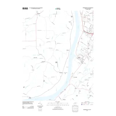 2013 Kosmosdale2013 Print · USGSThe Ohio River valley south of Louisville comes into focus in the early twenty-first century, showing the interface between industrial river sites and growing residential suburbs. Genealogists can trace family heritage through local landmarks like Mill Creek Cem, Rabbit Hash Ridge, and the small settlement of Elizabeth.
 - 2013 Map of Fort Knox, 2013 Print
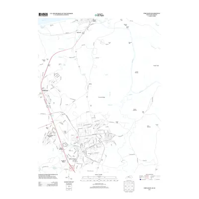 2013 Fort Knox2013 Print · USGSFort Knox and the Ohio River confluence are mapped here in the early twenty-first century, showing the modern layout of the military reservation and neighboring towns. Researchers can locate the United States Bullion Depository and trace numerous family burial sites like Boone Cem and Gentry Cem.
 - 2013 Map of Rock Haven, 2013 Print
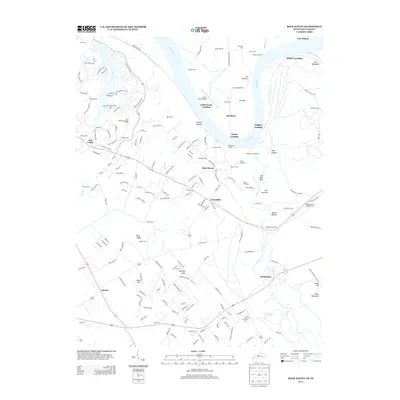 2013 Rock Haven2013 Print · USGSThe riverfront communities of Harrison County and Meade County thrived along this stretch of the Ohio River in the early twenty-first century. Genealogists and historians can trace family burial sites at Garnettsville Cem or locate industrial markers like Doe Run Mill and the Cedar Farm Landing.
 - 2013 Map of Crandall, 2013 Print
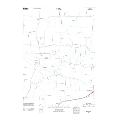 2013 Crandall2013 Print · USGSHarrison County in the early twenty-first century remains a landscape of historic crossroads and small rail-connected hamlets. Genealogists and local historians can trace the foundations of communities like Crandall, New Salisbury, and Mott Station along the banks of Indian Cr.
 - 2013 Map of Corydon East, 2013 Print
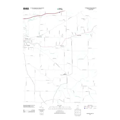 2013 Corydon East2013 Print · USGSHarrison County at the beginning of the 2010s shows a mix of growing residential communities and traditional rural crossroads. Researchers can trace the heritage of local hubs like Kings Store and Harrison Grange or locate family landmarks near Sulphur Spring.
 - 2013 Map of Fredericksburg, 2013 Print
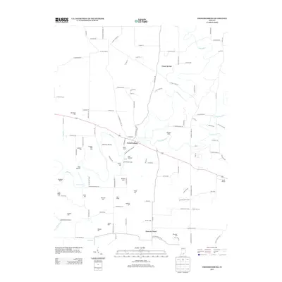 2013 Fredericksburg2013 Print · USGSWashington County enters the twenty-first century with its river-carved landscape and rural crossroads well-defined. Genealogists and hikers can trace family-named landmarks like Greene Mill Hill, visit the community at Hancock Chapel, or locate Leatherwood Island along the Blue River.
 - 2013 Map of Palmyra, 2013 Print
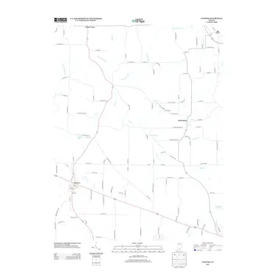 2013 Palmyra2013 Print · USGSSouthern Indiana at the start of the 2010s reveals a landscape of rural crossroads and river tributaries. Genealogists and local historians can trace the developments around Palmyra, the streets of Old Pekin, and the quiet outskirts of Martinsburg.
 - 2013 Map of Mauckport, 2013 Print
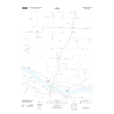 2013 Mauckport2013 Print · USGSThe riverfront communities of Harrison County, Indiana, and Meade County, Kentucky, are detailed here during the early 2010s. Genealogists and local historians can trace family-named terrain like Shireman Hill and Hayes Hill, or locate small settlements such as Glidas and Morvins Landing.
Showing maps 1-25 of 68
Top cities of Harrison County
- Corydon historical maps
- Palmyra historical maps
- Lanesville historical maps
- Elizabeth historical maps
- Crandall historical maps
- New Middletown historical maps
See more
Frequently asked questions
- What are the different types of historical maps available for Harrison County?
- What is the oldest map of Harrison County?
- Where can I purchase historical maps of Harrison County for my home or office?
- Where can I download high-res historical maps of Harrison County?
- Are there historical topographic maps available for Harrison County?
- Is there historical aerial imagery available for Harrison County?
- Where are historical maps of Harrison County sourced from?