Old Maps of Huntington, Indiana for Metal Detecting
Plan your next treasure hunt with 32 historic maps of Huntington. Find old homesites, ghost towns, trails, and gathering spots that may be lost to time — perfect for identifying promising metal detecting locations.
- Locate forgotten sites: Uncover places like long-lost settlements, abandoned rail lines, or gathering spots.
- Plan better hunts: Use map overlays combined with LiDAR or satellite views to narrow in on historically rich areas.
- Made for detectorists: Thousands of hobbyists use these maps to discover relics, coins, and hidden history.
Use these historic maps to boost your research and find new opportunities beneath the surface of Huntington.
Huntington, IN maps
(32)- 1950 Map of Andrews, 1965 Print
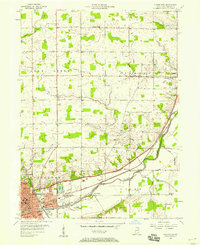
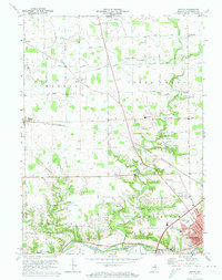
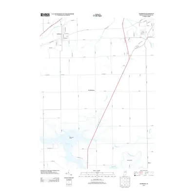
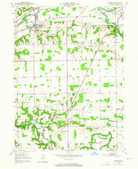 1950 Andrews1965 Print · USGSHuntington County's rural townships are documented in the early 1950s, showing a landscape shaped by the Wabash River and Wabash RR. Genealogists can trace family ties through Pleasant Grove Ch, Lancaster Twp Sch, and the winding Heineys Bend.
 - 1951 Map of Andrews
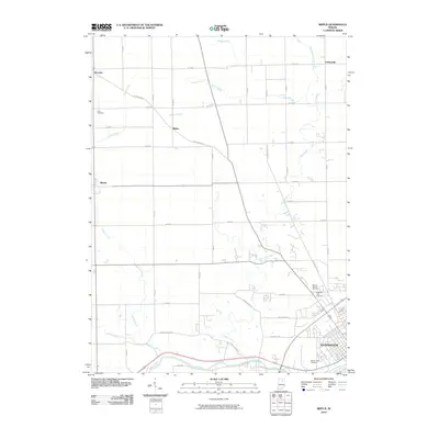
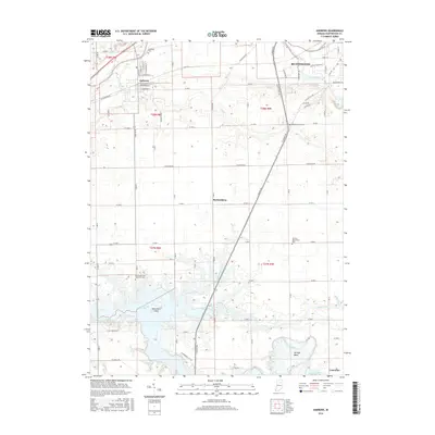
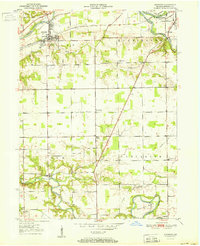 1951 Andrews1951 Print · USGSHuntington County's river valleys and rural crossroads are meticulously documented in the early fifties, showing the area's agricultural and rail-dependent landscape. Researchers can trace family sites near Monument City, Majenica, and country landmarks like Pilcher Chapel or Lancaster Twp Sch.
 - 1952 Map of Majenica, 1953 Print
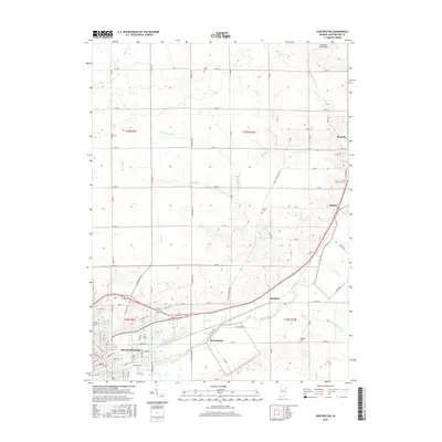
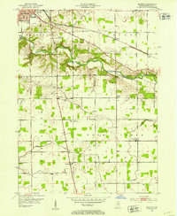 1952 Majenica1953 Print · USGSHuntington County and the southern reaches of the county seat are captured in the early fifties as the region balanced its agrarian roots with modern utility. Genealogists and local historians can locate the County Infirmary and trace sites like Loon Creek Ch or Yankeetown Cem.2 unique versions available
 - 1953 Map of Muncie, 1966 Print
 1953 Muncie1966 Print · USGSIndiana and Ohio borderlands thrive in the early fifties, showing a landscape defined by manufacturing cities and an intensive railroad network. Genealogists can trace family roots across the Indiana-Ohio line through Muncie, Celina, and Portland via the Pennsylvania railroad.5 unique versions available
 - 1955 Map of Bippus, 1957 Print
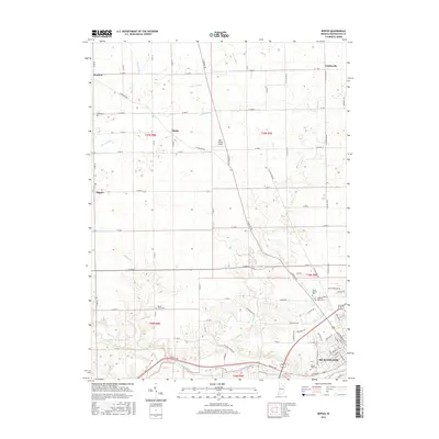
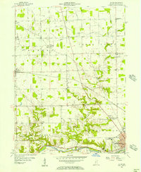 1955 Bippus1957 Print · USGSHuntington County's rural landscape is captured here in the mid-1950s as small farming communities and religious institutions defined the area. Researchers can trace historic cemeteries and schools like Clear Creek Center Sch or locate the sprawling grounds of the St Felix Monastery and Bippus.
 - 1956 Map of Muncie
 1956 Muncie1956 Print · USGSEastern Indiana and western Ohio are shown at a peak of rail-driven industry in the mid-fifties. Genealogists and rail historians can trace the paths of the Pennsylvania RR through Muncie or locate landmarks like Lake Saint Marys (Grand Lake Reservoir) and Frances Slocum State Forest.
 - 1956 Map of Huntington, 1958 Print
 1956 Huntington1958 Print · USGSHuntington and its surrounding townships are shown here in the mid-fifties, during a peak era of rail-and-river industrial activity. Genealogists and local historians can locate specific landmarks like the France Cem, St Marys Sch Ch, and the route of the old Erie Canal.
 - 1969 Map of Majenica, 1971 Print
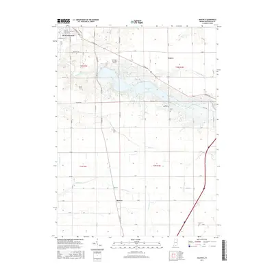
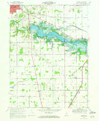 1969 Majenica1971 Print · USGSHuntington County at the end of the sixties reveals a landscape transformed by the new Huntington Reservoir and recreation areas. Researchers can trace rural family roots through the Loon Creek Ch and several local burial sites like Barnes Cem and Yankeetown Cem.3 unique versions available
 - 1969 Map of Andrews, 1971 Print
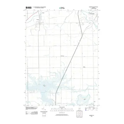
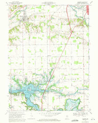 1969 Andrews1971 Print · USGSHuntington County's landscape undergoes a significant shift in the late sixties as the newly formed Salamonie Reservoir alters the local geography. Family historians can trace rural roots through the German Settlement Cem, the town of Andrews, and landmarks like Pilcher Chapel.3 unique versions available
 - 1972 Map of Huntington, 1974 Print
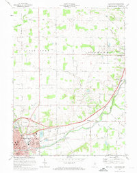 1972 Huntington1974 Print · USGSNortheastern Indiana during the early seventies shows the city of Huntington expanding alongside active rail lines and historical landmarks. Genealogists and historians can trace the Old Indian Treaty Boundary and locate rural sites like Pleasant Chapel and France Cem.3 unique versions available
 - 1972 Map of Bippus, 1974 Print
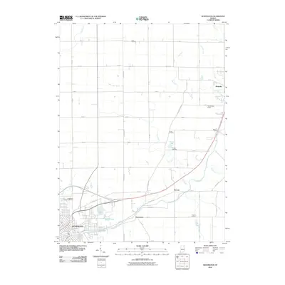
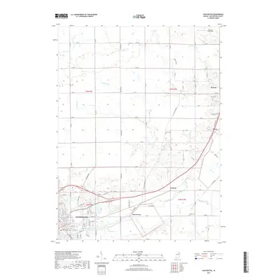
 1972 Bippus1974 Print · USGSHuntington County farmland and the northern reaches of the county seat are captured here in the early seventies as the region modernized. Genealogists and local historians can trace family locations near Bippus, St Peters Cem, and the Erie-Lackawanna rail line.
 - 1986 Map of Wabash
 1986 Wabash1986 Print · USGSThe Wabash Valley and surrounding Indiana farm country are captured here in the mid-eighties, showing a landscape reshaped by major reservoirs. Genealogists and local historians can trace the paths of the Old Indian Trail and the industrial reach of the Conrail line through towns like Lagro and Warren.2 unique versions available
 - 2010 Map of Bippus, 2010 Print
 2010 Bippus2010 Print · USGSCovers Huntington, including Goblesville, The Village, and other nearby areas
 - 2010 Map of Andrews, 2010 Print
 2010 Andrews2010 Print · USGSCovers Huntington, including Andrews, Lakttun, and other nearby areas
 - 2010 Map of Huntington, 2010 Print
 2010 Huntington2010 Print · USGSCovers Huntington, including Roanoke, Bowerstown, and other nearby areas
 - 2010 Map of Majenica, 2010 Print
 2010 Majenica2010 Print · USGSCovers Huntington, including Simpson, Bowlin, and other nearby areas
 - 2013 Map of Bippus, 2013 Print
 2013 Bippus2013 Print · USGSCovers Huntington, including Goblesville, The Village, and other nearby areas
 - 2013 Map of Huntington, 2013 Print
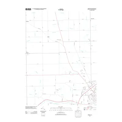
 2013 Huntington2013 Print · USGSCovers Huntington, including Roanoke, Bowerstown, and other nearby areas
 - 2013 Map of Majenica, 2013 Print
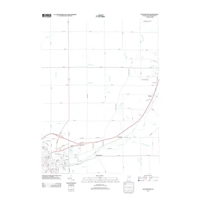
 2013 Majenica2013 Print · USGSCovers Huntington, including Simpson, Bowlin, and other nearby areas
 - 2013 Map of Andrews, 2013 Print
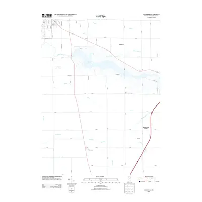
 2013 Andrews2013 Print · USGSCovers Huntington, including Andrews, Lakttun, and other nearby areas
 - 2016 Map of Andrews, 2016 Print
 2016 Andrews2016 Print · USGSCovers Huntington, including Andrews, Lakttun, and other nearby areas
 - 2016 Map of Huntington, 2016 Print
 2016 Huntington2016 Print · USGSCovers Huntington, including Roanoke, Bowerstown, and other nearby areas
 - 2016 Map of Majenica, 2016 Print
 2016 Majenica2016 Print · USGSCovers Huntington, including Simpson, Bowlin, and other nearby areas
 - 2016 Map of Bippus, 2016 Print
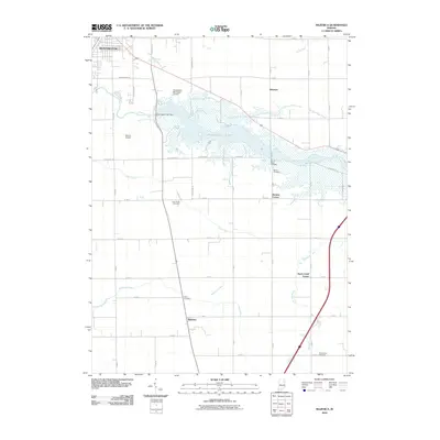
 2016 Bippus2016 Print · USGSCovers Huntington, including Goblesville, The Village, and other nearby areas
 - 2019 Map of Huntington, 2019 Print
 2019 Huntington2019 Print · USGSCovers Huntington, including Roanoke, Bowerstown, and other nearby areas
Showing maps 1-25 of 32
Top cities near Huntington
- Fort Wayne historical maps
- Aboite historical maps
- South Whitley historical maps
- Roanoke historical maps
- Warren historical maps
- Lancaster historical maps
See more
Frequently asked questions
- What are the different types of historical maps available for Huntington?
- What is the oldest map of Huntington?
- Where can I purchase historical maps of Huntington for my home or office?
- Where can I download high-res historical maps of Huntington?
- Are there historical topographic maps available for Huntington?
- Is there historical aerial imagery available for Huntington?
- Where are historical maps of Huntington sourced from?